Sierra de Castril
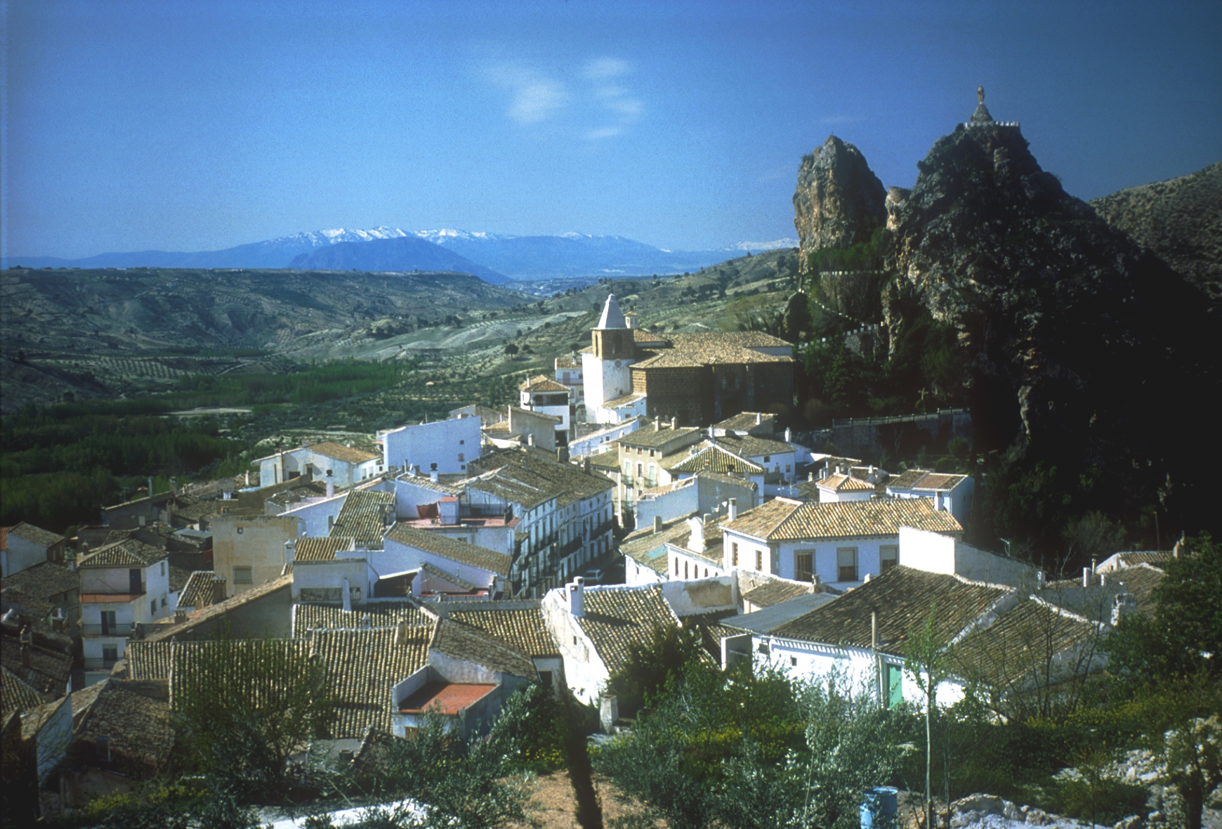
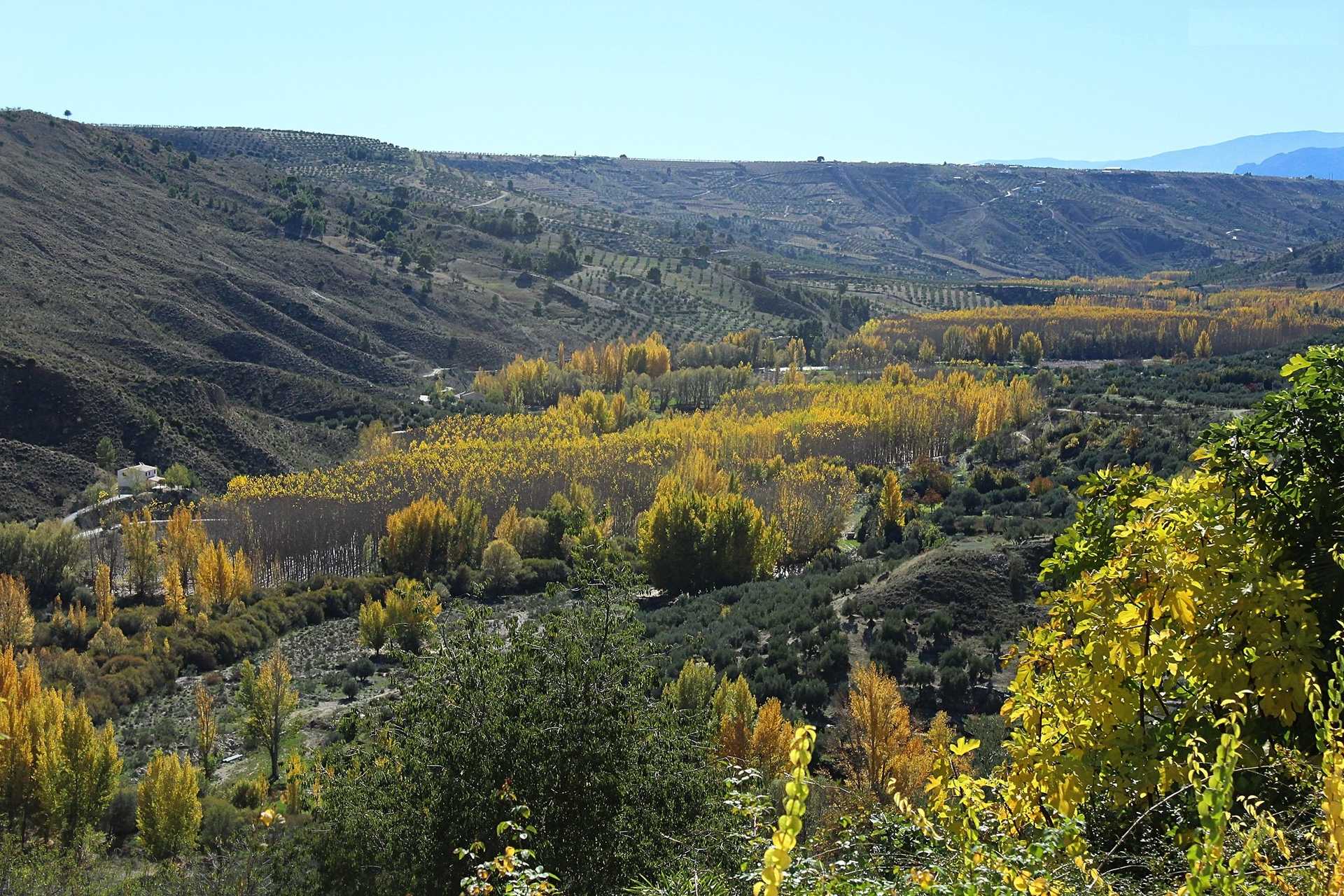
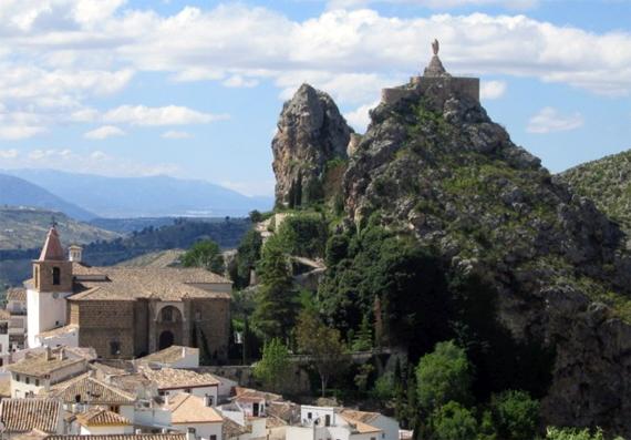
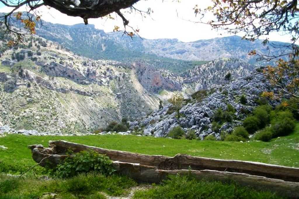
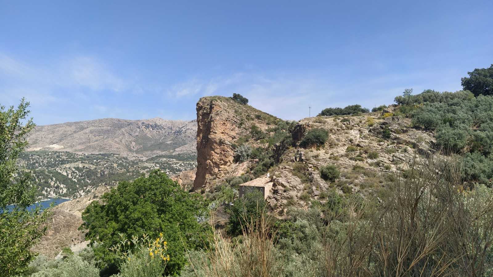
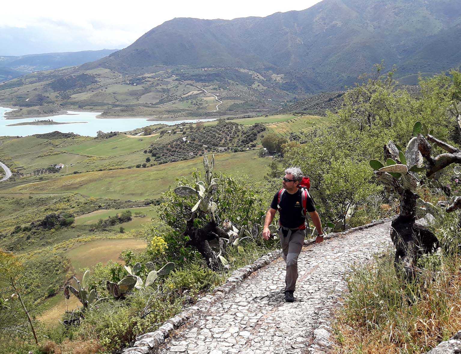
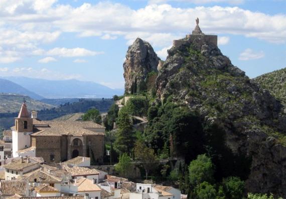
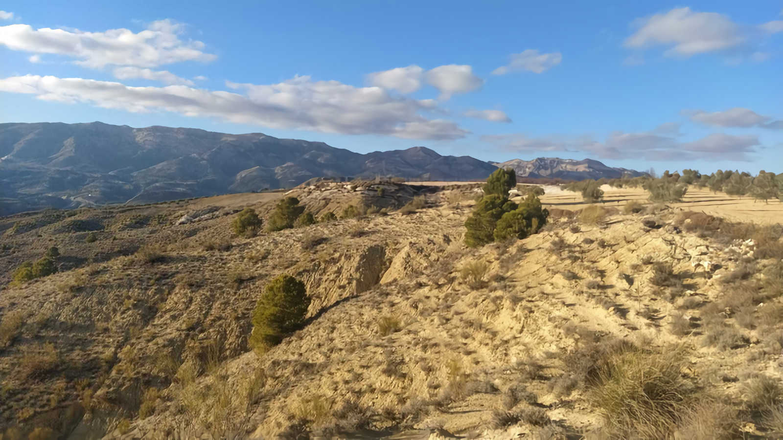
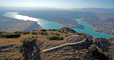
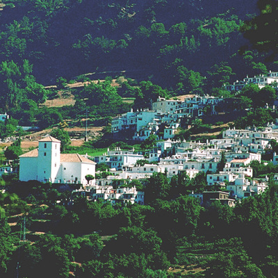
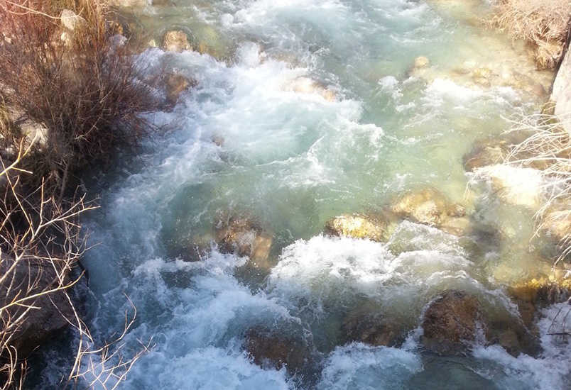
Along the sunny slopes of Sierra de Cazorla and north of the province of Granada, Sierra de Castril rotates around the water axis of the river that gives its name to the mountains. A stream that, like a huge inverted funnel, irrigates water and land from the highest peaks, where they surpass two thousand metres, spilling orchards along the high plateau of Granada.
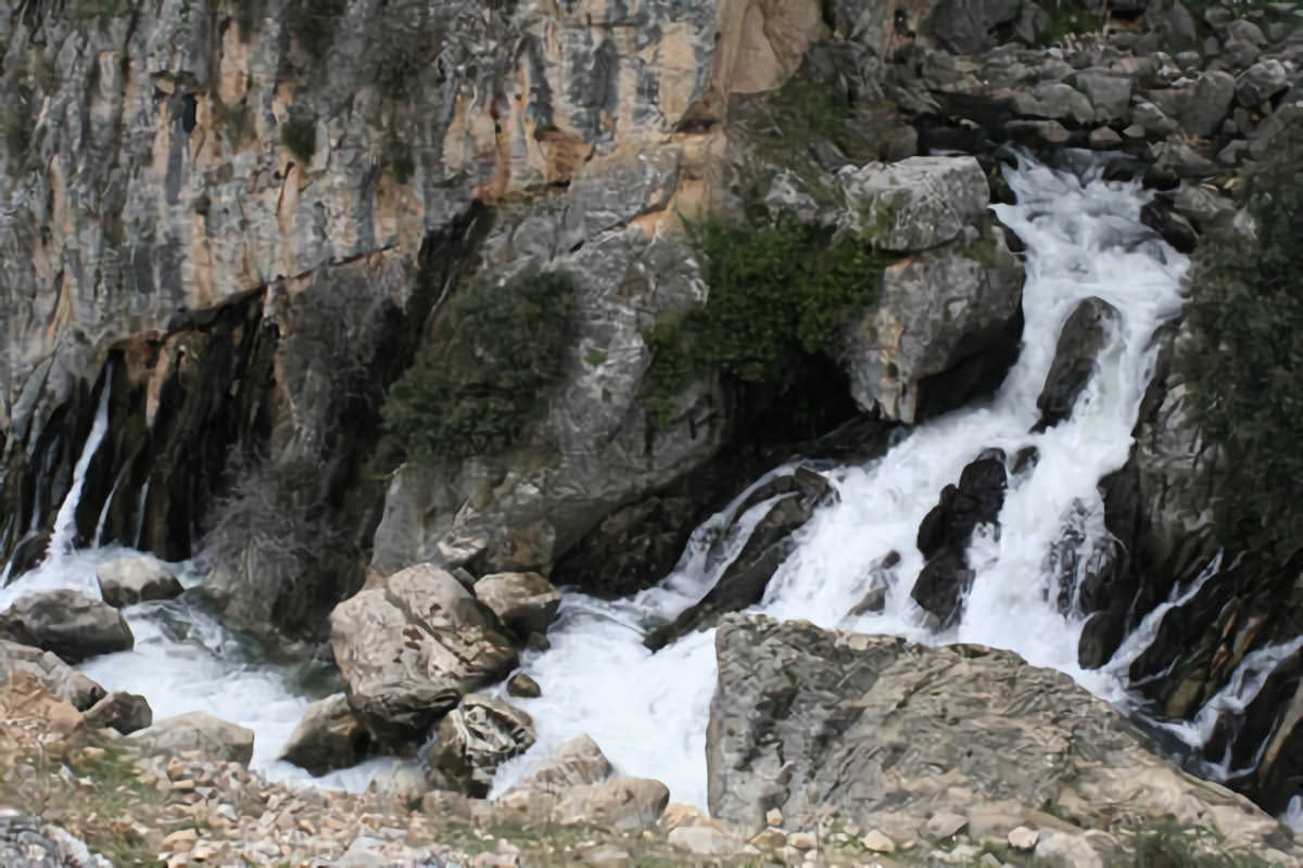
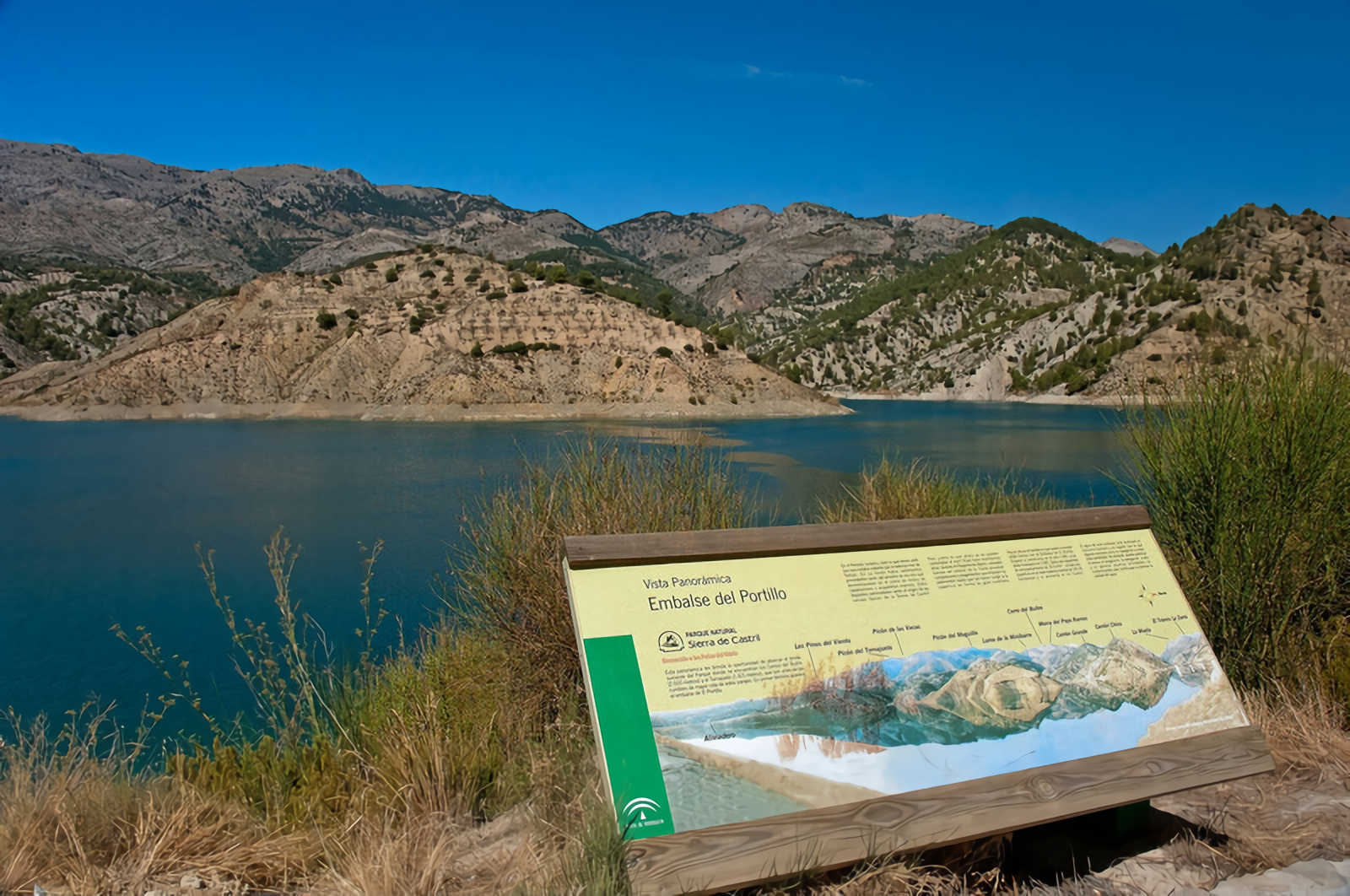
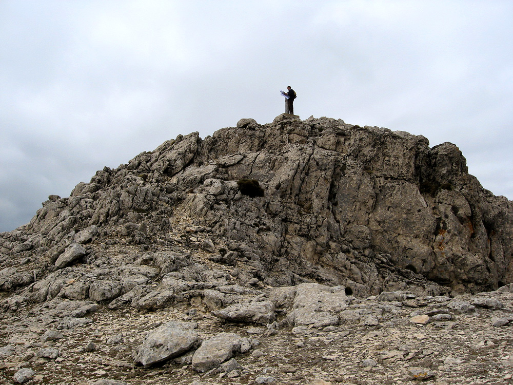
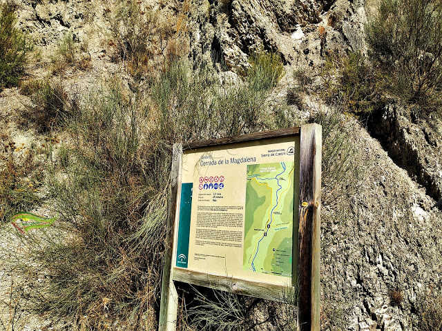
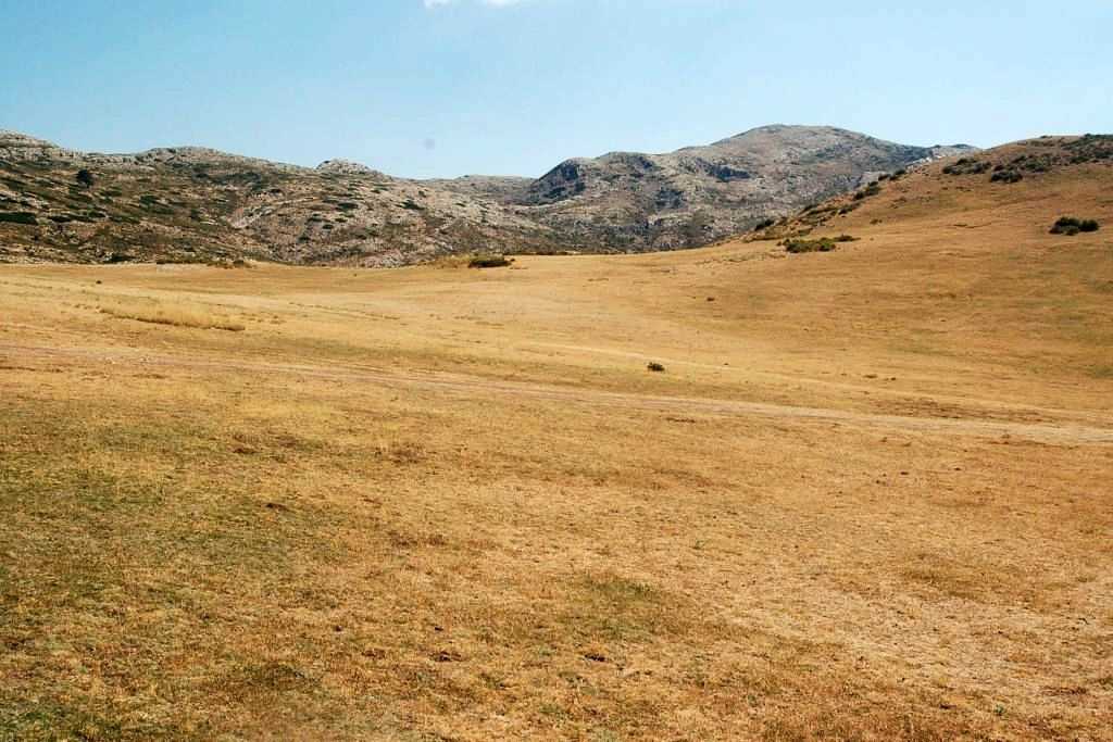
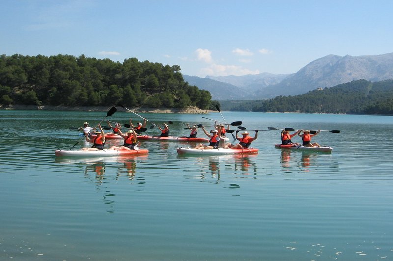
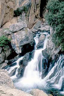
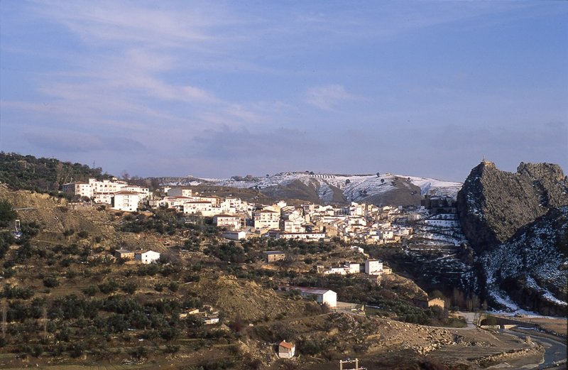
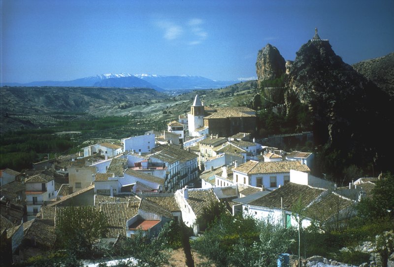
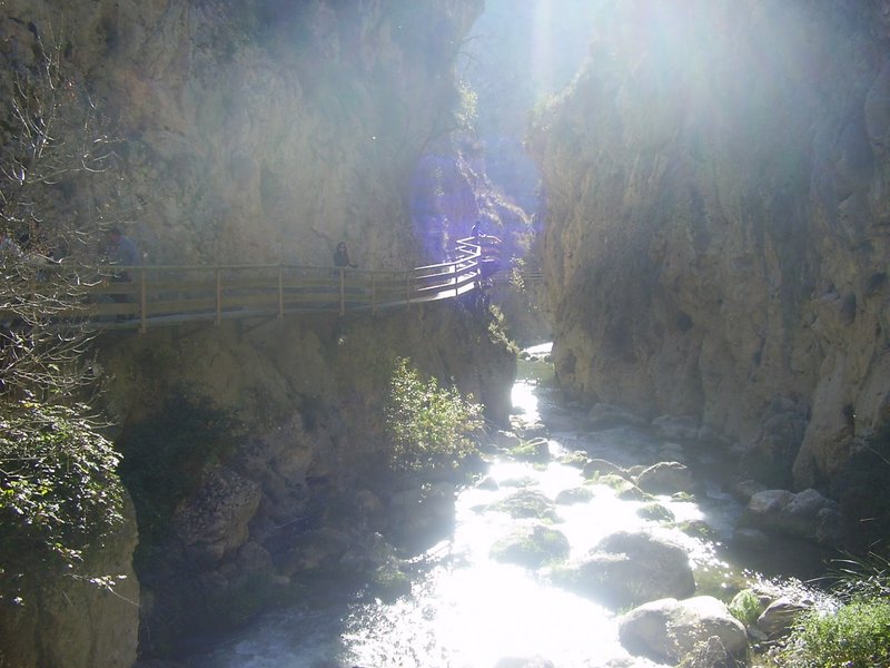
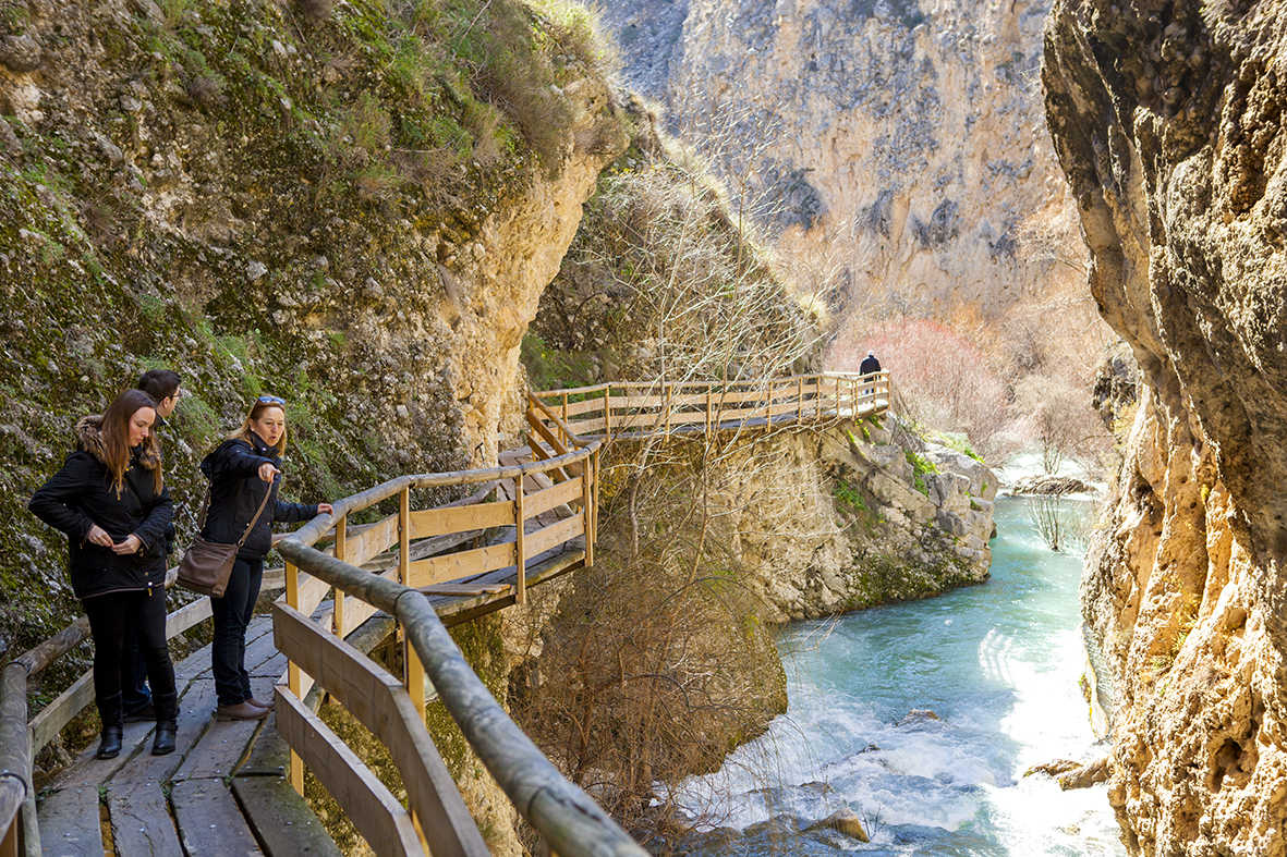
The different rock along which the waters run will condition the resulting landscape. This way, the peaks are dominated by the Los Prados del Conde lapiaces, sink-holes, and the ephemeral lakes in La Torca de Fuenfría and La Laguna, which give way in the middle of its course to wide and deep valleys in the main one, while its tributaries carve vertical ravines, beautiful enclosed and spectacular waterfalls of La Magdalena and Lézar. Arriving to the town of Castril, the river, dammed at El Portillo, later spills along a row of highly colourful orchards before becomes lost in the dryness of the plateau.
Points of interest
Make your reservation
Services and infrastructure
Target audiences
Segments
Type of activity
Quality brands
Environmental units
Statement date
Area (m2)
You may be interested
