Cerro del Buitre - PR-A 349 Trail
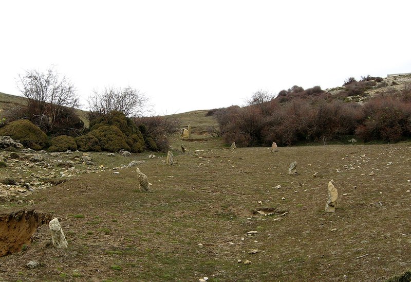
The Cerro del Buitre Trail - PR-A 349 starts off in the beautiful countryside between Buitre hill and crag.
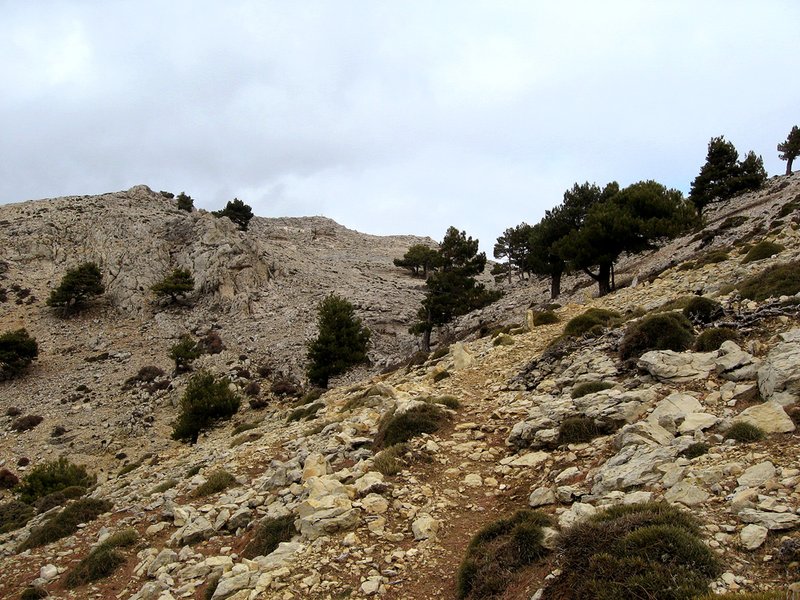
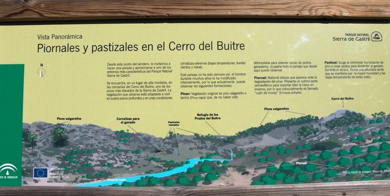
The path gradually zigzags upwards, first in an area with little vegetation that it leaves behind as we find ourselves in a dense black pine forest. From here, the singing of local birds will accompany us until we reach the Laude gorge.
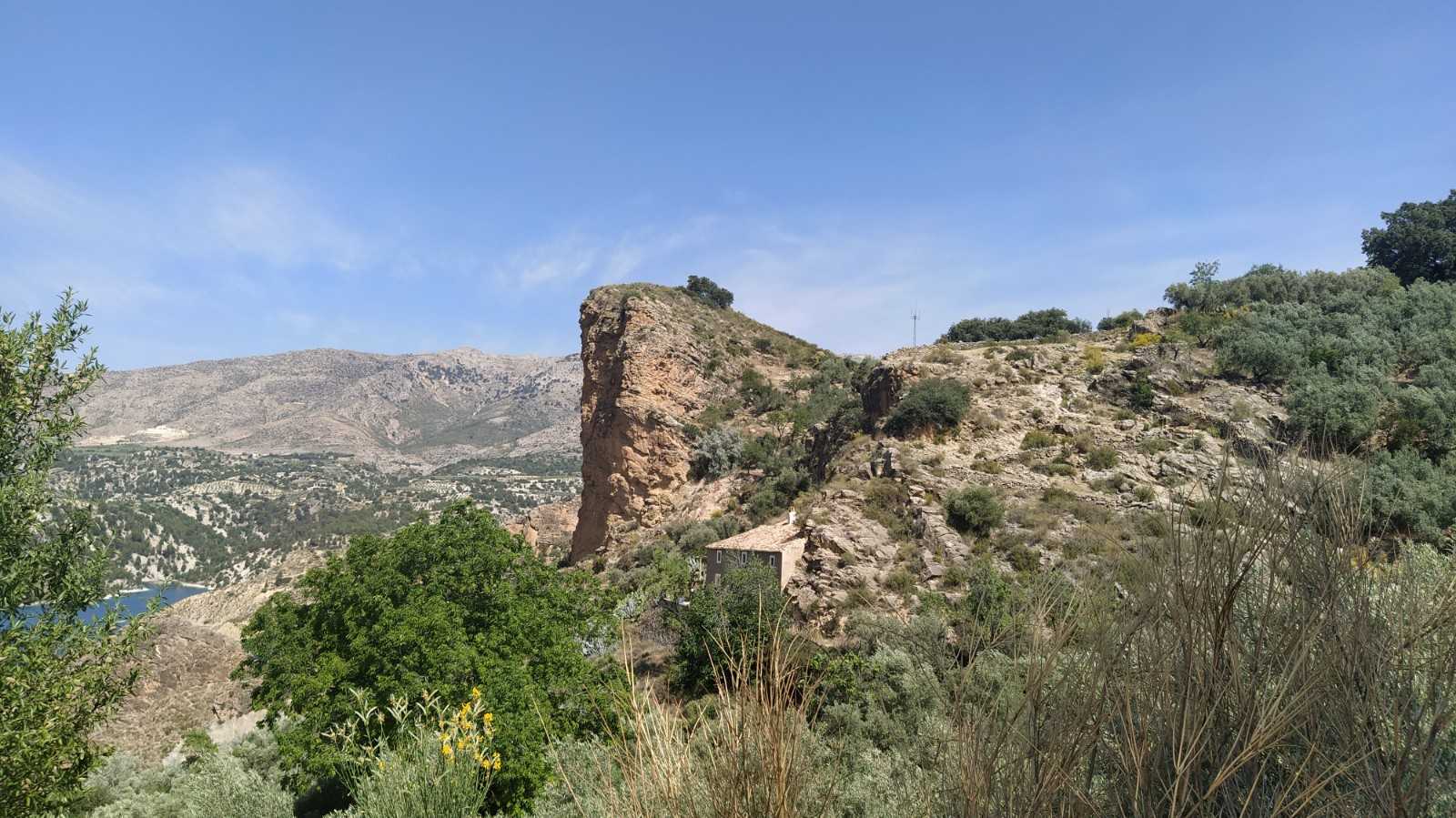
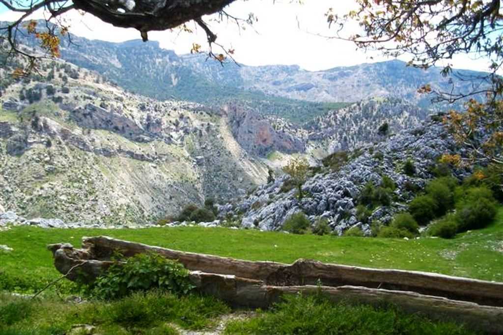
Following the gorge, we continue ascending to Poyo Ramos mountain pass, which crosses the fanciful shapes that the water has created when eroding the rocks. It is worth making a short stop at this point as from here, in addition to the natural sculptures, we have our first beautiful view of Buitre hill, which should not discourage us even it is still quite a distance away.
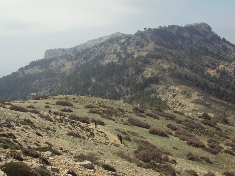
Our ascent continues until we easily reach the high mountain meadows, which are an impressive green colour in spring when the winter snow has disappeared. Here we will see a little hut that serves as a shelter for shepherds. From here on to Buitre hill, we can observe how the vegetation becomes more sparse and there are creeping plants in tufts.
We cross the so-called Spanish broomon these ramps. Due to the weather conditions, the increasingly dispersed black pines here are also crooked and frequently truncated, which is a sign of which way the wind usually blows.
We will then reach Prados del Buitre, which is of great interest for grazing sheep, primarily the 'segureña' breed and goats. We will come round Buitre hill on the right from the 'tornajos', the name of the existing drinking troughs.
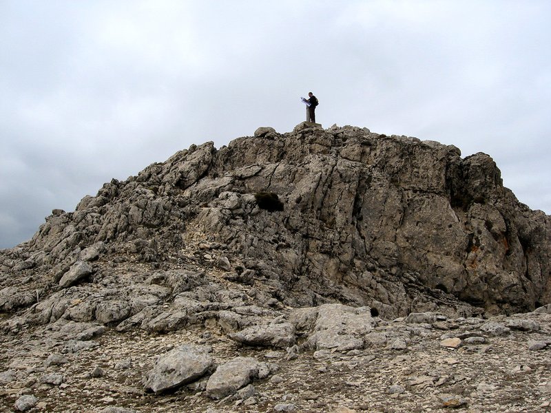
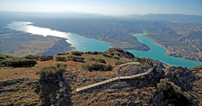
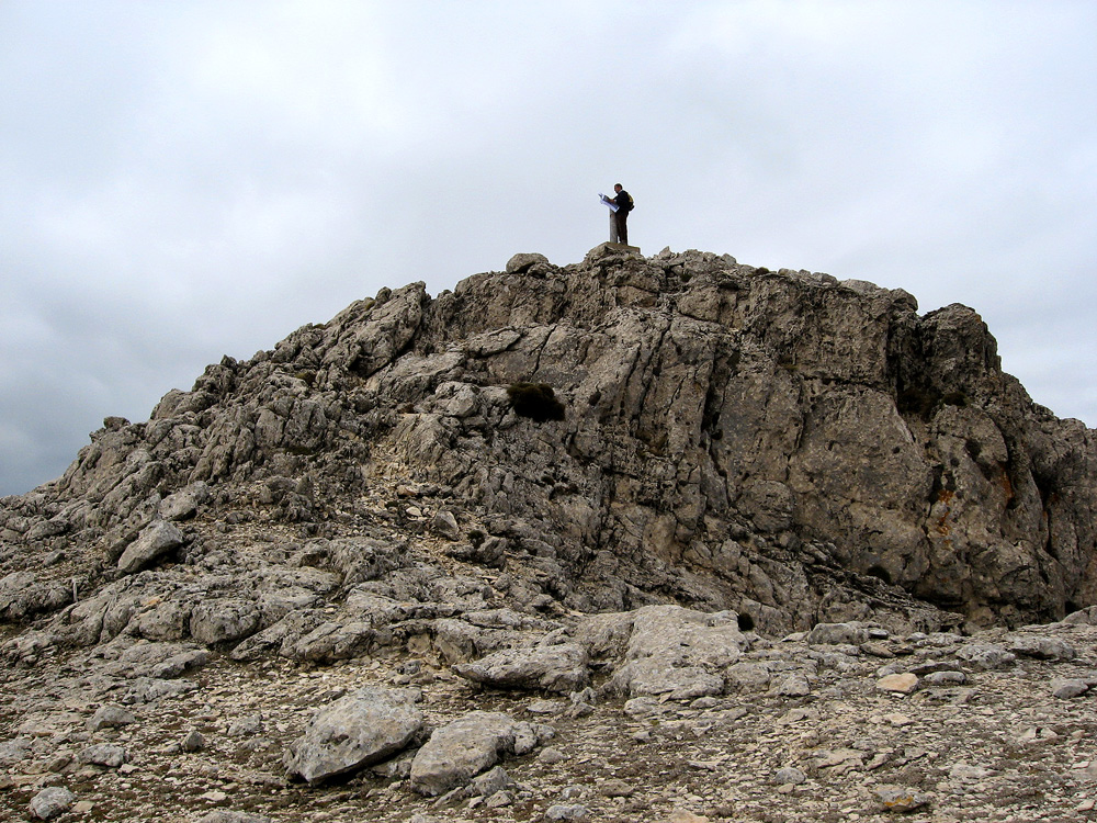
After one last effort we reach the top, where we can take in stunning views of the Castril and Pozo mountains, the Sagra range to the northwest, and further south, the Seca range, with the river valley, Portillo reservoir and the town of Castril in the background. We will make the descent on the other hill of the Laude gorge which offers outstanding views, and then come down on the same path to the shelter.
A little further down is the turn-off. We cross Potras pine forest, and we will drop down the mountain range gently which is sparser and rockier than the one we ascended, to return to where we started the route.
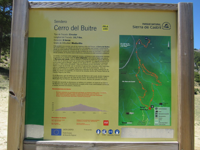
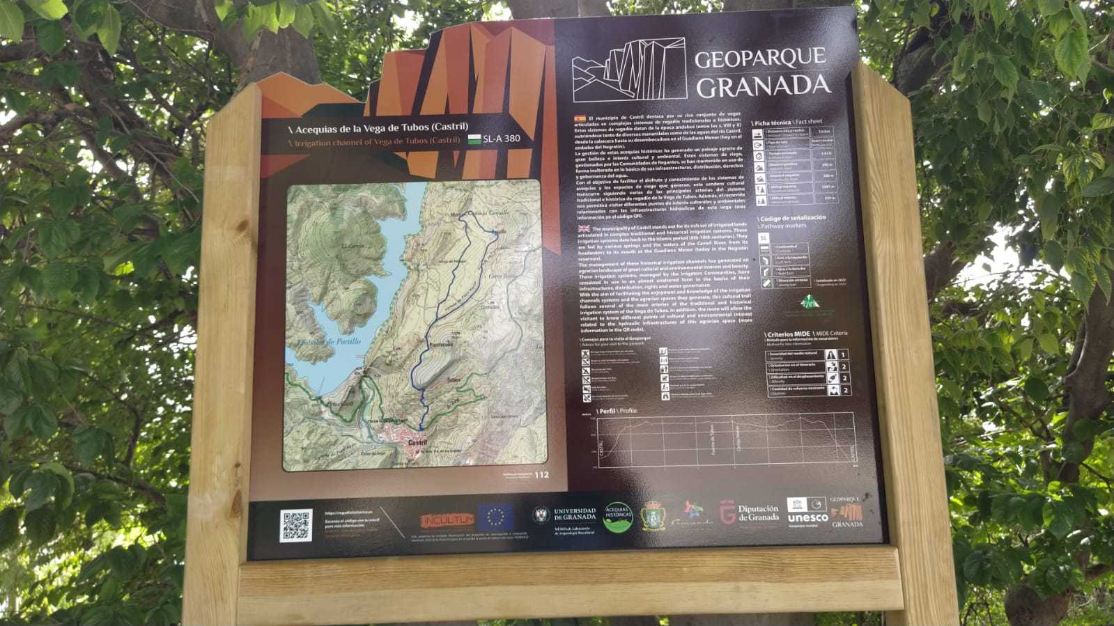
Type of Trail: Circular. Trail Status: Approved and signposted 2012. Total length: 10.7 km. Sections: 1 Accessibility: It can be done on foot. Download Brochure
Itineraries
Services and infrastructure
Target audiences
Segments
Season
You may be interested
