Villanueva del Trabuco
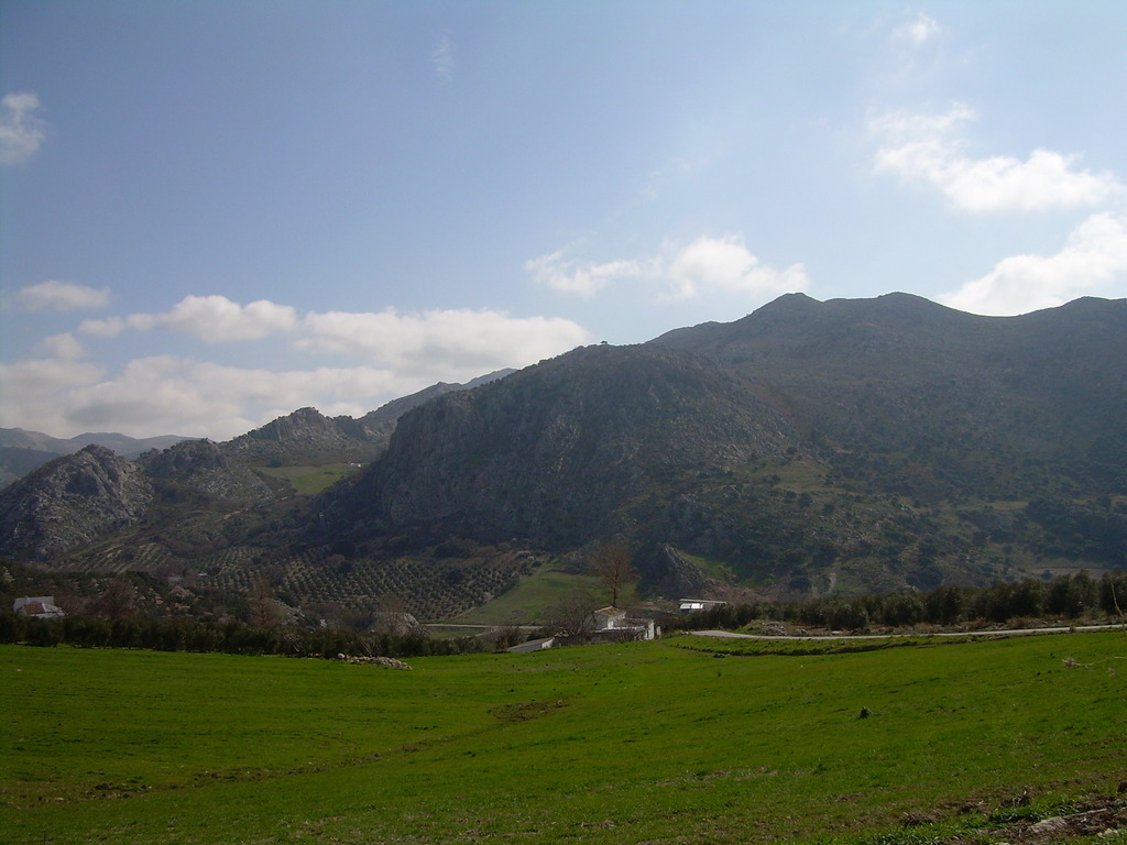
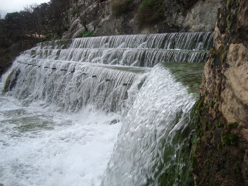
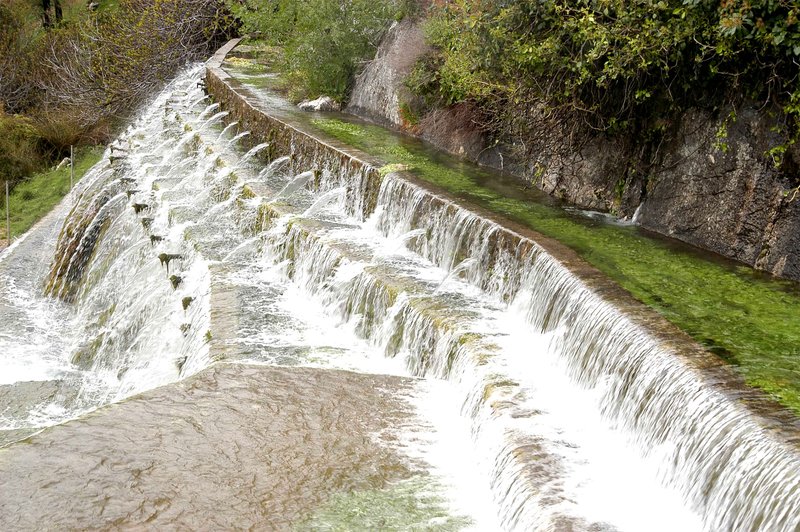
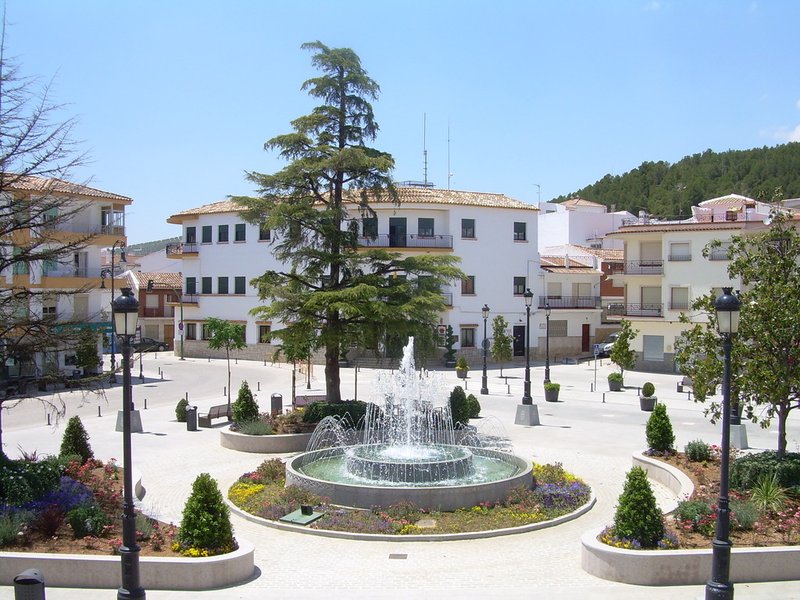
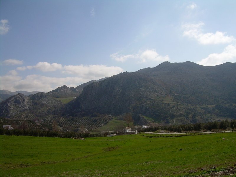
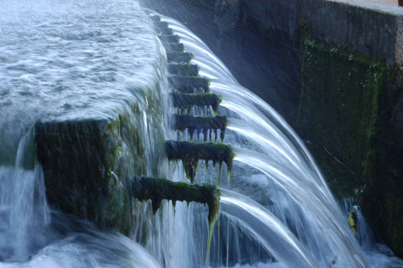
Located at the foot of the Gorda and San Jorge Sierras, near the Malaga Mountains; its landscape is both beautiful and spectacular, boasting a wide range of vegetation, colours and shades. The River Guadalhorce is formed here, by the confluence of streams from the mountains whose waters are the source of a number of springs such as the one known as Cien Caños, an interesting spot to spend a day in the country.
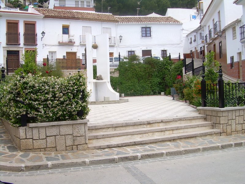
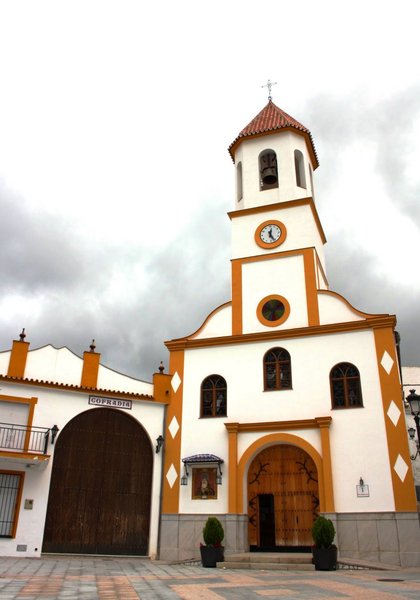
The village was founded as a result of Charles III"s repopulation plan; its only monument of interest, the parish church, was built in the same period.
History
There are five municipal districts in the province of Malaga called “Villanueva”, and they are Villanueva de Algaidas, Villanueva de Tapia, Villanueva del Rosario, Villanueva del Trabuco and Villanueva de la Concepción, and this last one is the only one known as “Villanueva “or “pueblecillo”. All five are located in the north east of the province, the first two are further north and located between the districts of Cuevas de San Marcos and Archidona, bordering to the east with the province of Granada; Villanueva del Rosario and Villanueva del Trabuco are in the north of the Axarquia region also bordering with the district of Archidona and the province of Granada The last one is located at the foot of the El Torcal mountain range.
These five municipal districts have an almost simultaneous origin, which took place in the 18th century and was largely the result of the orders given by Carlos III aimed at repopulating the territory of Andalusia which was very sparsely populated and often served as a refuge and hideout place for bandits.
Nevertheless, the history of these municipal districts and that of the other towns in the surrounding area dates back to much more remote times, and archaeological remains from the Prehistoric period have been found.


