Ugíjar
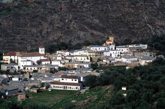
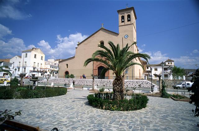
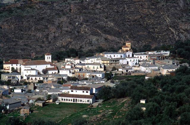
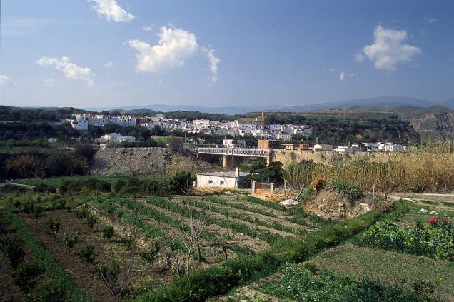
Located to the east of the Upper Alpujarra in Granada, to the Alpujarra in Almería, in the valley watered by the river Nechite, Ugijar was described by a Swiss writer as a place that "will provide an unforgettable memory to those who love and understand the language of stones, of houses full of history and of a village whose soul carries nostalgia of a mythical past".
This municipality also consists of two other interesting localities: Cherín, which in the Middle ages had a fortress called "El Castillejo", and Jorairátar, an old farmhouse area of Arab origin.
History
The name of this town seems to derive from the Roman terms hortum sacrum, meaning "sacred garden".
Town of deep Moorish roots, it was the capital of the Nasrid Taha de Ugíjar and had a flourishing industry of materials. There are records of it in the chronicles by al-Udri (11th century), al-Idrisi (12th century), and al-Jatib (14th century).
It became a town in 1493, when Boabdil was still Lord of the Alpujarra.

- Max 9
- Min 7
- Max 48
- Min 44
- °C
- °F

