Ubrique
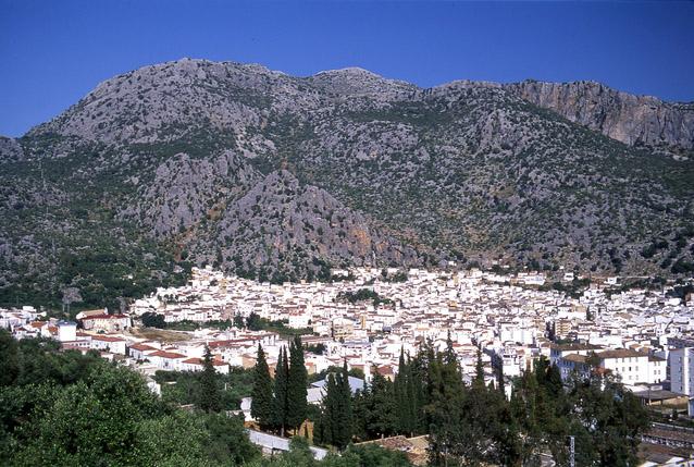
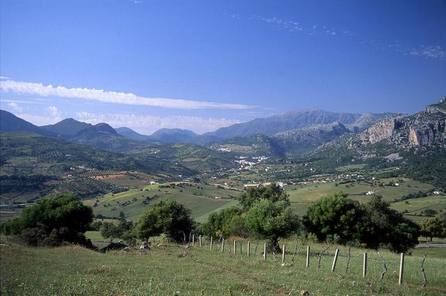
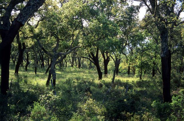
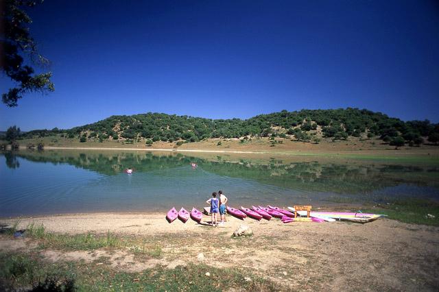
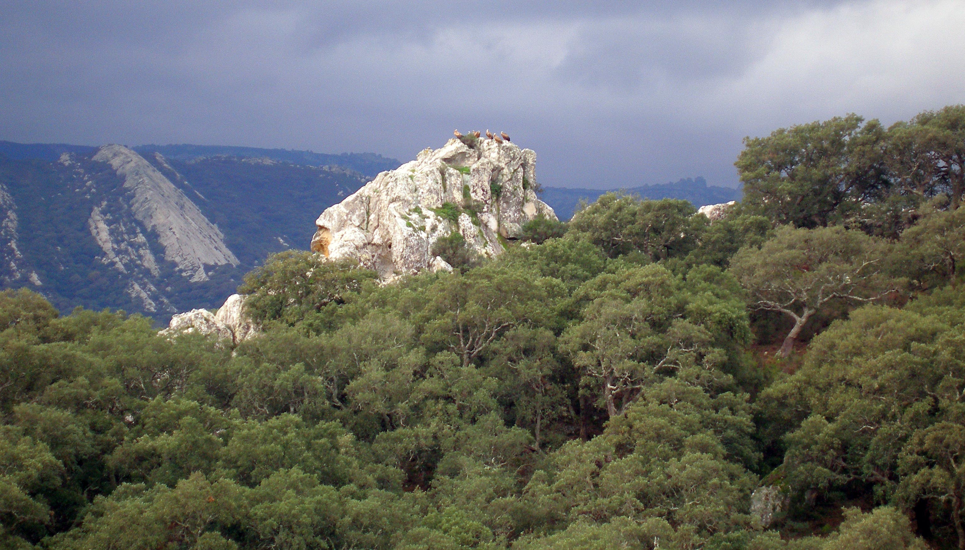
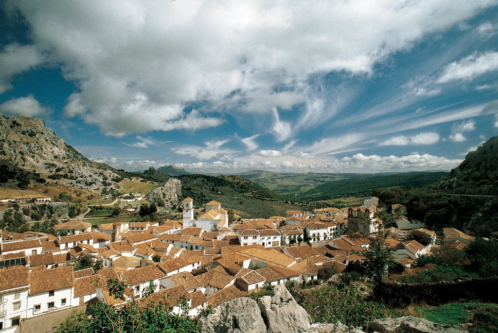
Ubrique's municipal area is located between the mountain ranges of the north and the Campo de Gibraltar region. Its relief consists primarily of hills, mountains and pastures. Parts of the village belong to Los Alcornocales Natural Park, while others lie within the boundaries of Sierra de Grazalema Natural Park.
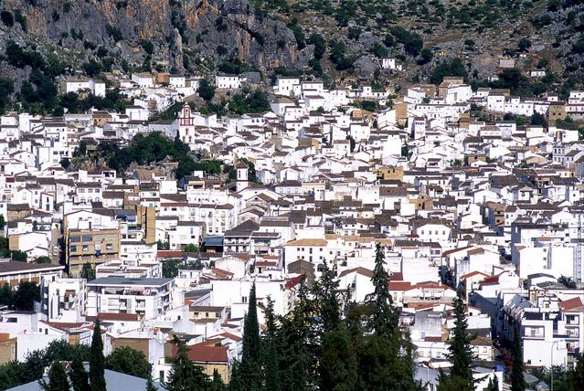
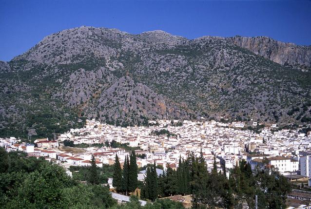
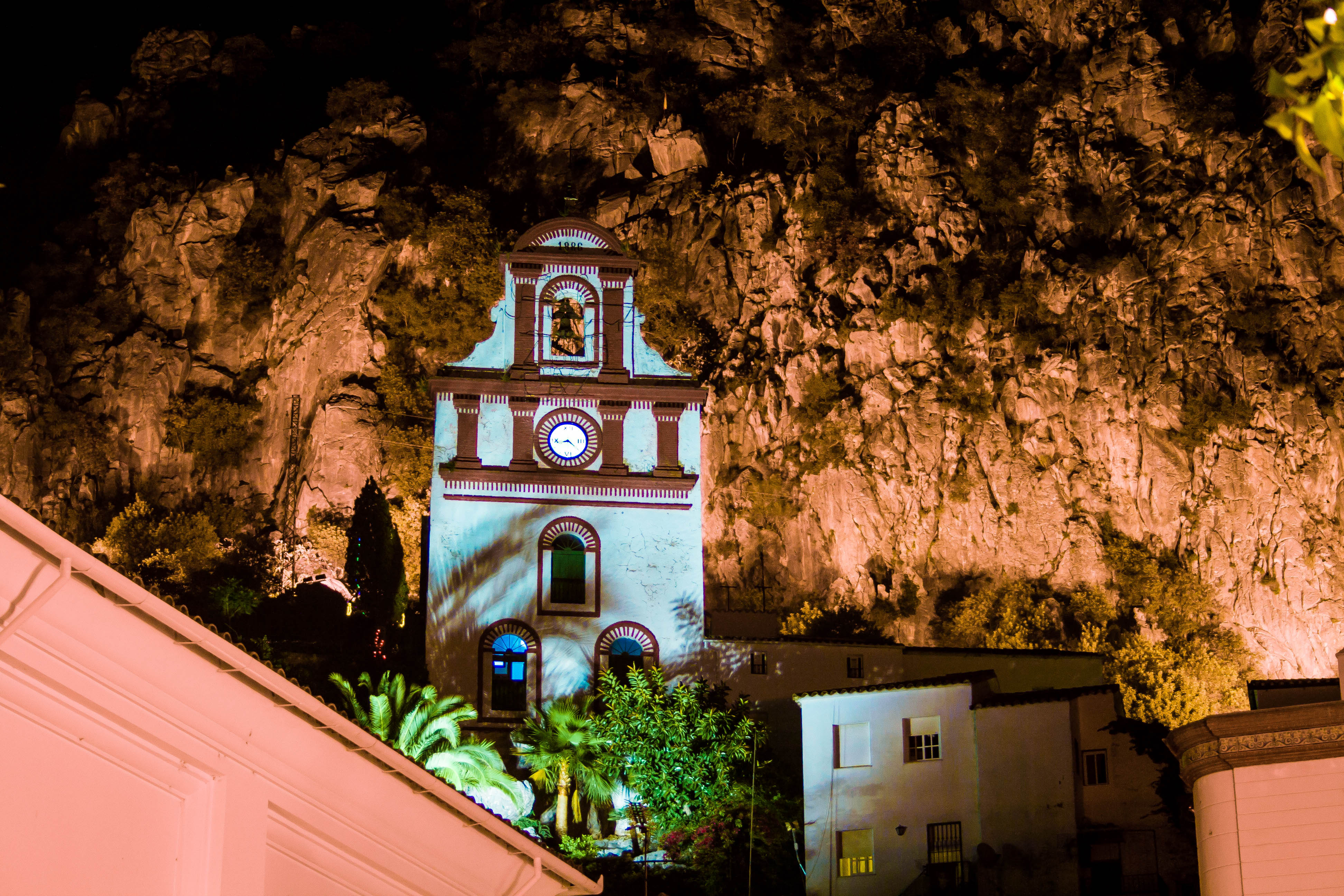
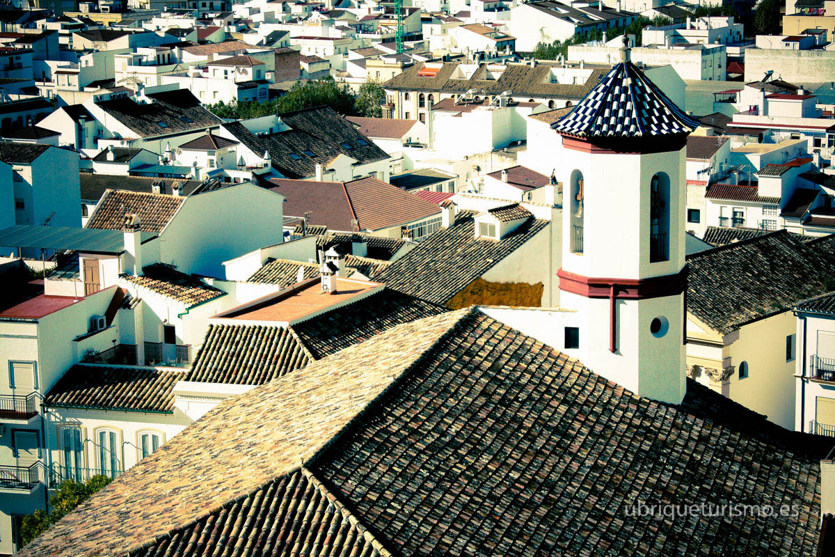
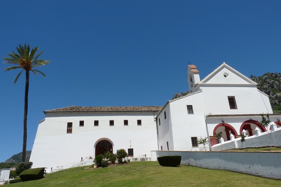
The origins of the village date back to the Christian reconquest, though it was previously the site of an important Roman town. It stands in the bed of a stream at the foot of the mountains, displaying the typical appearance of the white villages, and boasts a number of places of interest, such as the Roman Ruins, Saint Anthony's Church, the Capuchin Convent and Cardela Castle.
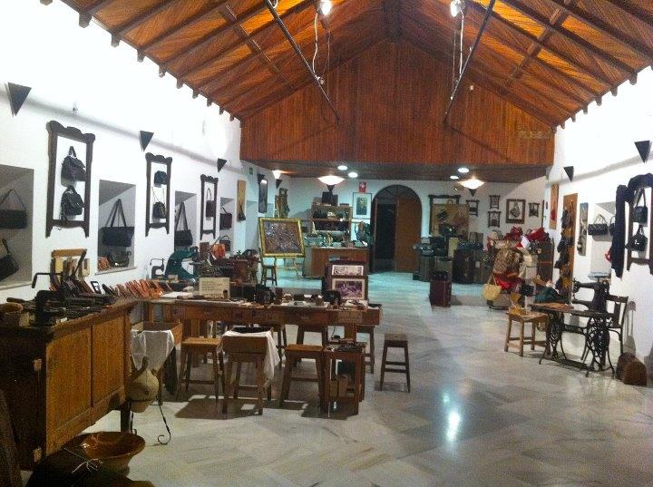
Ubrique is one of the leading production centres for leather goods, yet another reason for tourists to visit the village.
History
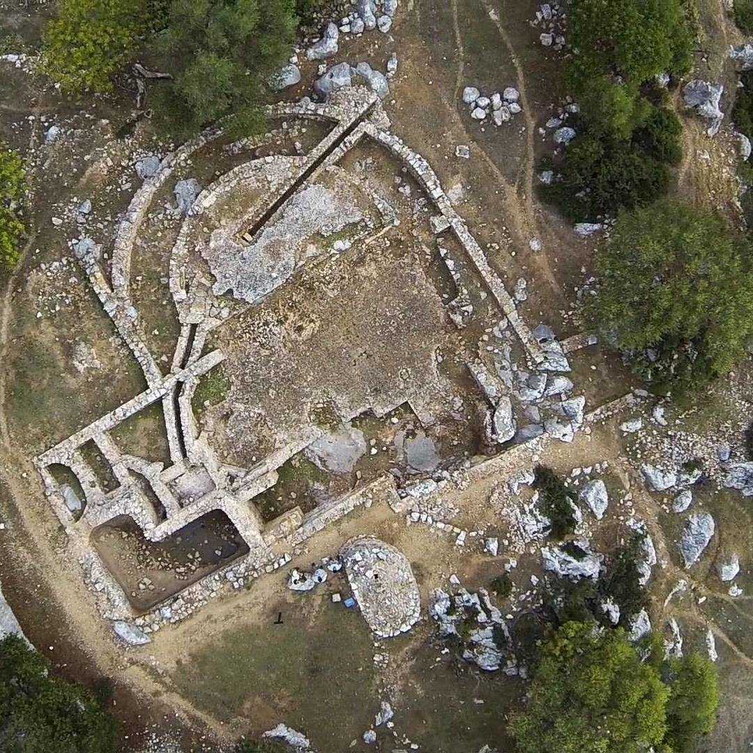
Close by, at El Salto de la Mora, lie the ruins of the old Roman town of Ocurris, which reached the peak of its fortunes in the 2nd century.
During the Moslem period, the fortress of Cardala, now known as Fatima Castle, was built.
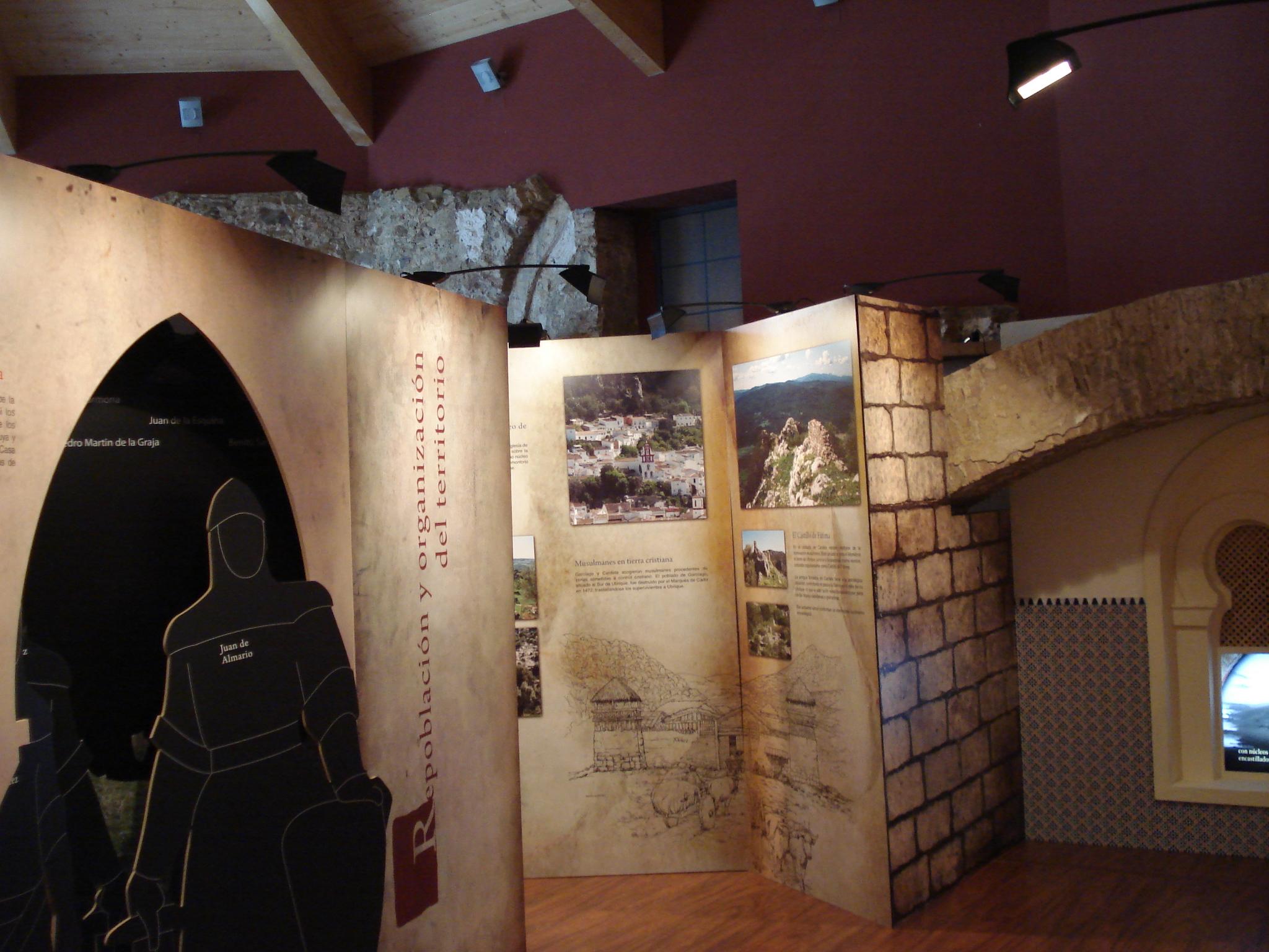
The Arabs called the village Umrica, and it was the site of a resounding defeat for Christian troops, the Rout of Ubrique (1432), at the hands of the Nazaries of Granada. When Ronda was conquered by the soldiers of the Catholic Monarchs (1485), Ubrique and the other mountain villages met the same fate.
In the 17th century, the first leather factories were set up, continuing the traditional methods of crafting leather goods left behind by the Moslems; today, this industry is the driving force behind the village's economy.


