
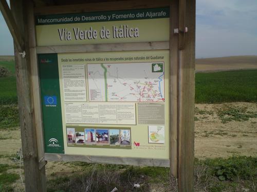
Vía Verde of Itálica
From the immortal ruins of Itálica to the restored natural sites of the Guadiamar. A route dotted with remains and treasures
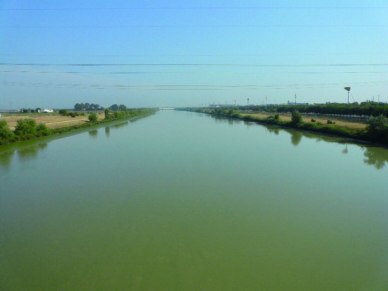
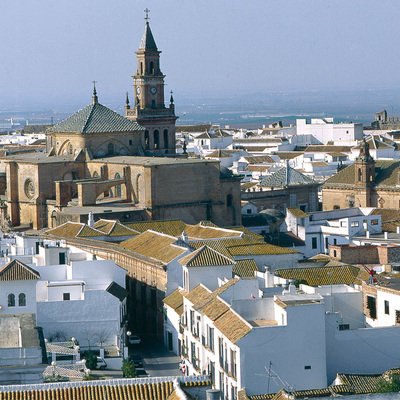
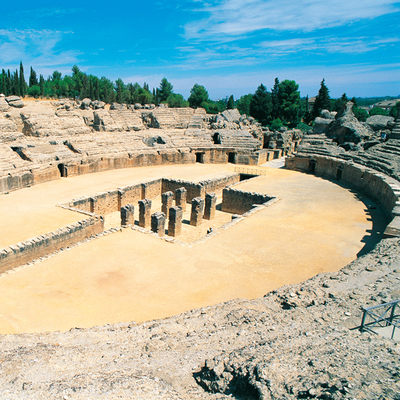
It stretches along the old railway line that once linked Aznalcóllar with San Juan de Aznalfarache, the most eastern railway of all that were built in the Faja Pyritous of the Iberian southwest, which mainly transported minerals from the mines in the area to the “Gordales” jetty on the Guadalquivir River, passing by the village of Santiponce, where you can see the remains of the Roman city of Itálica.
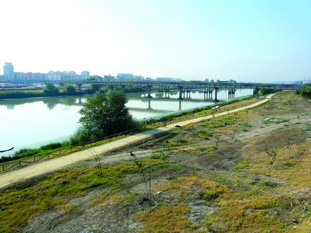
The origin of the Vía Verde de Itálica is on the Isla de la Cartuja island in Seville with a 2 km stretch that has been fully conditioned until reaching Camas. The Vía Verde then continues until reaching the vicinity of the Cochera de Máquinas de Camas in the valley on the right bank of the Guadalquivir River, towards Santiponce, crossing the foothills of the northeast corner of the cornice of Aljarafe entering the steppe countryside known as Campo de Gerena crossing all the way through to the west.
After crossing the Guadiamar River valley, go north towards the scenic transition landscape of the mountain meadow of the valley of the Agrio River, ending in the foothills of the Sierra Morena mountain after crossing the bridge over the Los Frailes stream on the outskirts of the town of Aznalcóllar. The track from the section between the Camas and El Muelle de Los Gordales has completely disappeared, as well as the section that ran from the Bolidén mines to Aznalcóllar.
At present, the Vía Verde de Itálica forms a natural axis of alternative communications for the metropolitan traffic. It links central Aljarafe with northern Aljarafe, an unknown, deserted territory that has little to do with Aljarafe, passing through landscapes full of history, where lovers of history and archaeology can visit the Archaeological Site of the Roman city of Itálica, which has lent its name to the vía in Santiponce, the Historic Site of Seville. Dólmenes de Valencina. Mines and the Aznalcóllar castle. Torreón de San Antonio. Visigoth necropolis and Mudejar church in Gerena.
Managing Body: Federation for the Development and Promotion of Aljarafe
Itineraries


Services and infrastructure
Target audiences
Segments
Specialties
Season


EXPLORE ANDALUSIA
EXPERIENCES


