Vereda de Córdoba-Alcolea Trail - PR-A 53
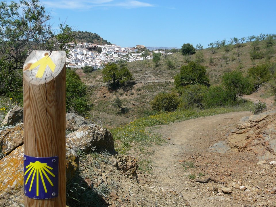
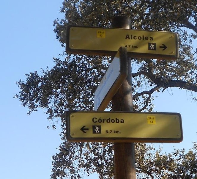
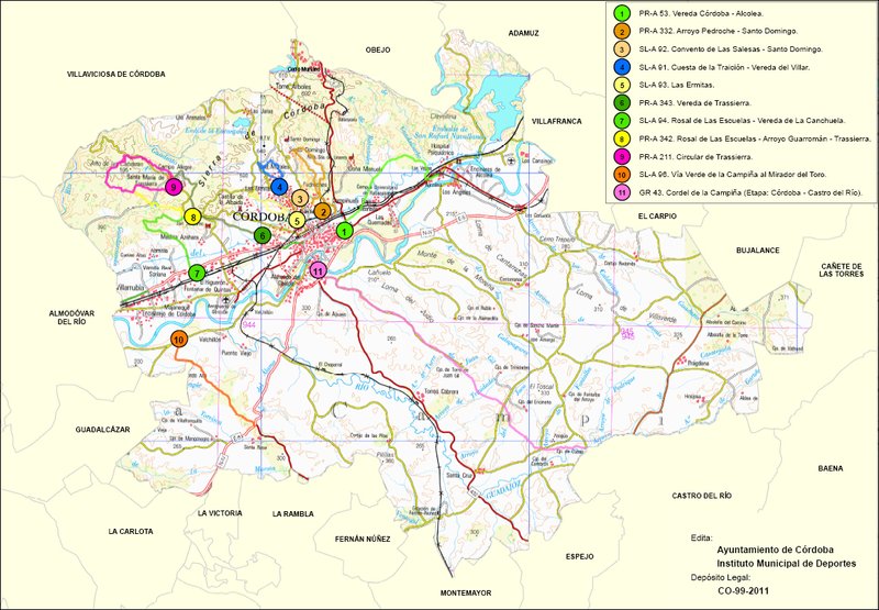
The Vereda de Córdoba-Alcolea Trail - PR-A 53 connects the city of Cordoba with La Barriada de Alcolea, along the Vereda de la Alcaidía and then along the Vereda de Linares, on comfortable and practically flat tracks, which travel along the border between the plains of the Guadalquivir and the foothills of the Sierra Morena Mountains.
We leave the Barriada de Fátima, walk along a tarmac road that runs below the by-pass heading towards the plots of the Campiñuela Baja.
After walking about 2 km, we will cross over the train tracks, leaving the road behind and continue our route along a stretch of the Vereda de la Alcaidía, which has been adapted to improve communications between Cordoba and the Rabanales University Campus, becoming one of the city's “green gates". This route is used by a sector of the university group for occasionally or habitually cycling to the campus.
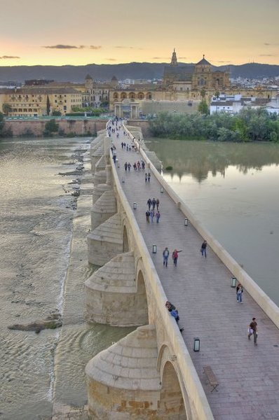
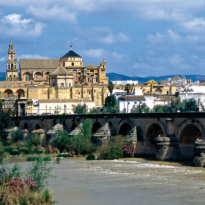
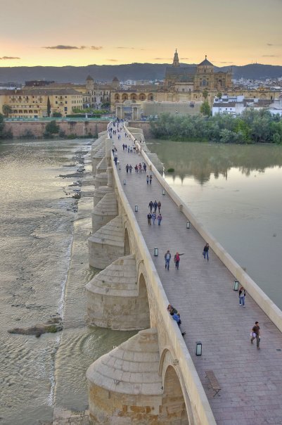
We walk 1.6 km to cross the Guadalmellato irrigation canal, where we have to follow the canal's service route to reach the campus. However, our route continues by crossing the Rabanales River via the Los Piconeros Bridge, dating back to Roman times, where we can enjoy a setting that is completely different to the surrounding area and is of high value due to its flora and fauna, as we find species here of fish such as the barbel and Iberian loach, invertebrates such as the praying mantis or the invasive American red swamp crayfish, and birds such as the song thrush, the Sardinian warbler and the robin.
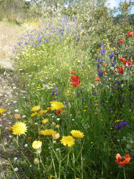
Amongst the most noteworthy plant life around the river are elms, fig trees, blackberry bushes and oleanders. In addition to the aforementioned birds, along the way, we will see white storks that nest in the vicinity, cattle egrets amongst the livestock, finches eating seeds, kestrels flying, owls perched in the oak trees, partridges in the grasses and larks right on the trail. The path continues along the Campiñuela Alta, by a marvellous holm oak dehesa with some specimens of carob trees, wild olive trees and cork trees interspersed.
Here there are small green signposts indicating that it is a cattle path, which is why we can go through the gates we find along the way.
So we reach the Arroyo de la Cuesta de la Lancha, where we leave the Vereda de la Alcaidía, which goes up to the mountains along the Cañada de la Víbora, and we continue around the foothills along the Vereda de Linares.
About 700 metres away, we will find the Cortijo de Román Pérez Bajo and, following the lands of Montoncillo, we will leave the road and continue along a 600-metre-long footpath that will bring us to the Psychiatric Hospital. We will go down the tarmac road, very carefully, and we turn off at a roundabout for a minute to see the Roman bridge that lies over the Guadalbarbo River, declared a significant asset.
We continue along the edge or hard-shoulder of the tarmac road towards the bridge over the train tracks and then we pass under the old N-IV road through a tunnel, to reach the main avenue of the Barriada de Alcolea.
Type of Trail: Linear. Trail Status: Approved and signposted 2010. Total Length: 11 Km (one way) Stages: 1 Accessibility: It can be done on foot. Download Brochure
Itineraries
Services and infrastructure
Target audiences
Segments
Season
You may be interested
