Linares de la Sierra – Galaroza Trail - PR-A 38
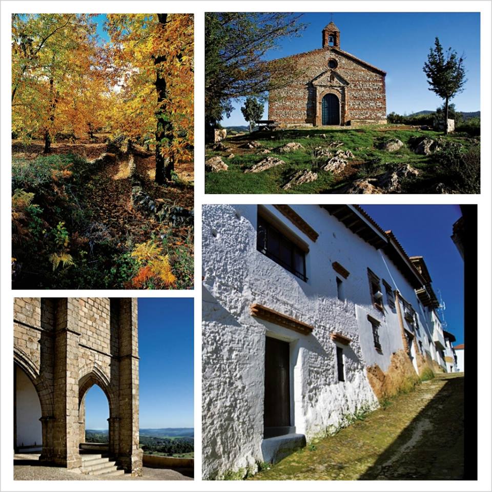
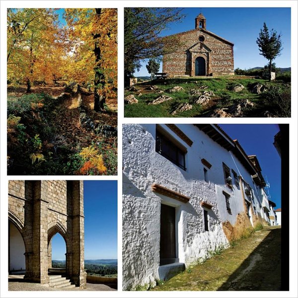
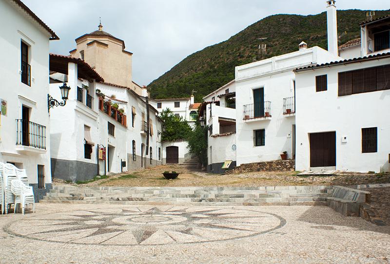
The Linares de la Sierra – Galaroza Trail - PR-A 38 leaves from the Calle Azahar in Linares de la Sierra heading towards the area known as Marilozana, it crosses the southern foothills of the Caracol and passes through the village of Los Madroñeros (Alájar), then continues towards the northwest along a paved path towards Alájar, entering this town via El Nogalejo. It crosses the town and leaves via the street located opposite the old school house.
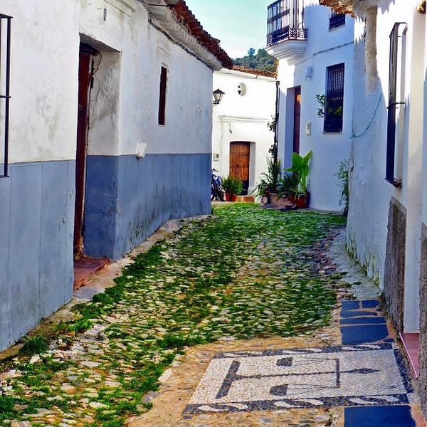
It then continues on to the village of El Collado and then takes the track to the village of El Cabezuelo, both belonging to the municipality of Alájar. It continues towards the west and crosses the Santa Ana stream bed, passes through the village of La Presa and enters Santa Ana la Real through the wash houses, we come out onto the road from Alájar to Santa Ana which we cross taking a narrow street that climbs upwards.
Then the path starts to descend and turns to the right through a narrow street that descends sharply. We reach a crossroads and turn left, crossing a bridge. We continue to climb up the Boqueta until we reach Los Llanazos. The track starts to descend and enters Castaño del Robledo via the cemetery.
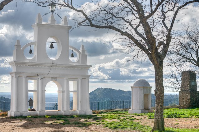
We pass through the town and leave via the "Barrio del Calvario" (District of the Calvary) take the path from Cortegana to Castaño. We go down to the Múrtiga riverside, cross over and continue on towards the right. We soon turn to the right again, next to a house, cross the riverbed again and carry on alongside it until we reach Galaroza.
Type of Trail: Linear Trail Status: Approved and Signposted 1994. Total Distance: 24 Km (one way) Legs: 1 Accessibility: Suitable for walking, horseback and mountain bike. Download Brochure

