
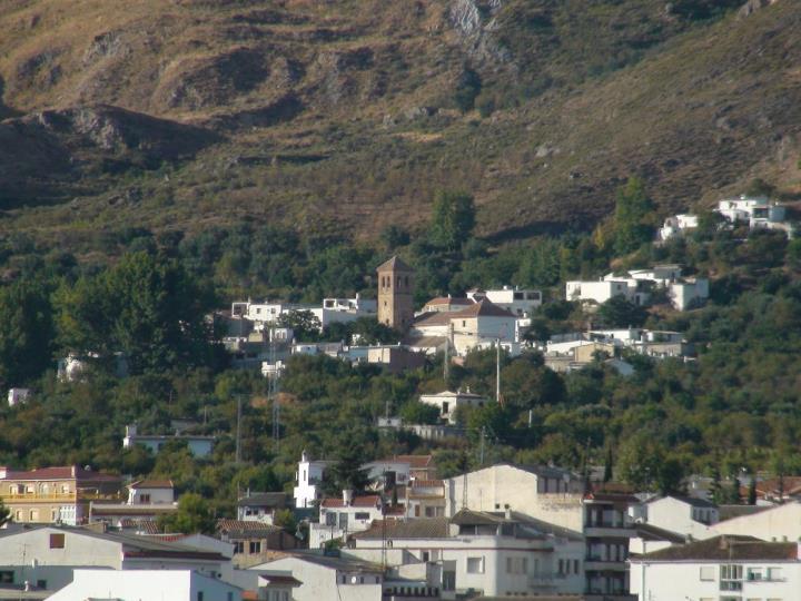
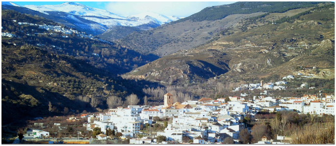
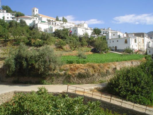
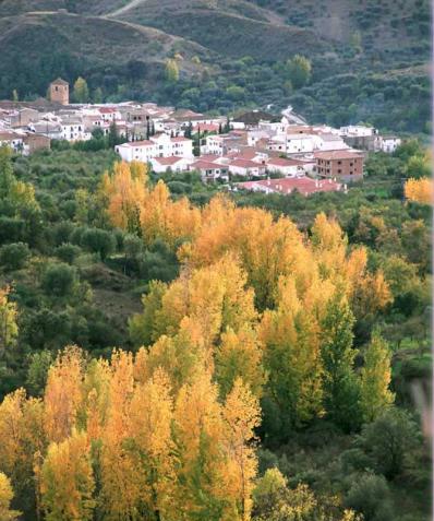
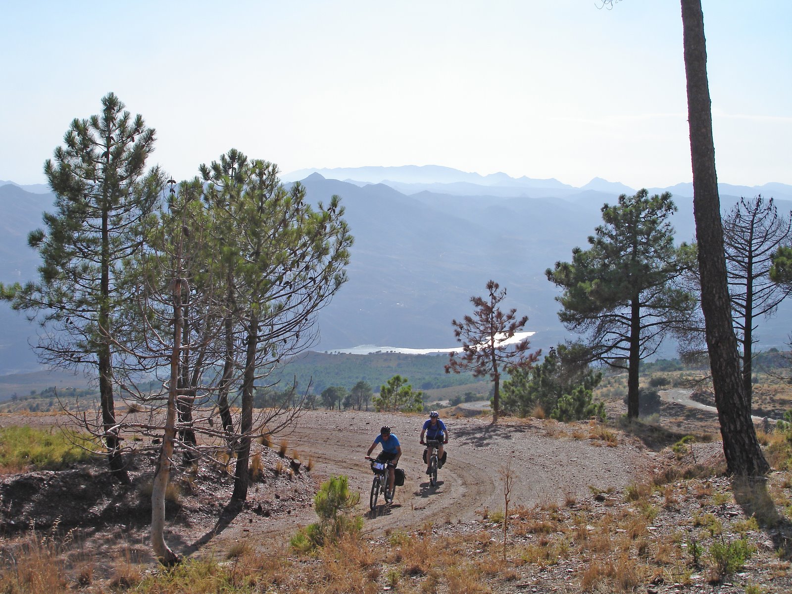
Cádiar - Mecina Bombarón - 25 PR-A Trail

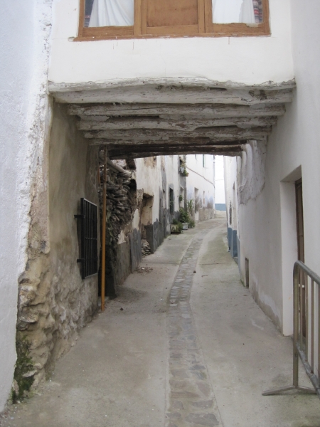
The Cádiar - Mecina Bombarón - PR-A 25 Trail starts in Cádiar. On the path known as Camino del Cementerio, we head east and then uphill to the north. This is a cattle track known as "Vereda de Cádiar", unpaved, which continues a hill called towards Cerro de la Tinaja, before crossing the road at Yátor-Cádiar junction.
The path continues for another kilometre along the cattle trail and then up towards the mountains via a path called Camino de Mecina Bombarón. It enters the municipality at Yátor riverbed, then crosses the road to Golco. Then, by way of a paved path, we carry on up to Mecina Bombarón.
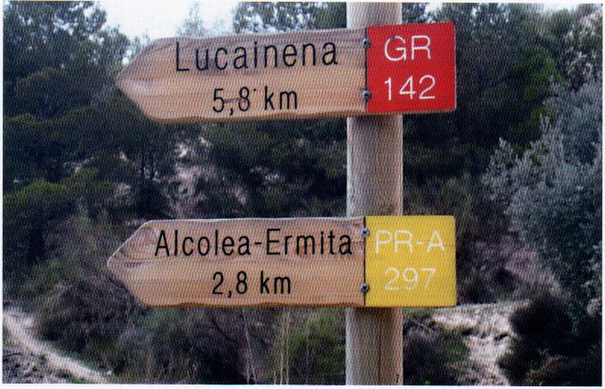
In Cádiar, the PR-A 25, trail joins up with two major trails that cross the south face of the Sierra Nevada: the GR 7 trail that enters the Alpujarra region through La Ragua pass, passes by the towns at the greatest altitude and leads southwest; and the GR 142 - Senda de la Alpujarra trail, which is more to the south and passes through most of the Alpujarra region via the provinces of Granada and Almería.
Type of Trail: Linear. Trail Status: Approved and signposted 2001. Total length: 6.2 km. Sections: 1 Accessibility: It can be done on foot. Download Brochure
Itineraries
Services and infrastructure
Target audiences
Segments
Season
You may be interested
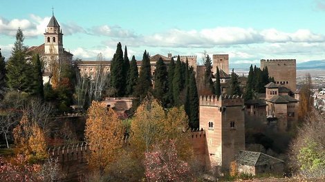

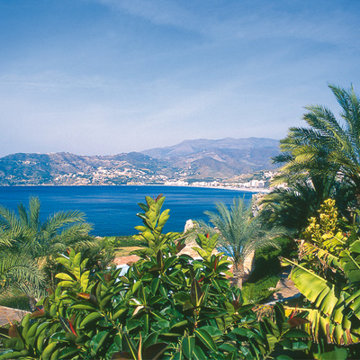
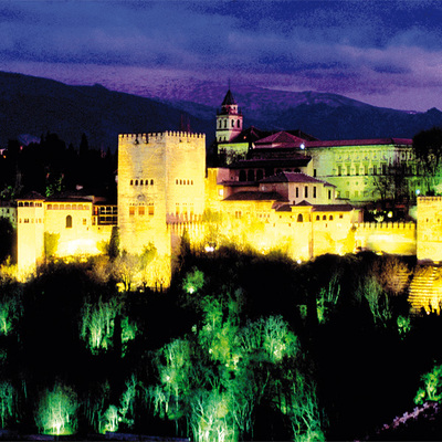


EXPLORE ANDALUSIA
EXPERIENCES


