
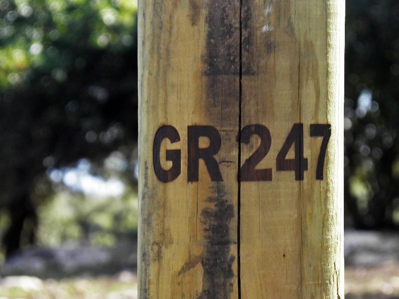
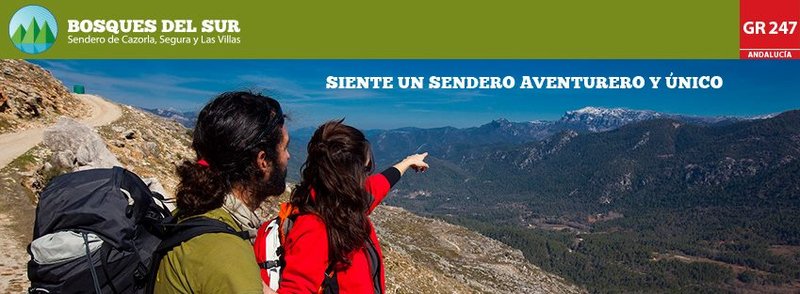
Bosques del Sur Trail - GR 247
Bosques del Sur, the Grand Trail of the Sierras de Cazorla, Segura and Las Villas.
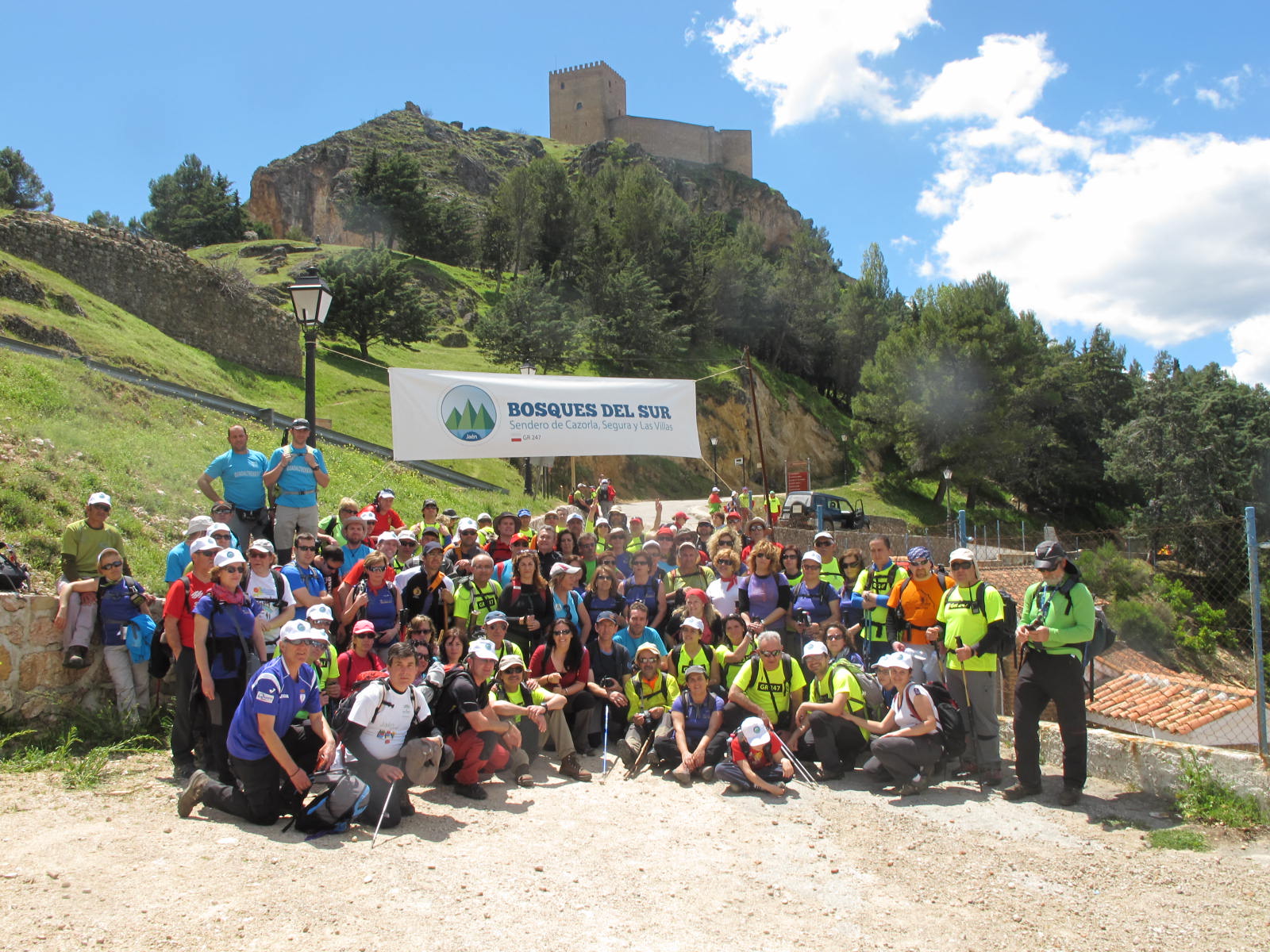
The Bosques del Sur Trail - GR 247 is the largest circular trail, that connects emblematic areas of this Biosphere Reserve located in the northeast of the province of Jaén.
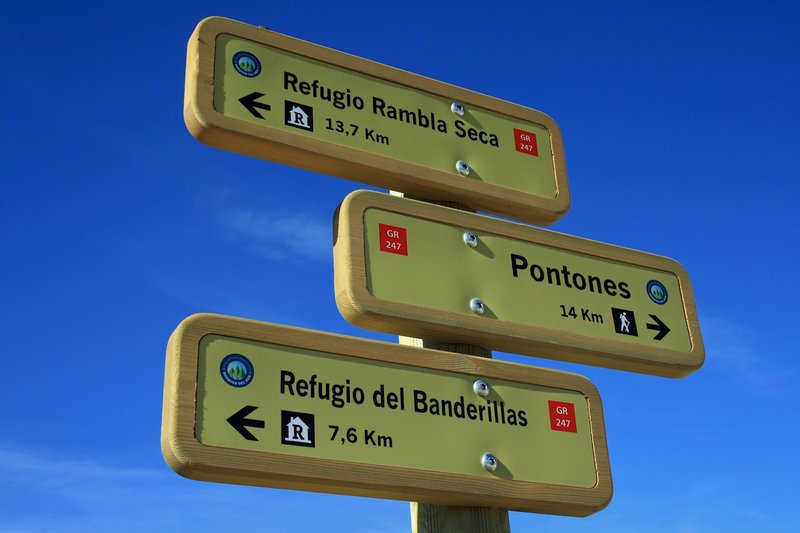
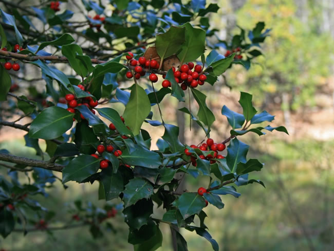
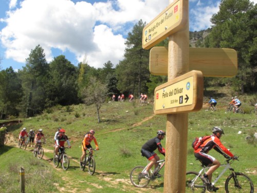
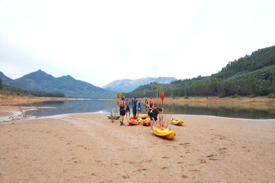
A unique opportunity to discover in great detail not only its flora and fauna, but also its towns and villages, its cuisine and its people, in the largest natural space of Spain, the Nature Reserve of Cazorla, Segura and Las Villas. It offers 478 signposted kilometres throughout 21 main stages and 11 bypass routes. It also has 3 optional paths, each with two sections, - identified with a “v” on the map - to help you subdivide the route and make one that is adapted to your interests and the time available to do the walk.
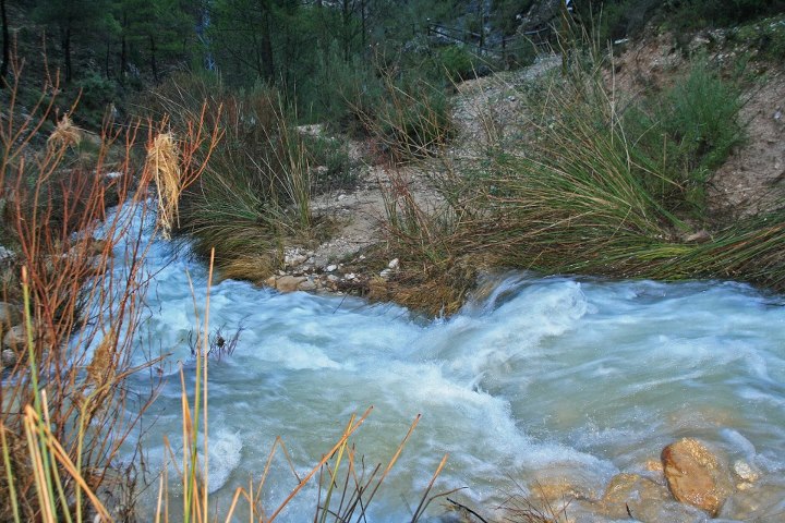
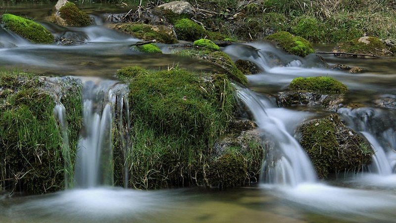
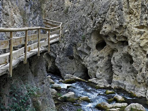
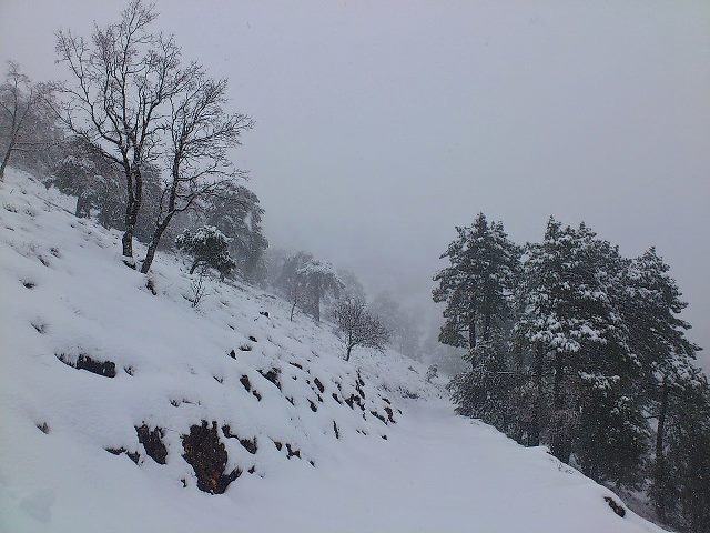
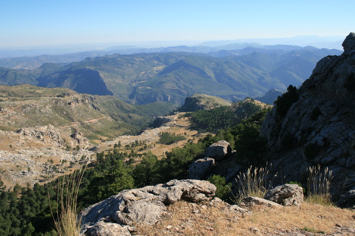
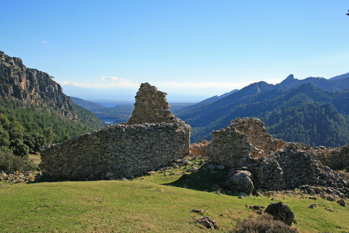
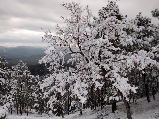
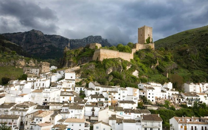
The trail will take you to the sources of the Guadalquivir and Segura rivers, and you can explore the mosaic of landscapes of these mountains: high mountain peaks, castles, forests, rivers and waterfalls, traditional paths, plateaus, towns and villages that are still inhabited, historic areas, olive orchard groves.
A great route to discover the flight of the bearded vulture, the cleanest waters, conversation with the wandering shepherds, the way of life in the mountain villages…, a collection of experiences and the authenticity of the largest mountains of Andalusia await you along this path.
The landscapes filled with memory are waiting for the steps and the look of complicity of walkers in one of the most interesting nature areas in southern Europe.
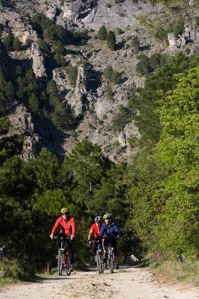
Type of Trail: Circular. Trail Status: Approved and Signposted 2012. Total Length: 478 km. Sections: 21 Stages, 11 Bypass Routes and 3 Alternative Routes. Accessibility: Suitable for walking and, except for some sections, horseback or mountain bike. Topographic Guide:advance of content of the GR-247 Topographic Guide.
Itineraries

Services and infrastructure
Target audiences
Segments
Season


EXPLORE ANDALUSIA
EXPERIENCES


