IE-021 El Puerto de Santa María–Jerez de la Frontera
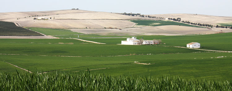
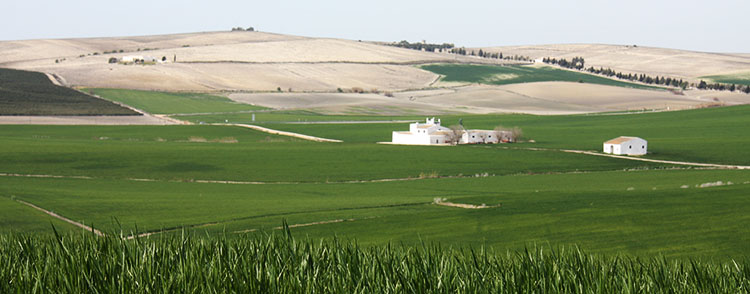
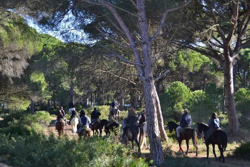
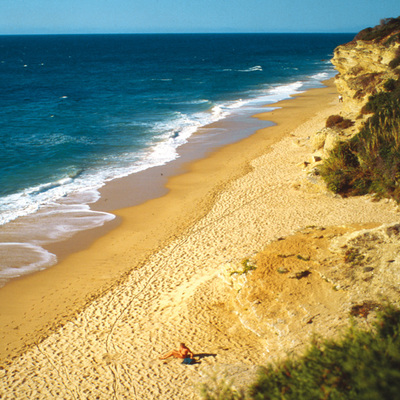
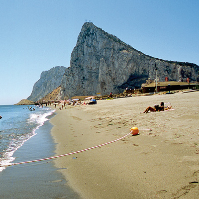
The IE-021 Puerto de Santa María–Jerez de la Frontera crosses an area of great scenic value, the marshes of El Puerto de Santa María and some of the best beaches in Andalusia. The route connects El Puerto de Santa María and Jerez de la Frontera across the countryside.
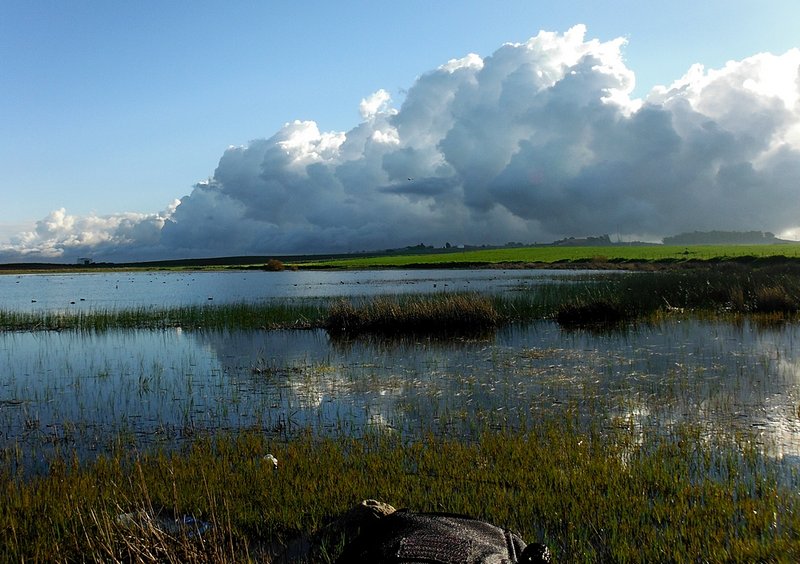
At an international level, the Jerez countryside is known due to its Designation of Origin wine, which can be tasted on the Jerez Region, but also due to its natural wealth, because it is irrigated by the Guadalete river and features some wetlands, such as the Lagunas (Wetlands) of Medina and Torrox. The route partly goes through the hills belonging to the town of Jerez, which is the start of the Los Alcornocales natural park.
Route
The route starts at La Bahía, in the municipality of El Puerto de Santa María and, after a few kilometres, it comes to the nature reserve of the marshes of El Puerto de Santa María, wetlands formed by three lakes: Juncosa, Salada, to the northwest, and Chica.
Once past the lakes, the route continues along a track that first heads southeast and then north-east to the Cerro del Calahorra hill. Later, there is a change of direction towards the northwest along the Cañada de las Huertas–a livestock route qualified as "necessary" by the Council due to its level of usefulness. From that moment, the route is always inclined slightly eastwards.
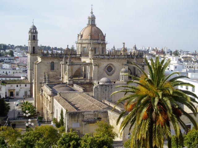
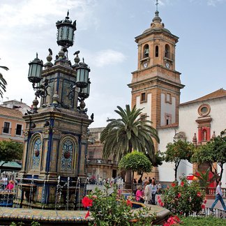
The route, now near Jerez de la Frontera, crosses the Barriada de la Polila and, finally, reaches its destination: the wine city, whose historic quarter is catalogued as a Place of Cultural Interest.
Type of Trail: Linear (two-way). Status of the Trail: Approved and signposted. Total length: 23.7 km. Starting point: El Puerto de Santa María. Finishing point: Jerez de la Frontera.

