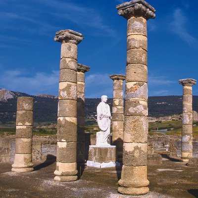
Geosendero de la Pizarrilla
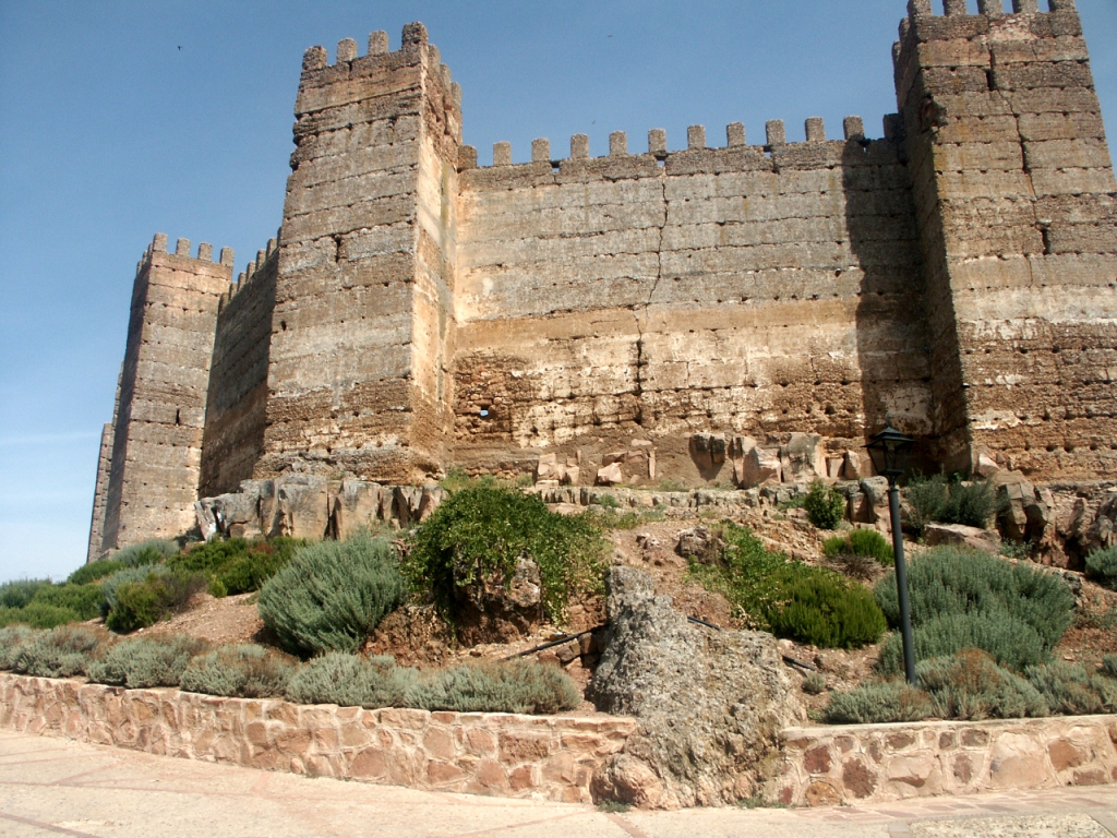
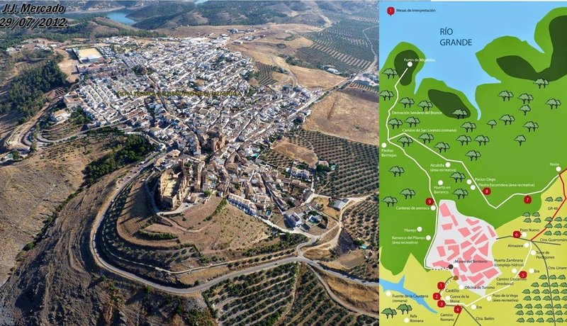
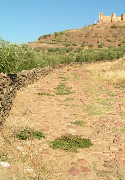
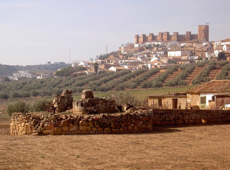
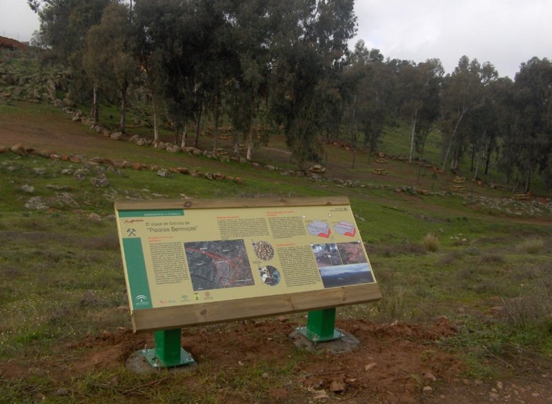
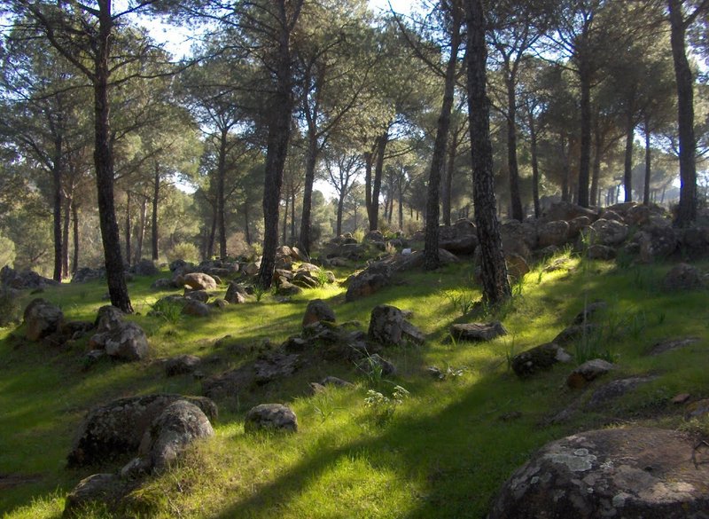
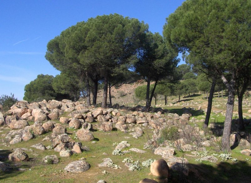
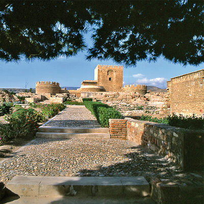
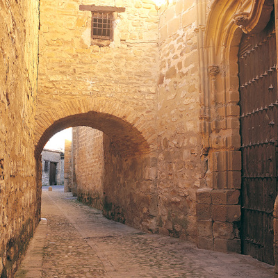
In the mountain town of Baños de la Encina, the Geosendero de la Pizarrilla offers a self-guided route through a peri-urban landscape, filled with opportunities for geological interpretation. As well as the geodiversity of the surroundings, seen in the variety of rocks, soils and landscapes, there is also an important ethnographic and monument-filled heritage, as the circular route passes through the outskirts of the town.
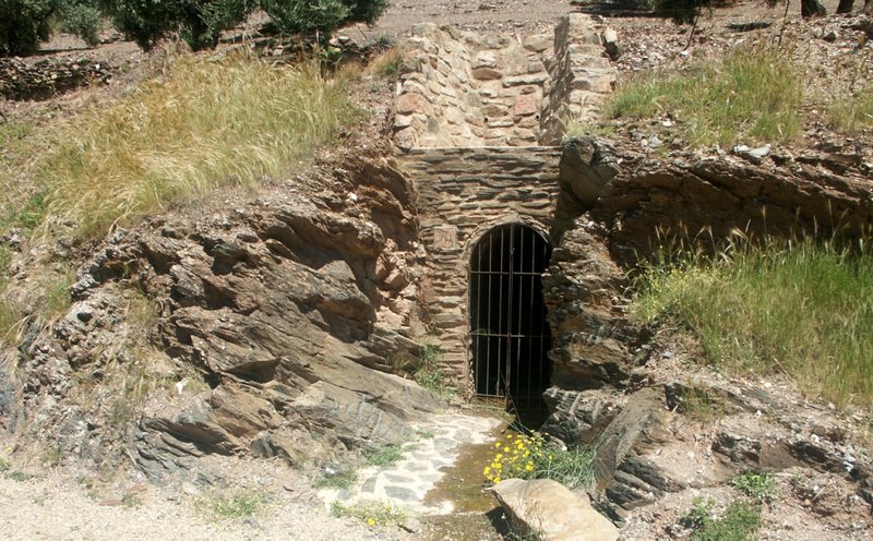
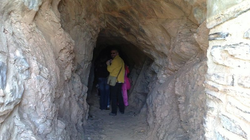
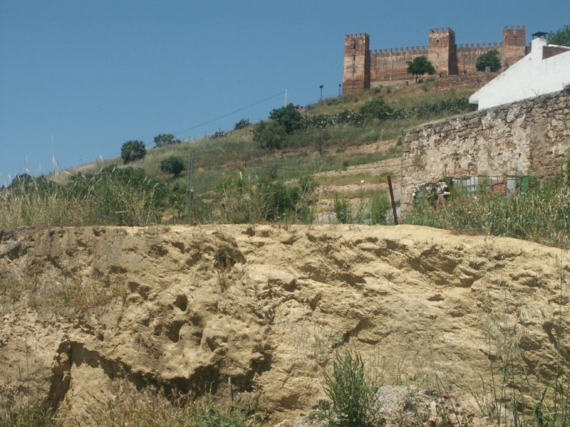
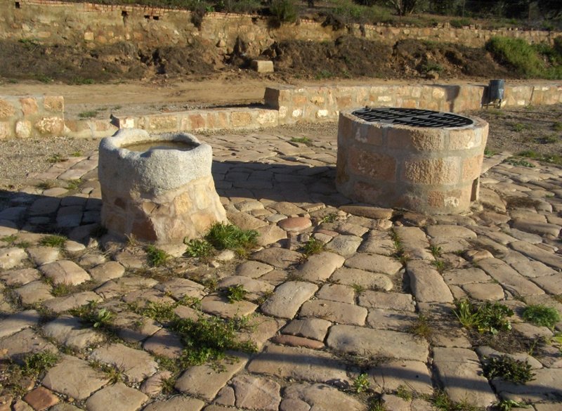
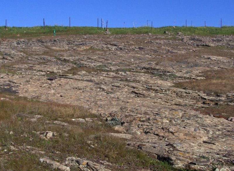
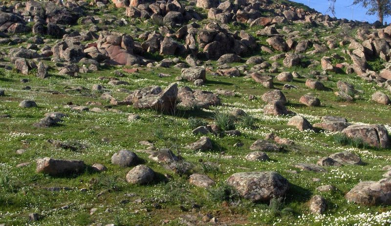
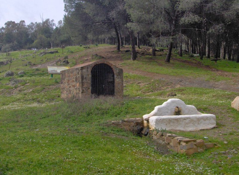
Travellers will find different geological structures, such as folds (in the slate), joints and faults; plutonic rocks (granite dyke), and interesting lithologic contacts, such as the meeting between the folded slate and the horizontal sandstone strata. But you will also find old ingenuities, such as wells and reservoirs that have now been made into beautiful spaces for the public; typical vegetable gardens and orchards… even a traditional pottery.
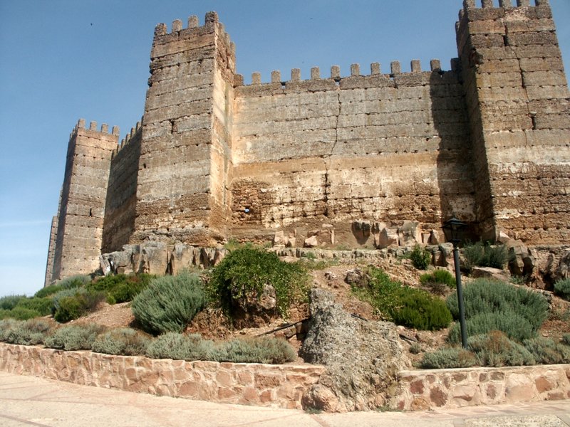
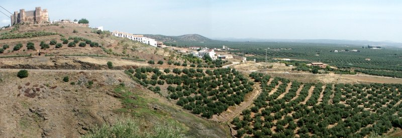
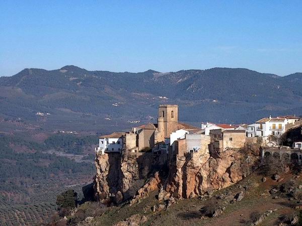
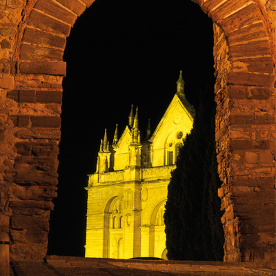
However, undoubtedly, one of the greatest assets of the Geosendero of the Pizarrilla is the diversity of its landscapes and the various panoramic views offered by the bañusco hamlet, declared a Historic and Artistic Site in 1969.
Download the Geosendero brochure: click here
Itineraries
Services and infrastructure
Target audiences
Segments
Season
You may be interested
