MTB centre Alcornocales

The Alcornocales Mountain Bike Centre is located in the town of Los Barrrios, south of the province of Cadiz and in the Campo de Gibraltar region.
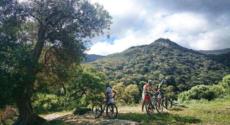
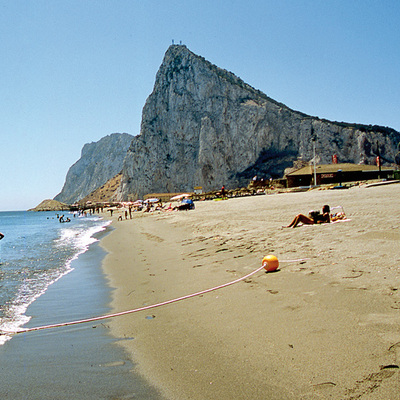
The natural surroundings of the centre are rustic and possesses a unique orography along the foothills of the southwest of the Betica Range, a step away from the Strait of Gibraltar and the nature parks of Los Alcornocales and Del Estrecho.
This centre offers all information needed on the routes through the self-guided route system and/or GPS waypoints, without any concerns about getting lost along the different routes proposed. Therefore, the only fixed signposts are located at the start points of the different routes comprising the network.
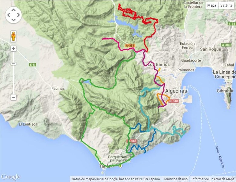
The Alcornocales Mountain Bike Centre itself is a network of 8 routes of varying difficulty that develop a total length of 436.67 kilometres and take a positive accumulated ascent of 8,352 metres. It reaches its maximum height at 837 metres and the lowest level of 0 metres above sea level.
Technical Sheet of the Alcornocales MTB Centre: ROUTES Route length Departure point Accum. incline + Route type Difficulty 1 - GUADALMESÍ 83.88 km. Montera Plaza 1,747 m. Circular Difficult 2 - CALA ARENAS 82.01 km. Montera Plaza 1,706 m. Linear Difficult 3 - REJONOSA - MONTE DE LA TORRE 22.62 km. Montera Plaza 392 m. Circular Very Difficult 4 - CORREDOR VERDE 16.68 km. Montera Plaza 75 m. Circular Easy 5 - MONTECOCHE 60.00 km. Venta El Frenazo 1,449 m. Circular Difficult 6 - RÍO DE LA MIEL 37.34 km. Venta El Frenazo 323 m. Linear Average 7 - GRAN SUR 101.20 km. Venta El Frenazo 1,835 m. Circular Very Difficult 8 - MONTERA - VALDEINFIERNO 23.00 km. Venta El Frenazo 439 m. Linear Average The routes of Alcornocales MTB Centre have two departure points: Montera Plaza departure point, at Avenida Carlos Cano s/n. Los Barrios. El Frenazo departure point - Autovía A381 (Los Barrios-Jerez), exit 80. Service station. Los Barrios. Both departure points are connected by route 4, which links them directly. Route Map

