
Source of the Segura River
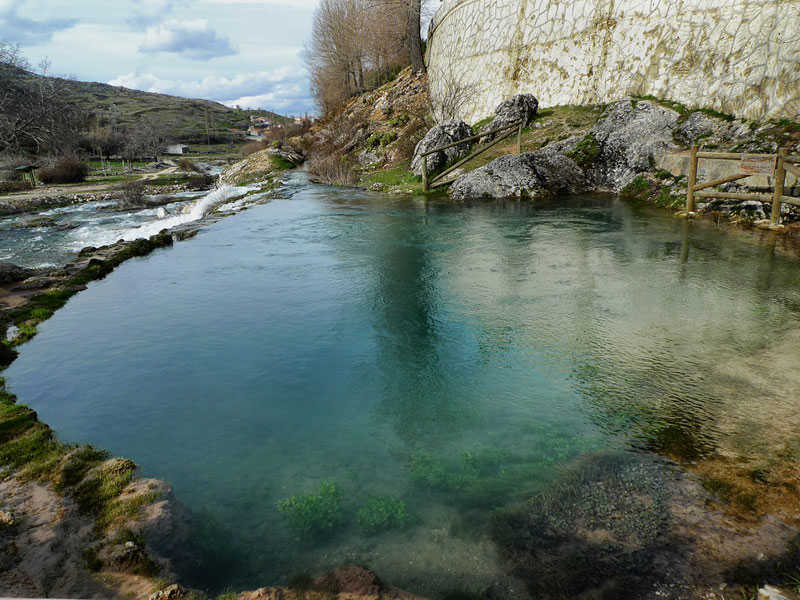
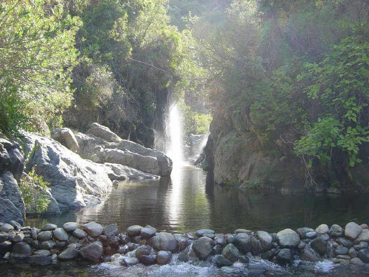
Very near the town of Pontón Bajo, in beautiful surroundings about five kilometres from the town in the heart of the Sierra de Segura and the Sierras de Cazorla, Segura y Las Villas Nature Reserve, you will find the Source of the Segura River, one of the most important waterways in the Iberian Peninsula. It belongs to the municipality of Santiago-Pontones and from its source in the Fuente del Segura the river flows gently towards the Pontones villages. It stands at about 1,400 metres above sea level and it is in the form of a huge rock pool with a cave in the centre, which is where the water springs from.
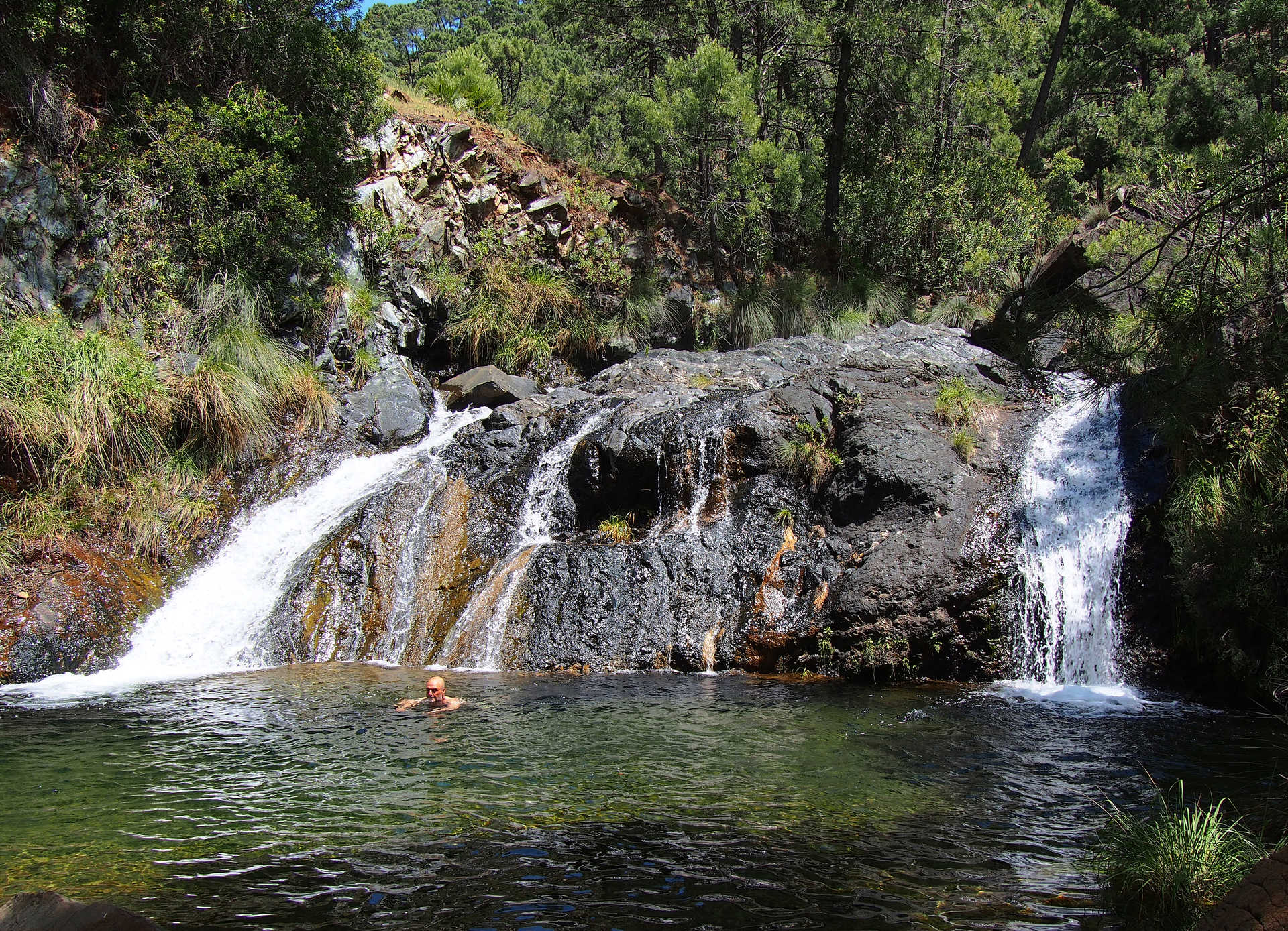
When it was explored by a group of cave divers (1980), they penetrated about 354 metres and reached a drop of 17 metres. In summer you can really enjoy the crystal clear turquoise waters. However, in the rainy season it gushes out with tremendous force and is really cloudy. When it rains intensely and there is abundant snow you get what they call a "reventón" or blow out, and the water gushes out with such force it looks like it is boiling.
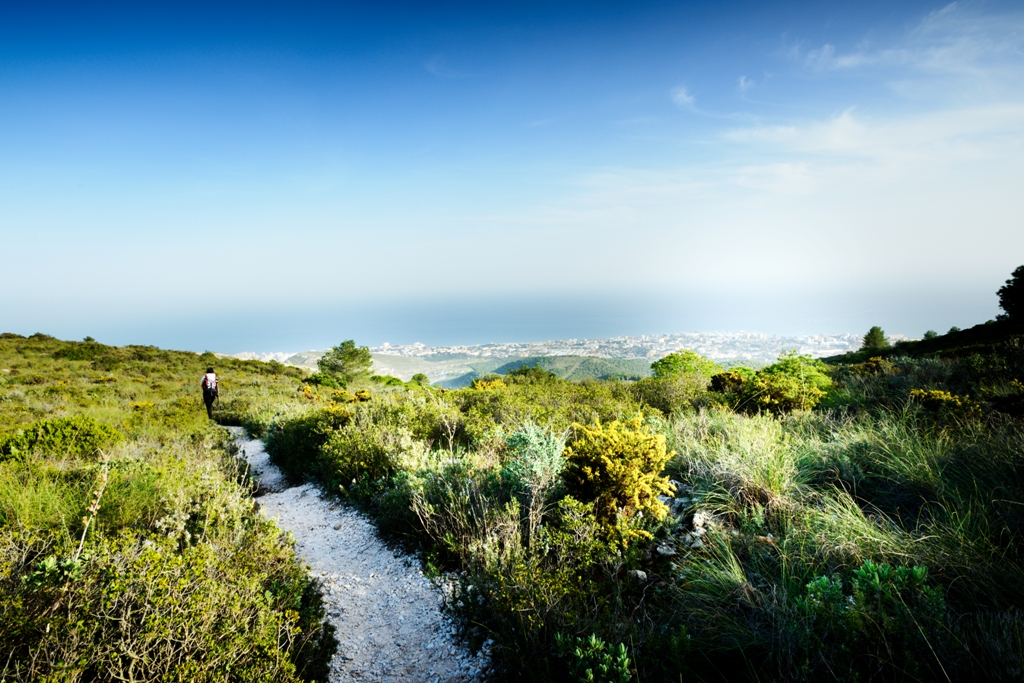
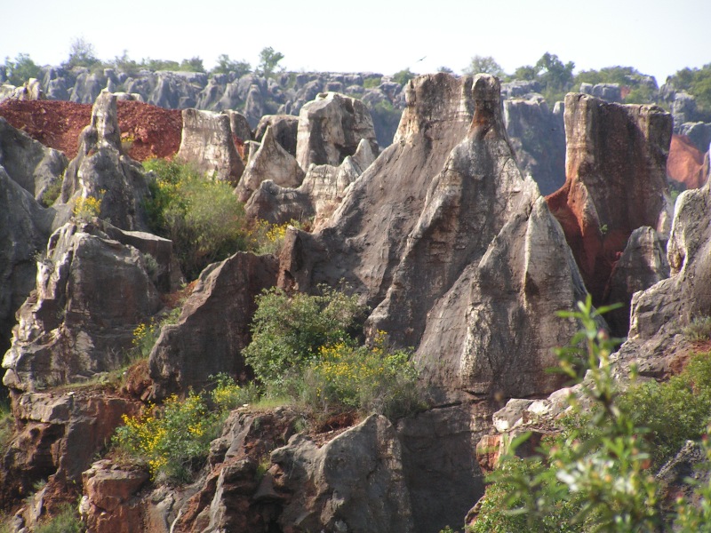
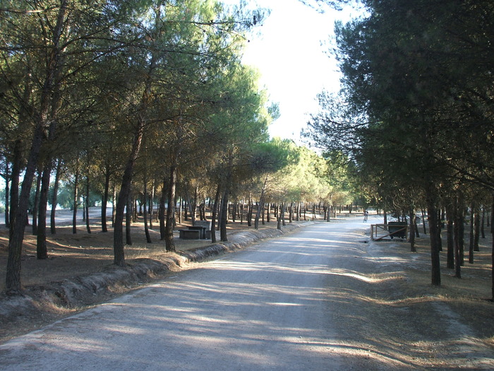
It is accessible on foot, by bicycle or by motor vehicle, there is a recreational area where you can enjoy a day out in the country, all surrounded by ancient limestone cliffs with natural shelters where cave paintings have been found.
en
Read more
Coordinates not available
Source of the Segura River
Fuente del Segura, 23291
Contact information
Copied to clipboard
Services and infrastructure
Target audiences
I travel alone, Friends, For families, Seniors, young people
Segments
Nature
Type of activity
Hiking
Season
All year
Environmental units
Alta Montaña Bética mountain
You may be interested
Torremolinos
Constantina, San Nicolás del Puerto

Cuevas de San Marcos
Jubrique
Santa Fe
Istán
Utrera, Coria del Río, Puebla del Río, La, Dos Hermanas
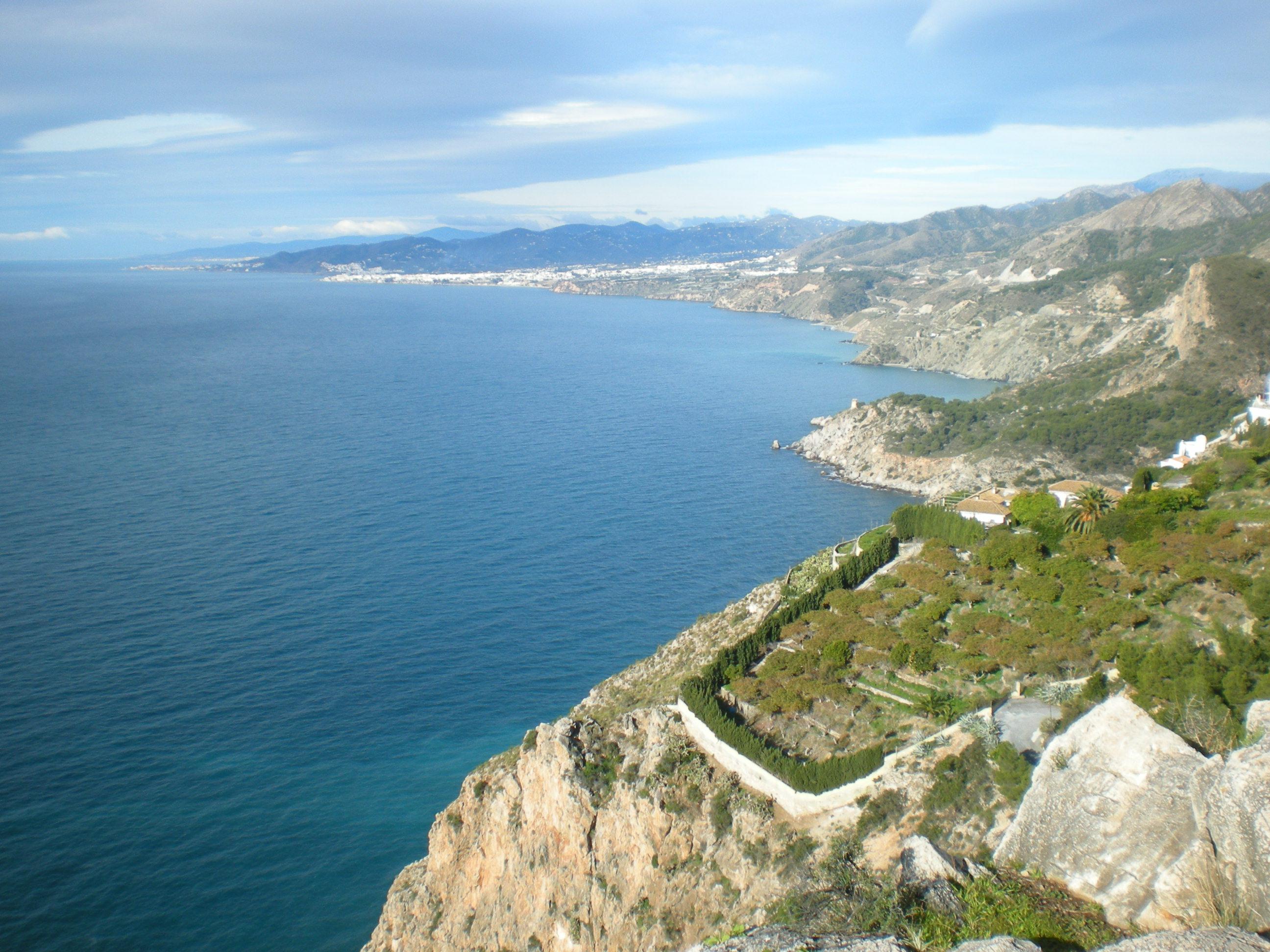
Nerja, Almuñécar


EXPLORE ANDALUSIA
EXPERIENCES


