
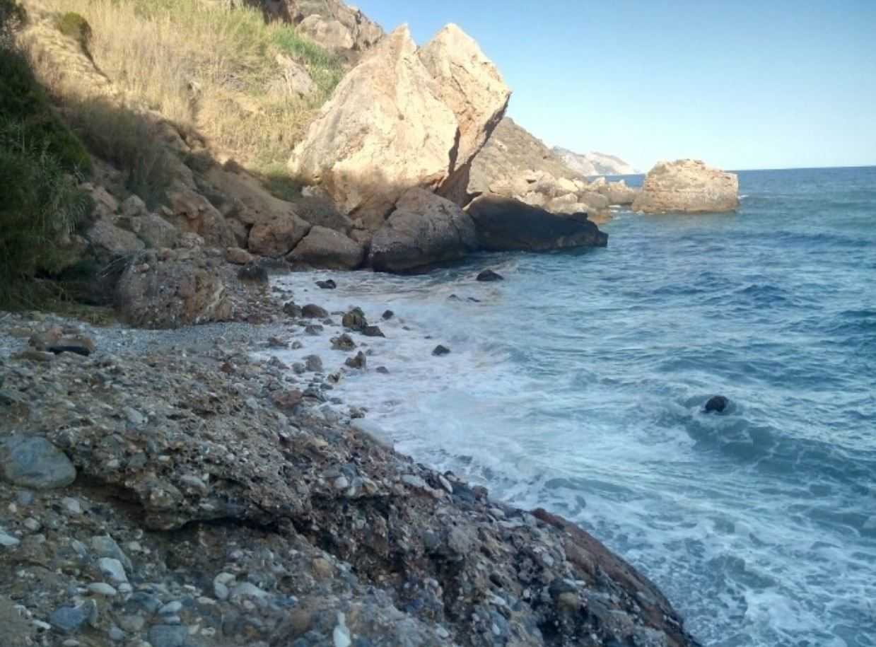
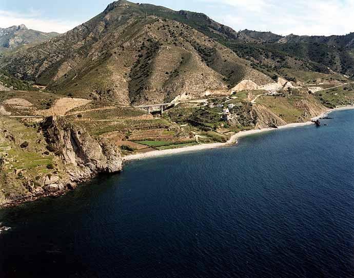
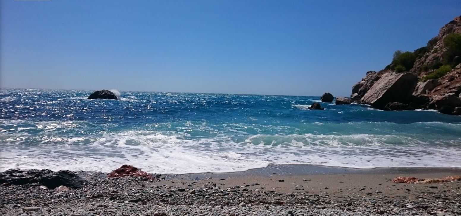
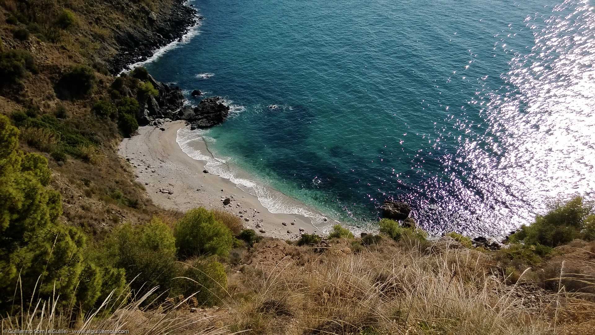
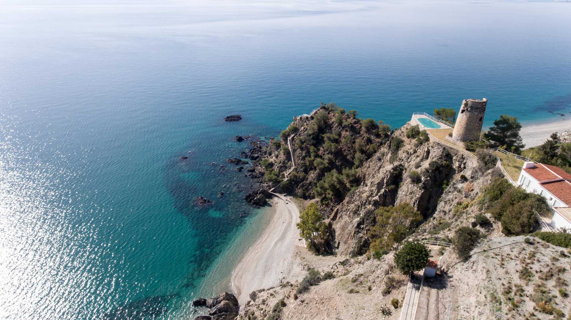
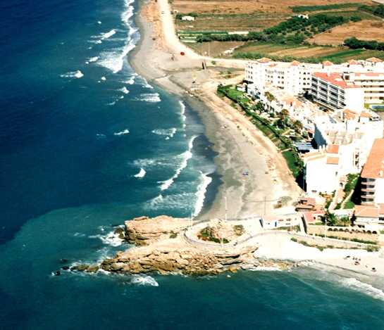
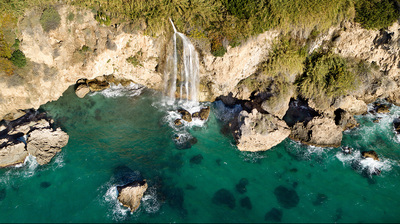
Cala Barranco de Maro
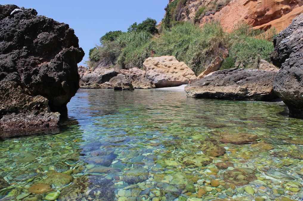
Barranco de Maro Cove is located in the mouth of Barranco de Maro, surrounded by reeds and subtropical crops. It is a haven of peace protected by a thick reed bed and bathed by crystal-clear waters that shape the pebbles of its sand.
There is a path that leads to it but access is difficult. It is situated at kilometre 294 of the N-340 road towards Nerja-Almería, taking the old national road just before the beginning of a curve. After about 300 metres, turn left, before crossing the bridge, and go down a lane that leads to Barranco de Maro.
en
Read more
Services and infrastructure
Beach state
Open
Occupation
Medium-Low
Segments
Sun anda beach, Nature
Appearance
-
Sand composition
Large stones
Sea condition
Moderate swell
Urban level
Rustic
Type of sand
Dark
Length(m)
20
Width(m)
20
Accesses
Difficult on foot
You may be interested
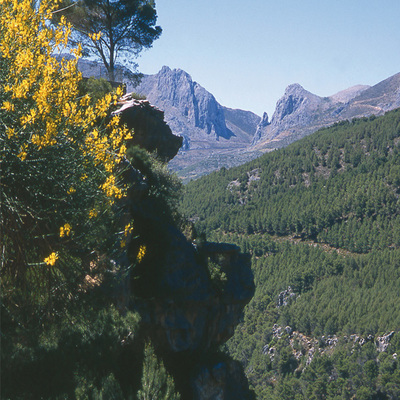
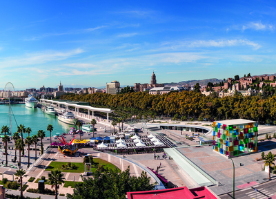
Nerja
Nerja
Nerja
Nerja
Nerja
Nerja


EXPLORE ANDALUSIA
EXPERIENCES


