Ciudad Jardín - Puerto de la Torre (Malaga) – PR-A 114 Trail
The Ciudad Jardín - Puerto de la Torre – PR-A 114 Trail starts at the Ciudad Jardín Sports Complex in Malaga. We head north along the Camino de Casabermeja, parallel to the Botanical Gardens of La Concepción, until reaching a crossroads where we can pass under the motorway. We continue to our right, along the road, until the entrance to the gardens. We leave the asphalt and join a track leading to a Recreation Area with barbecues.
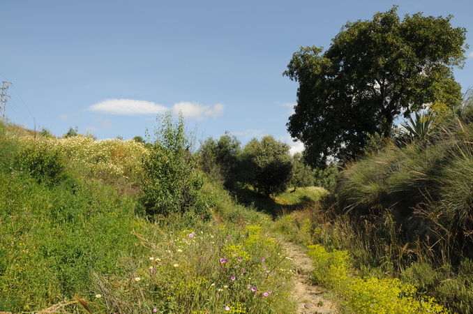
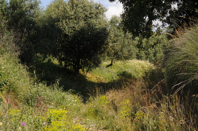
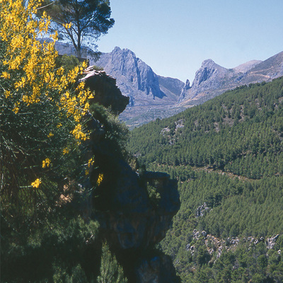
The surrounding vegetation reflects the proximity of the Botanical Gardens due to the diversity of species that grow here: holm oaks, pines, the occasional cork, fig trees, willows, thyme, rosemary and marjoram.
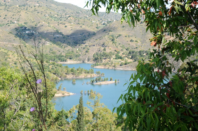
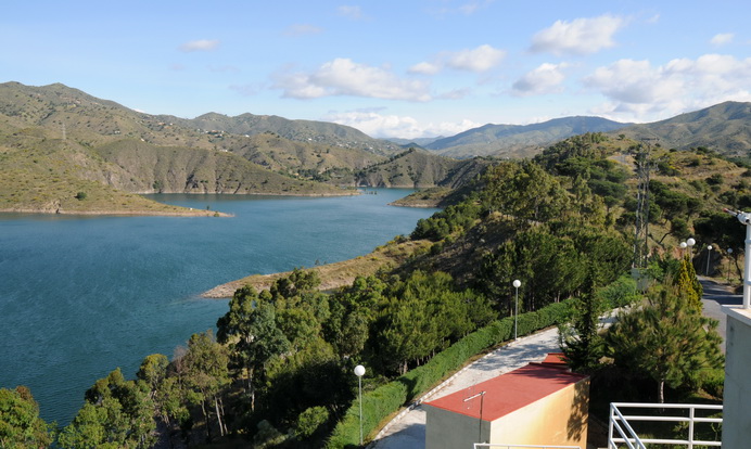
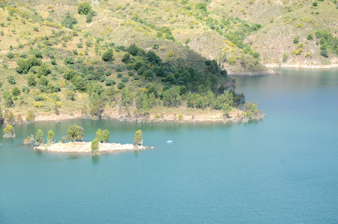
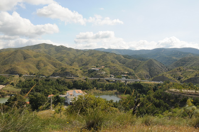
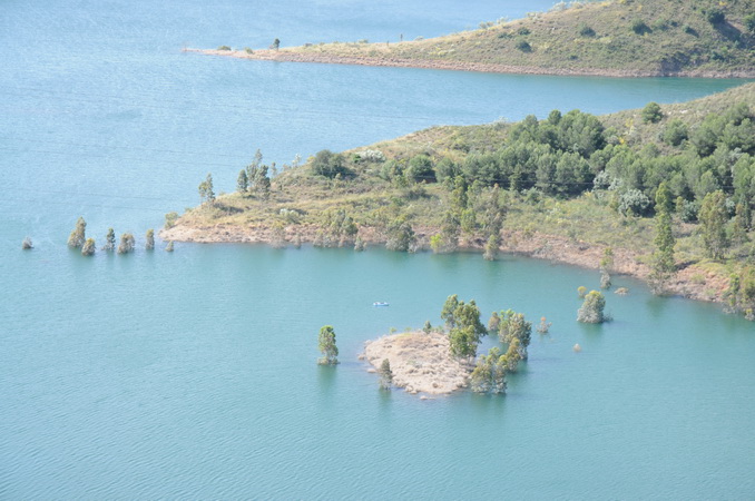
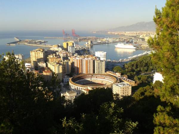
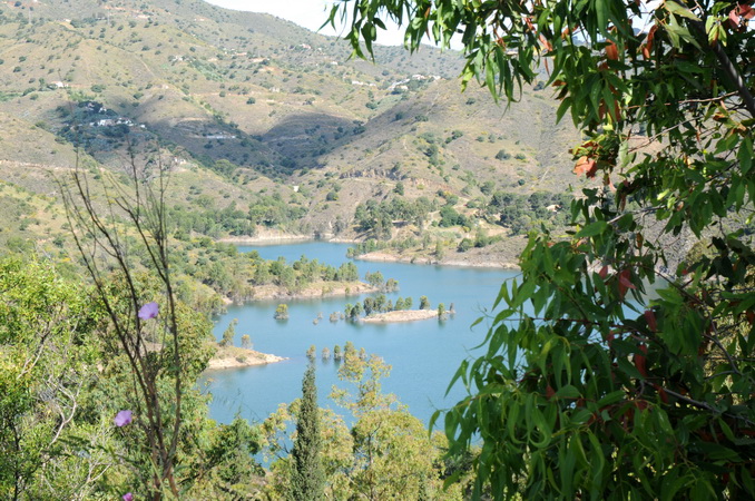
To continue on our route, we must cross a colourful iron bridge over a small stream, turn right and continue up a gently slope along a wide, compacted track that brings us to El Limonero reservoir. From here we can see part of Malaga, the Montes de Málaga Nature Reserve and Mount Alcuza at 543 m above sea level.
Parallel to the reservoir and always in an uphill direction, we pass through two chained crossroads that bring us to a path, surrounded by eucalyptus and pine, leading along the crest to a building that controls the waters of the reservoir. At this point the path becomes a track taking us down to an olive grove with barbecues and tables. Our path runs around the edge of the reservoir, leading to an electricity pylon and a fenced off area, where we have two options:
Option A:(Variant): Continue parallel to the reservoir along a narrow path surrounded by pines and esparto grass, which can be very slippery on a rainy day as the land is stepped and covered with loose stones. The trail is 950 m long and take us to a dam called Presa del Agujero, where it joins our second option.
Option B: Take the track to the right, which crosses the barbecue area and leads to a road, where we turn left and continue until passing through a tunnel, where our two options meet.
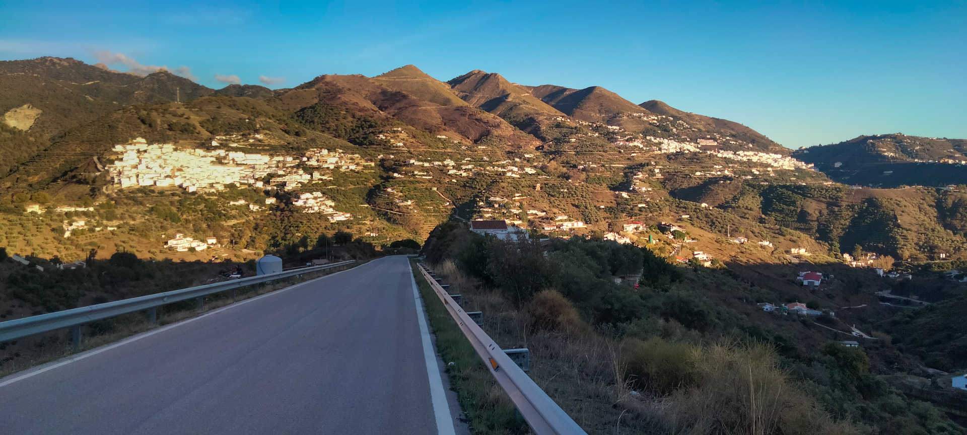
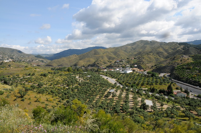
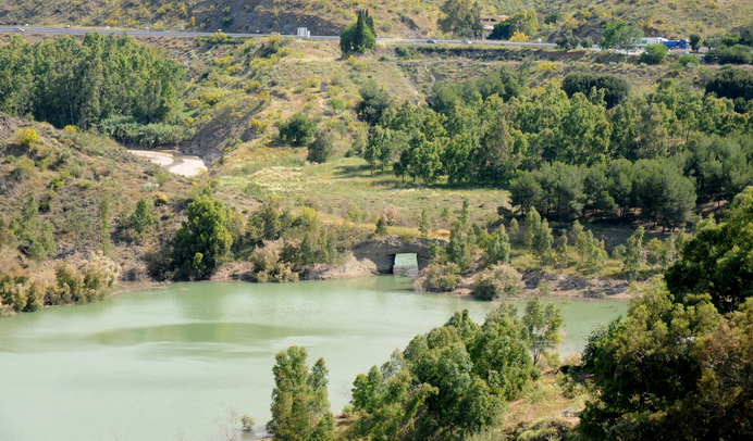
Our route continues along the road, crossing the Presa de Agujero dam, until passing through another tunnel, from where we can see the famous Venta de El Túnel. A little further on, we take a concrete track to our right and begin to walk up a steep path which takes us to a small village known as Los Pintados. Here we leave the concrete path and take a wide, well compacted track, which begins to wind gently, but quickly becomes increasingly steep, so we will have an accumulated rise of 266 m in 2,930 m once we have reached the highest part of our route. But our efforts will be rewarded by some incredible views over virtually the entire province.
This point on our route is also important, as it is very close to Los Verdiales chapel, which is very famous and with a deep-rooted tradition. We must turn left along a path known as Cuesta del Espartal and start going down a wide, well compacted track.
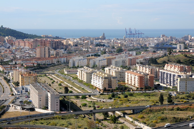
The route continues down, with the occasional small incline, but always with stunning views of Malaga and its surroundings. We soon reach a stream called Arroyo España and we can see the motorway that we cross beneath to enter the district called Barrio de Fuente Alegre. Without leaving the street of the same name, we travel through this district to Puerto de la Torre (Torresport) Sports Centre, where our route ends.
Type of Trail: Linear. Trail Status: Approved and signposted 2010. Total length: 17.2 km. Sections: 1 Accessibility: Suitable for walking, horse riding and cycling, except variant. Download Brochure
Itineraries
Services and infrastructure
Target audiences
Segments
Season
You may be interested

