Molares, Los

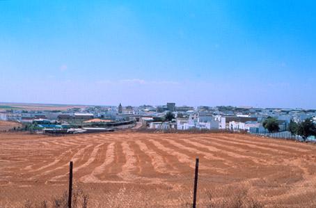
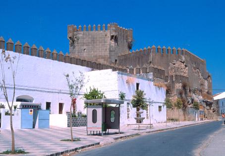
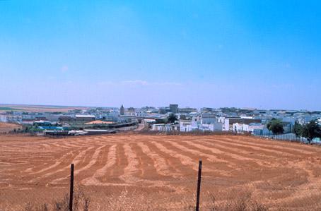
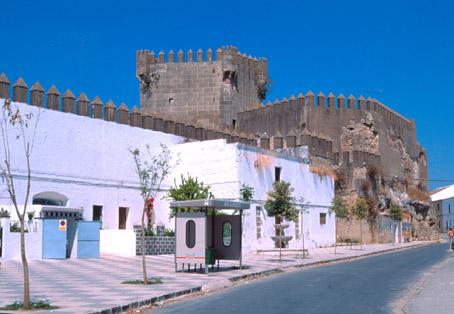
Small village belonging to the Campiña located near Utrera, with typical white Andalusians houses surrounding its most interesting monuments, including the Castle, the church of Santa Marta and the church of Nuestra Señora of los Remedios.
History
The village grew around the castle built in 1336 by Lope Gutiérrez de Toledo, who had received the land from Lope Chico. The king Ferdinand IV gave the Molar estate to the gentleman Lope Chico for his services during the war against the Muslims.In 1430, the castle was converted into an important fortress.
The village then belonged to the dukes of Alcalá, until feudal domains were abolished in the 19th century. It was under the jurisdiction of Utrera until 1919, year in which it became an independent municipality.


