
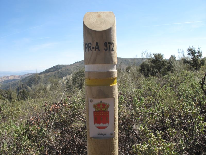
Reul Alto Trail PR-A 372
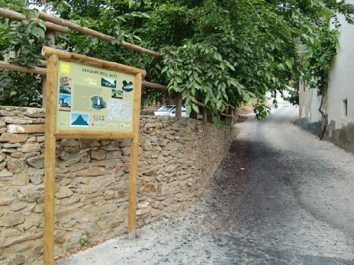
The La Reul Alto Trail- PR-A 372 enters the heart of the Sierra de los Filabres mountains, starting from the village of Laroya, at an altitude of 850 m, it crosses a gorge of boulders and climbs up the mountainside, passing through the tiny village of El Reul Alto, a name brought from Navarre during the "Reconquista". There it reaches "La Fuente" (the Spring), where the hikers can refresh themselves.
The path continues the climb up to the Paraje del Cortijico and reaches La Piedra de Juan Felipe at 1,500 m. Here there are outstanding views and photo shoots of the Tetica de Bacares, Sierra Sagra mountains, Sierra María mountains, the entire valley of El Almanzora, and on a clear day you can even see the mouth of the Almanzora river in San Juan de los Terreros and Villaricos.
From here it descends by another path to Reul Alto, the Era del Collao, overlooking at all times the picturesque village of Laroya, until returning to starting point.
Along the PR-A 372 trail you can enjoy a variety of landscapes. In the proximity of the village, you'll see the typical terraces, built for growing the different crops, so necessary in this mountain setting. The vegetation along the route is varied, including almond trees, olive trees, small vegetable gardens, and a great quantity of broom, thyme, rosemary, wild lavender, shrubby sea-blite, etc.
During the ascent the olive trees gradually give way to almond trees which do not need irrigation. Around the spring you'll also be delighted by the silverleaf poplars and their relaxing humming. Before you realise it, the route ends in a spectacular wood of holm oaks, many of which are very old, as well as chestnut trees, walnut trees and pines.
Along the route you'll find a number of different signposts, since there are sections which coincide with other trails, such as the GR-143 and the PR-A 366, so must always watch out for the signs indicating the PR-A 372 to take directions.
Type of Trail: Circular Trail Status: Approved and Signposted 2011. Total Distance: 13.4 km. Legs: 1 Accessibility: Suitable for walking, mountain biking and on horseback. Download Topo Guide
Itineraries


Services and infrastructure
Target audiences
Season


EXPLORE ANDALUSIA
EXPERIENCES


