Iruela, La
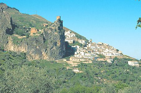
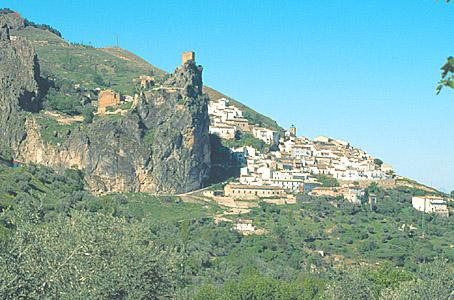
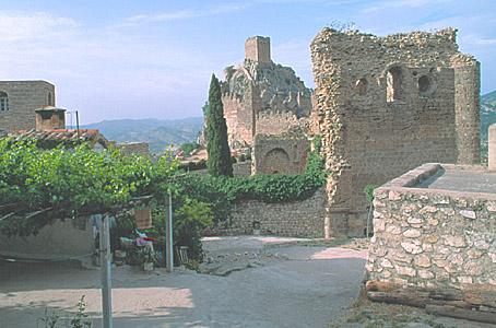
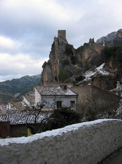
This small and beautiful village is situated close to Cazorla, beneath a big rock from where we have a spectacular view of the surrounding countryside. The village spreads out on the slope of the mountain, beneath a rock topped with the ruins of the Castle and the Monastery of the Templars. Another monument of interest is the Church of Santo Domingo.
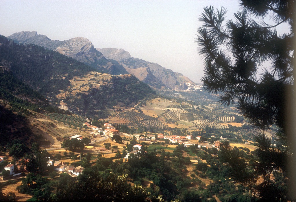
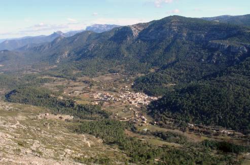
Its municipal district is included in the Sierras de Cazorla, Segura and Las Villas National Park, the largest protected natural space in Spain: an orographic labyrinth of valleys, calares, gorges, mountains and flat lands of enormous hydrological importance (due to the numerous rivers and streams which spring within the Park); of great botanical importance (different varieties of pine trees and a lot of endemic species); it is also important aesthetically and from a wildlife point of view. Because of this it is one of the most visited and frequented natural spaces in the country.
History
The first human settlement we know of, is Iberian (Túrdulos) and on its site, the Carthaginians built the village of Curris.
It received its present name during the Al-Andalus period. The castle was impregnable due to its location.
The Archbishop of Toledo Don Rodrigo Ximénez de Rada reconquered the village in 1231.
From 1294 the village depended on Cazorla, until 1408 when it received Village status.
La Iruela takes part in the fights between the Archbishop of Toledo and Don Francisco de los Cobos.
The Archbishop of Toledo kept the rule of the village until 1811.

- Max 7
- Min 6
- Max 44
- Min 42
- °C
- °F

