Istán – Herrizas de la Gallega – PR-A 166 Trail
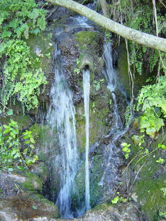
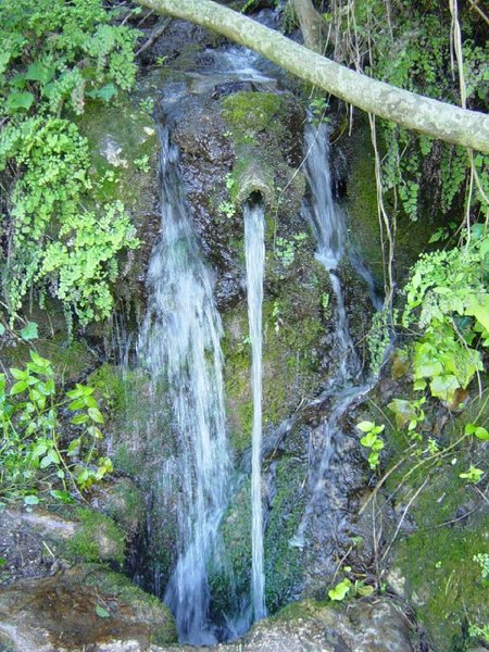
The Istán – Herrizas de la Gallega – PR-A 166 Trail runs through traditional orchards and leads down to the River Molinos where we can see the remains of old flour mills that used the force of the water to drive their machinery. After crossing the river, we pass by an Arabic threshing floor.
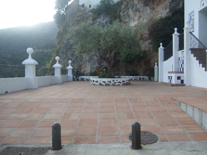
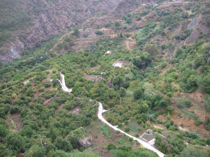
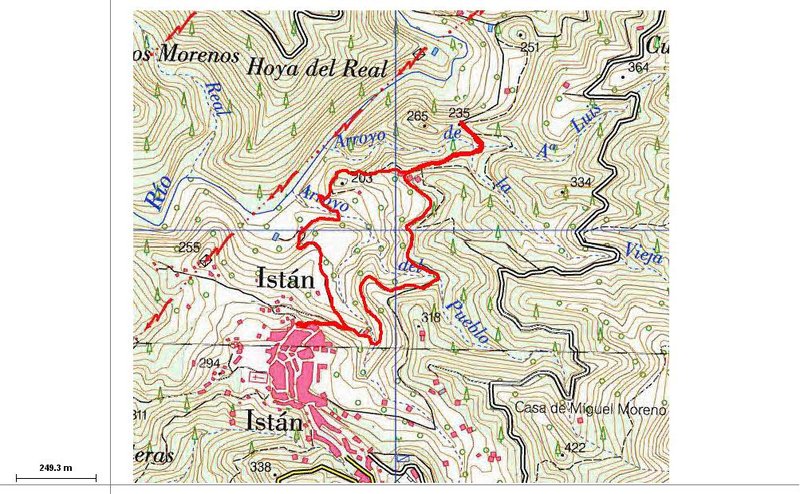
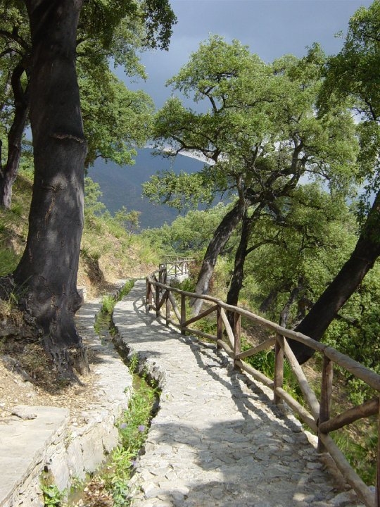
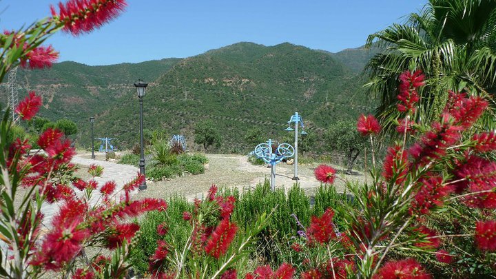
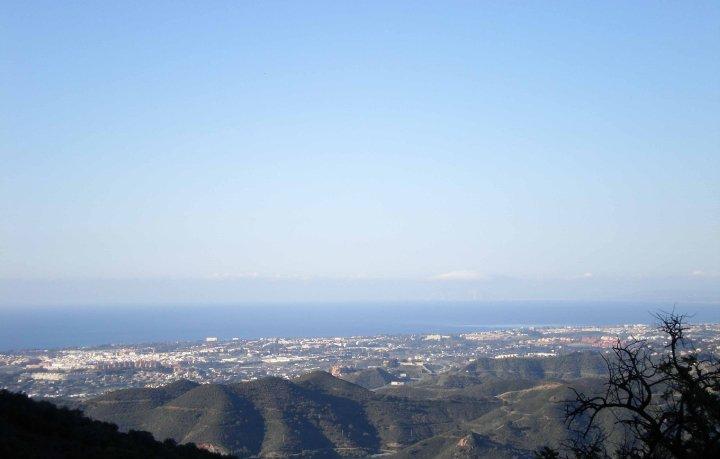
The PR-A 166 starts at a viewpoint known as Mirador de la Casa de la Juventud, in the northern part of Istán, where we can see to the north practically the entire area through which this route passes. We take the path that leads down to the right, on a steep slope. Passing between well kept orchards, we reach a bridge over the River Molinos, a tributary of the River Verde into which it flows some 100 metres further down.
After crossing the bridge, we take the path to the left and continue until the end of the track where we find a gate leading to a private estate. To the right of this gate there is a trail leading up, which we follow. As a point of reference, we pass through some enclosures containing animals that we leave on our right and, a little further up, we reach the remains of an old Arabic threshing floor.
During this section, we pass through a valley formed by a stream known as Arroyo Luis, which also flows into the River Verde.
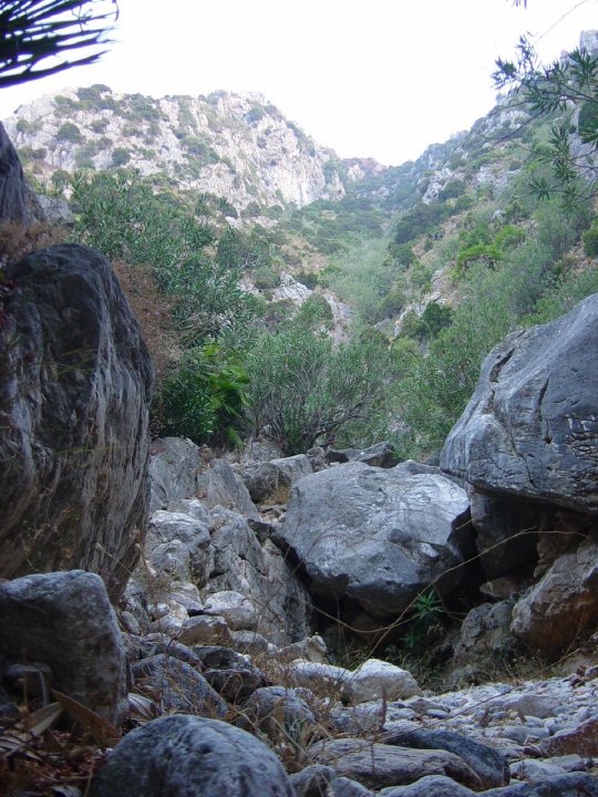
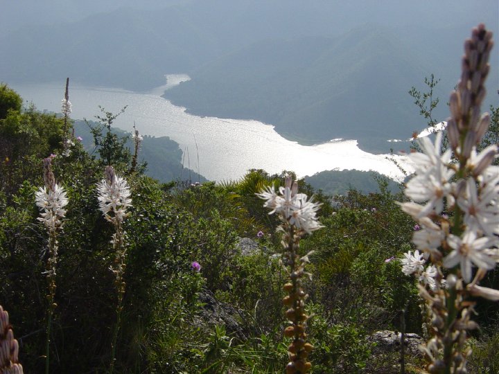
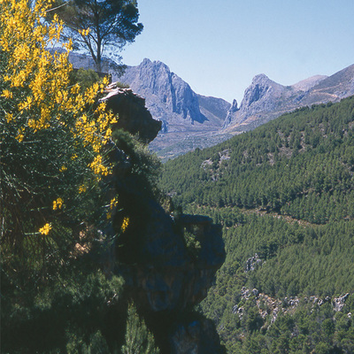
Leaving the threshing floor behind, in about 20 metres we reach the Istán-La Gallega track, which we take on the left. After 200 metres, we cross the Arroyo Luis stream and, a little further on, we reach Puerto de la Gallega pass, where we can enjoy a beautiful view of the area known as “La Gallega”. From here, we reach from the left a rocky hill known as “Herrizas de la Gallega”, where the views are even better.
After enjoying the views, we retrace our steps across the Arroyo Luis stream, leaving the Moorish threshing floor behind us, following the same path as before.
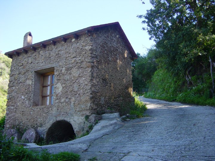
We cross another stream where we can see an irrigation bridge on our right and, after walking a few metres up the track, we take a path that comes down from the right. This trail, known as “Camino de los Molinos” (Route of the Mills), crosses an irrigation channel a few metres on. Continuing down, we see the River Molinos again along with various buildings on the other side. These are old mills, some of which have been restored.
After reaching another irrigation channel, which we follow for a few metres, we continue along a trail that runs down and crosses the River Molinos. Having crossed the river, we take the path to the right that brings us to an area of level ground, from where the track climbs steeply upwards. This is the same track we took at the start of the route.
Type of Trail: Circular. Trail Status: Approved and Signposted 2002. Total Length: 3.3 km. Sections: 1 Accessibility: It can be done on foot. Download Brochure
Itineraries
Services and infrastructure
Target audiences
Segments
Season
You may be interested
