
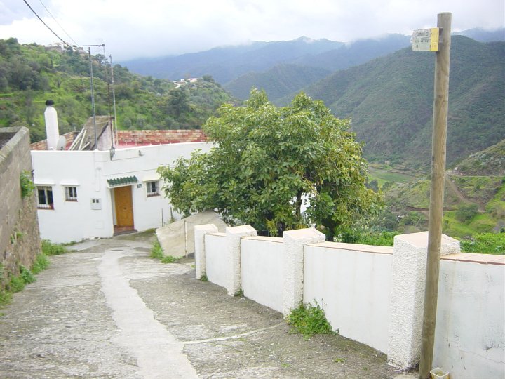
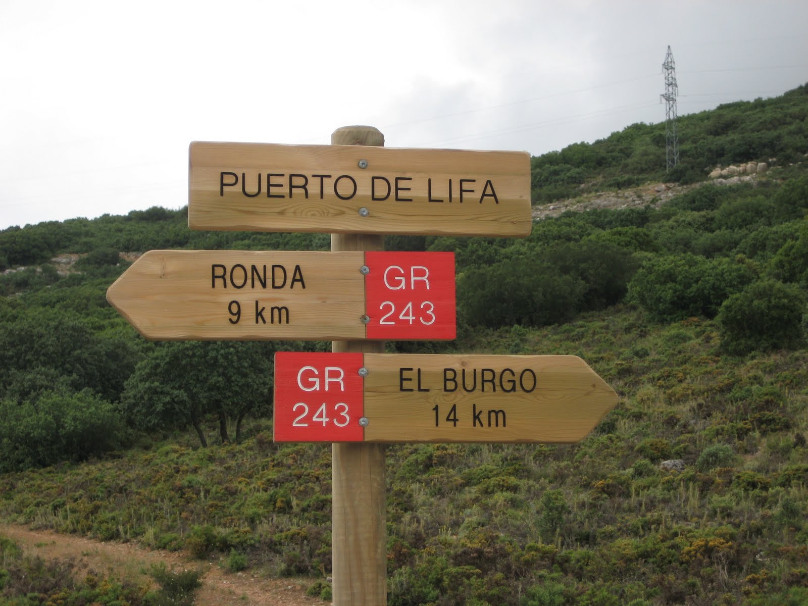
Istán – Cañada del Infierno Trail – PR-A 136
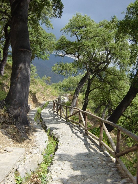
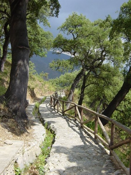
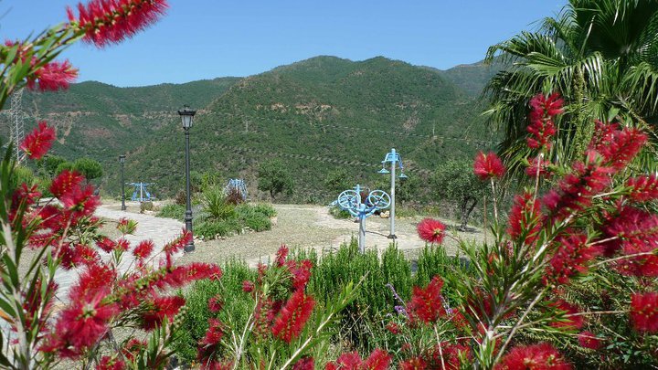
The Istán – Cañada del Infierno Trail – PR-A 136 starts in Istán, from the Plaza El Calvario; in the direction of the sports centre, halfway up the slope we will find the entrance to the trail, at the El Coto recreational area. We will take it and follow the stone path that runs by the side of the irrigation canal, stopping to admire the beautiful hiding places that this bastion of Mediterranean forest offers.
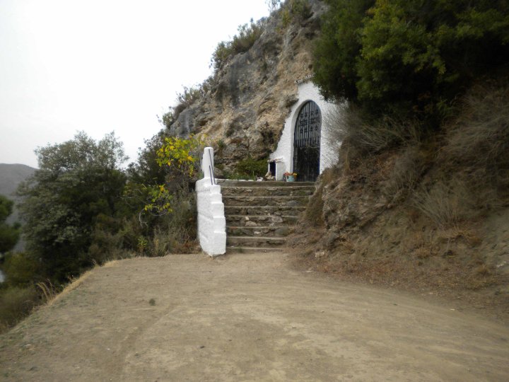
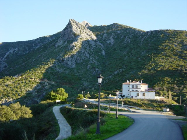
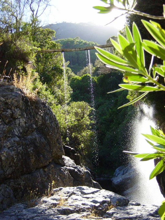
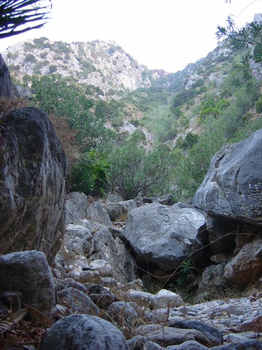
We will follow this path to the end, where it links up with part of the lane that ascends until it reaches a paved path. Here we will turn left and this path will lead us to another recreational area: the Nacimiento del Río Molino (Source of the River Molino). Here we can take the opportunity to get some water. From here, we continue on the forest track and, after about 500 metres on the right, a path appears, which ascends and takes us to another secondary lane which we must continue along. A little further up we will come across a lane on the right, which we must avoid; we will follow the main path until the end. About 10 metres before the end of the lane, on the right, we will get back onto the old path that continues to ascend, and after a short while we will cross a ravine - that of the Arroyo de la Vieja stream, and continue to ascend for a little longer. Soon we will see on our right a large rock formation, El Tajarillo (598 metres); we will follow the path by the base of this formation.
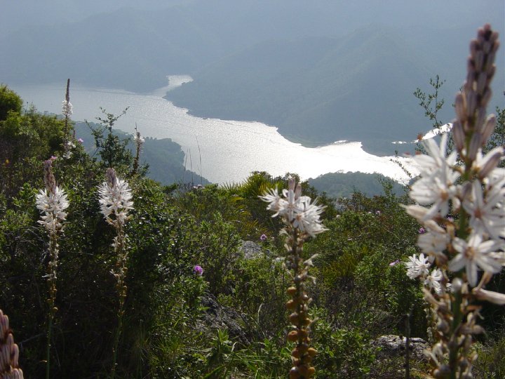
We pass by its base and, from here, the path starts to flatten out, passing through a grove of olive trees and the end of a track. At this point we can stop to take some air, rest, and meanwhile enjoying the views. To the northwest you can see the Plaza de Armas and behind it the southern slopes of the peak of La Torrecilla. A little further on we come to a fork in the road. Either path will take us to the Cirola mountain pass; one will take us further up, giving us more views of the landscape, and the other will take a lower route. If we reach the mountain pass via the lower path, we will have to ascend about thirty metres in order to continue along the path.
Shortly after this crossroads we reach another ravine, that of the Arroyo Castaño stream and then we reach the Cirola mountain pass. At this pass we will see that the path continues eastwards, we will have to be especially cautious, as the path gets considerably narrower. After a few minutes we will reach the Cañada del Infierno ravine. Once we are in the ravine, it will be easy to find water a little lower down. Finally, we will descend about 500 metres down the ravine until we reach the Istán-Monda track. To get back, we have various options: we can return the way we came, or walk along the track, turning left, or, as a third option, we could be picked up from here and return to Istán by car.
Type of Trail: Circular Trail Status: Approved and signposted 2002. Total length: 13.3 km. Sections: 1 Accessibility: It can be done on foot. Download Datasheet
Itineraries


Services and infrastructure
Target audiences
Segments
Season
You may be interested


EXPLORE ANDALUSIA
EXPERIENCES


