Isla Mayor
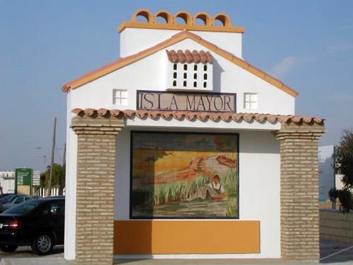
It is the most recent township of the province of Seville, following its separation from La Puebla del Río in 1994.
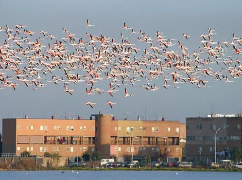
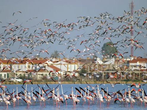
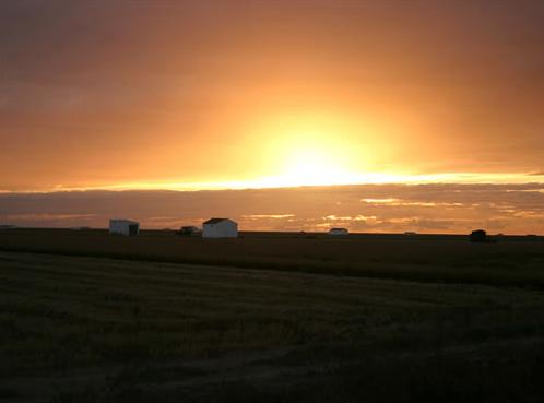
The township is located on land owned by the Marshes of the Lower Guadalquivir, and some of these are included in the Parque Natural del Entorno de Doñana.
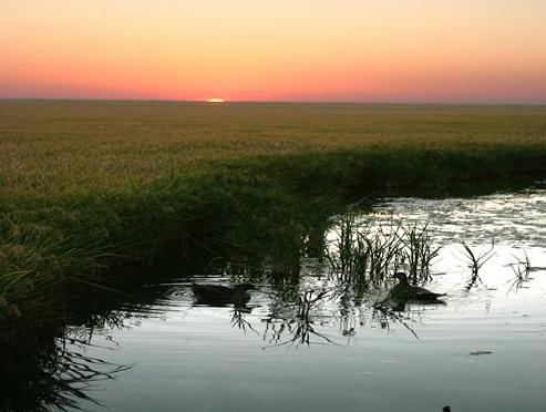
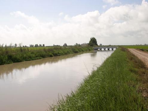
It was founded in the decade of the 20's as a result of the colonisation of the marshlands for the purpose of cultivating rice, the main source of income for its inhabitants, many of whom come from Valencia. This special circumstance gives the village a special atmosphere within the Andalusian context.
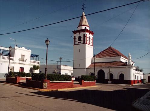
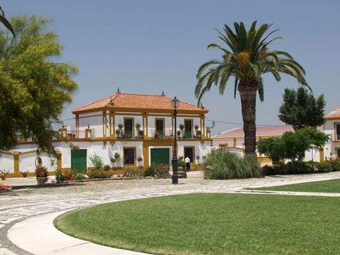
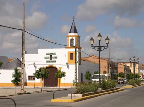
The municipal area presents the typical morphology of the towns of colonization, with a predominance of regular street layout.
History
For over two centuries the surrounding towns and villages have used the fields of Villafranco del Guadalquivir for their livestock.
The colonisation of the marshlands of the Guadalquivir river in the 20's and 30's for the purpose of cultivating rice was the origin of the foundation of the village.
Incorporated as a part of Puebla del Río in 1956, it became fully independent in 1994.
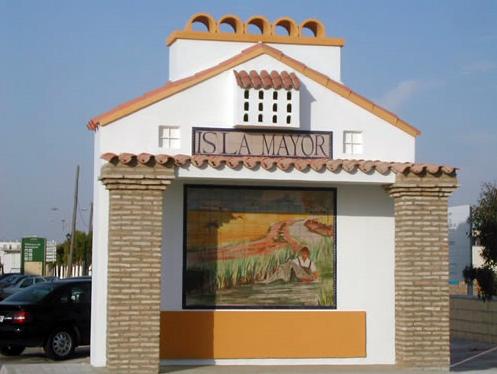
The name was changed by popular vote and renamed as Mayor Island since 2000 (formerly known as Villafranco del Guadalquivir).


