Huétor Tájar

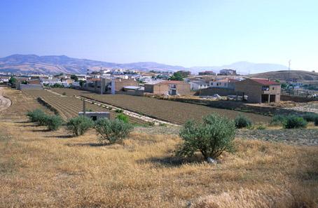
Huétor-Tájar, located on the west side of Granada, is also called surco intrabético, i.e. fissure dividing the Bética mountain range, last steps of the high plateaus that link Levante to Andalusia, and shares the distinctive characteristics of the area.
On the riverbanks of the Genil, it displays the diversity of sceneries of the villages in the Granada valley, and of the farmlands, which in the case of Huétor-Tájar are large producers of its well-known asparagus.
History
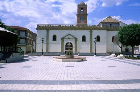
It is probable that Huétor derives from the Arab word wadi, meaning "river", and Tájar from the name of the defensive tower (Tahara, apocope of Taharal), which is still preserved in the village.
After the taking of Loja, King Fernando the Catholic named D. Alvaro de Luna alcaide, i.e. the person responsible for the defence of the area.
King Charles I granted it the title of Villa in 1526, becoming an independent village in the 19th century.

- Max 12
- Min 11
- Max 53
- Min 51
- °C
- °F


