Huércal La Vieja Trail – PR-A 323
The Huércal La Vieja Trail – PR-A 323 passes through the eastern end of the Sierra de Almagro. It is in the region of Levante Almeriense at the crossroads that form the Mediterranean corridor, and all the gorges and ravines of the municipality flow into the basin of theRío Almanzora.
The large district Huércal Overa has many natural areas of great beauty, and have not been exploited, ideal for visitors seeking peace and ecological values. Located in the cultural region of Bastetania, since prehistoric times, the Argaric metal period, it has had the mission to put the men of the harsh peninsular southeast in contact with the labourers of the fertile plains of Granada. Furthermore, the mining wealth of its surrounding mountains led Phoenicians, Greeks and Carthaginians to settle on the coast.
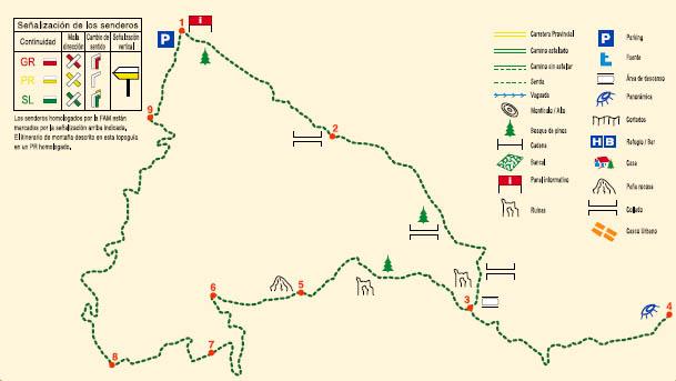
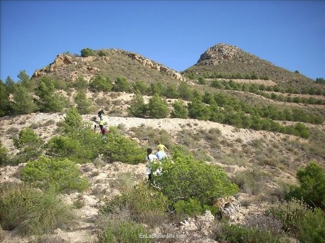
The route starts 2 km from Huércal Overa after crossing the Rambla del Saltador in the LLanos de Tadeo in the foothills of the Sierra, about 200 m high and reaching the maximum altitude of 655 m inAlto de la Rábita. It passes initially by the Barranco de la Bordaera and ascends by the old Senda del Magro path.
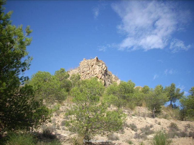
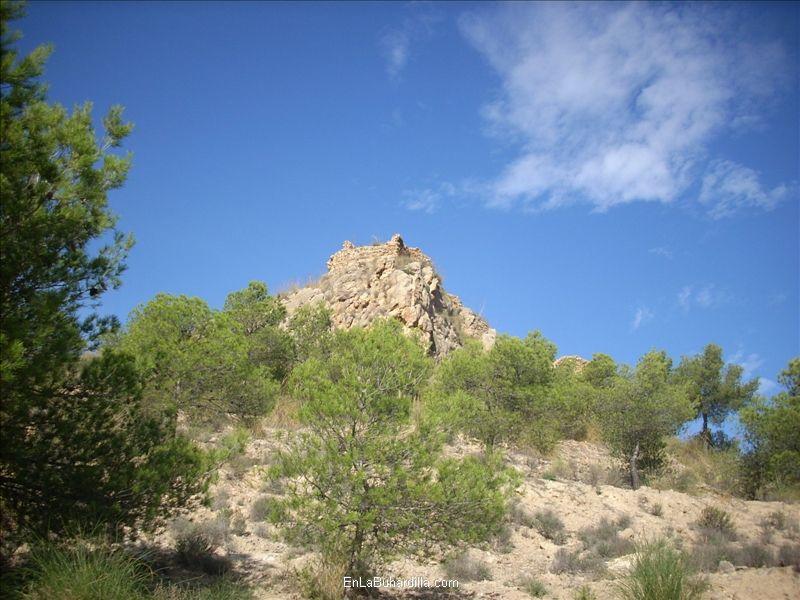
From the start to the end of the route, geology will have a very significant role, full of unique characteristics. During the ascent to the crag where Huércal la Vieja is located, we can see a great variety of unusual strata in the path trenches.
In the climb to the Alto de La Rábita, there are unusual outcrops of evaporites (gypsum) to be seen together with unique sandstone tied to the origin of these mountains. Limestone formations can be seen in the ascent to Peña Rubia, sometimes with interesting hills. The contacts between the metamorphic and sedimentary materials can be found in the Las Negras area. Then it goes by the remains of the Fuente del Lentiscal and the lowest level of the path when it passes by the Barranco de la Bordaera.
Type of Trail: Circular Trail Status: Approved and Signposted 2009. Total Length: 11.89 km. Sections: 1 Accessibility: It can be done on foot. Download Topographic Guide
Itineraries
Services and infrastructure
Target audiences
Segments
Season
You may be interested
