Cútar
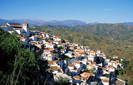
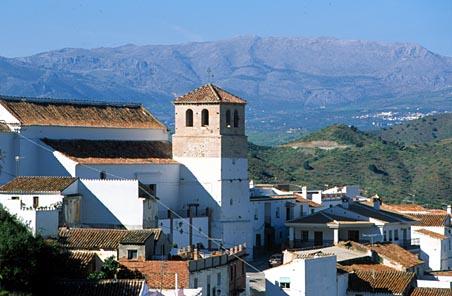
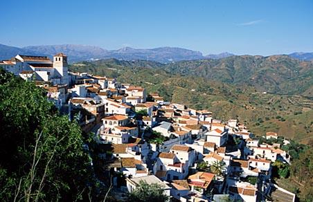
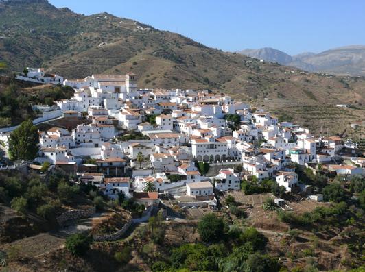
A small village located on the side of a hill of the same name, set in a landscape typical of the Axarquia region, sloping down from hills and dry peaks covered in olive trees and vines to the fertile valleys of the Rivers La Cueva and Cutar, the highlight of which is the valley known as El Salto del Negro.
History
In the north of Cutar's municipal area with a small castle, which no longer exists; the village's name is derived from the Arabic "hisn aqut", which means "pointed castle".
During the Moslem occupation, Almachar, El Borge, Cutar and Moclinejo formed a group known as "The Four Villages", which enjoyed the protection of Comares Castle.
The "Four Villages" tahá (an Arabic term meaning district or region) was the scene of one of the most significant events of the 15th century in the long struggle between the Christians and Moslems which preceded the disappearance of the Nazari kingdom of Granada: in March 1483, troops from Castile led by the Marquis of Cadiz were defeated by El Zagal's army when the Christians were on their way to conquer Malaga.
After the fall of the area to the Catholic Monarchs, a number of its morisco (Moslem converts to Christianity) inhbitants left Cutar; by about 1494, the population of the village had fallen to some 120 people.
Years later, in 1569, an almost general revolt against Christian authority by the moriscos of Cutar, Benamargosa, Competa, Sedella, Daimalo and other villages in the Axarquia region took place; the rebels stronghold was El Peñon de Frigiliana, where they were finally defeated by the governor of Velez, Alvaro de Zuarzo. The harsh repression meted out by Alvaro de Zuarzo was followed by the definitive expulsion of the moriscos from the area.
In the late 16th century, the village began to be resettled by Old Christians from various parts of Spain.
One of the most serious setbacks suffered in recent times by the population of this village was an outbreak of a phylloxera-induced plague on La Indiana estate in the municipal area of Moclinejo, close to Cutar. In next to no time the economy of the whole region, whose economy was essentially based on vine cultivation, was in ruins.
The village and its municipal area were also affected by the major tremor known as the Andalusian Earthquake on Christmas Day 1884, suffering serious material damage.


