Cumbres de San Bartolomé

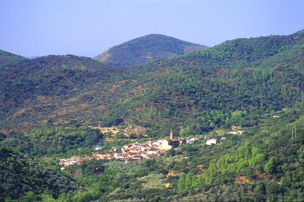
Small village situated in the north of the province, on the border with the province of Badajoz, within the Sierra de Aracena y los Picos de Aroche Natural Park, one of the most important protected spaces of the Community, which occupies the whole of the north of the province with its meadows and small rises in the ground, covered predominantly in holm oak woods, cork oaks, chestnut trees and scrub through which numerous streams flow forming an extraordinarily beautiful and attractive landscape which is ideal for livestock, especially pigs which find the conditions here ideal.
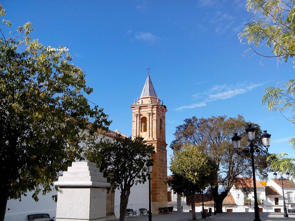
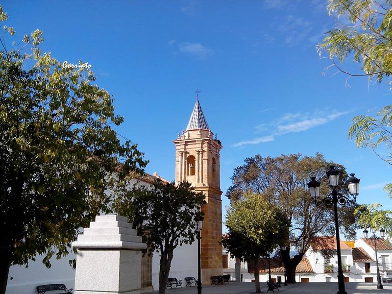
The Castle or Artillery Wall are interesting as is St Bartholomew"s church, all catalogued as Property of Cultural Interest. From an ethnographic point of view, the pigsties and small huts in the municipal AREA are worth a mention.
History
Its origins can be dated from the times of the disappearance of the old Roman town of Celtish origin Concordia Julia Nertobriga.
- Max 12
- Min 4
- Max 53
- Min 39
- °C
- °F


