Historic Site of Castril
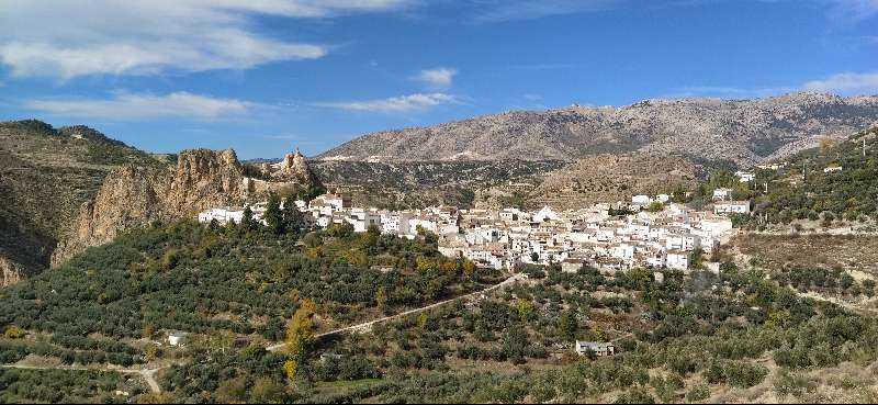
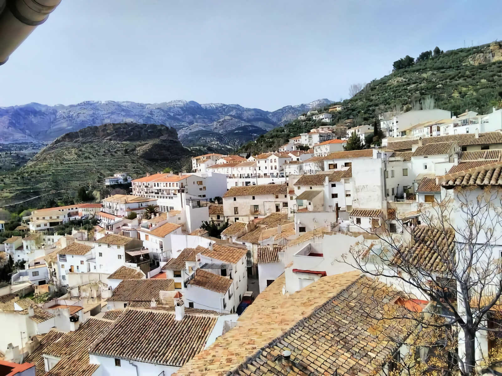
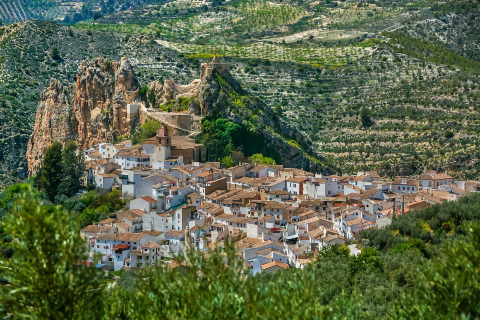
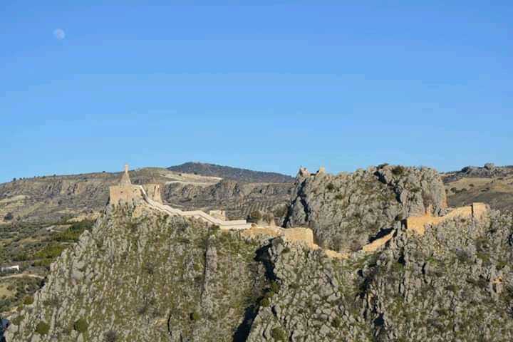
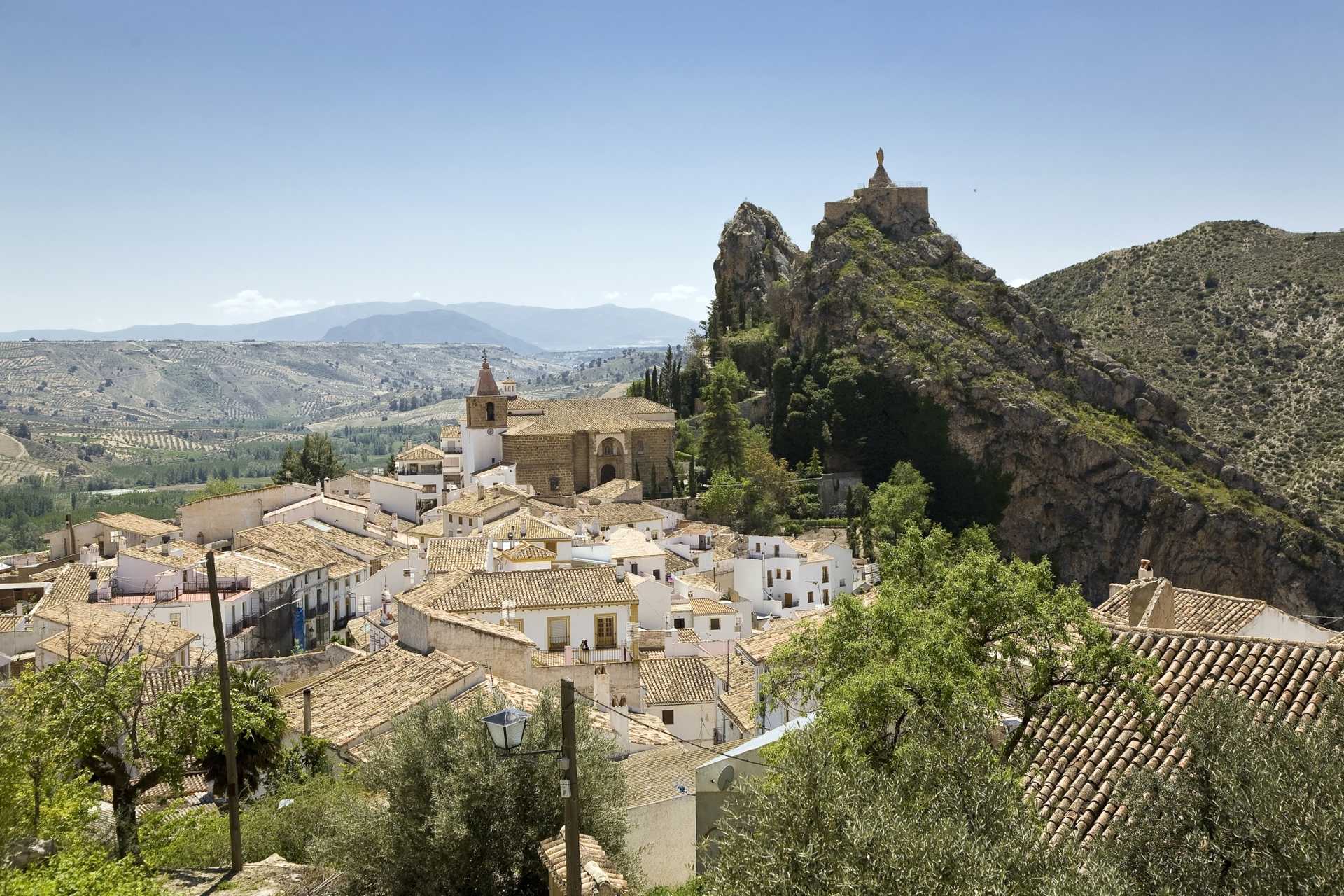
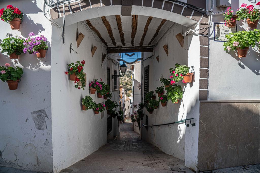
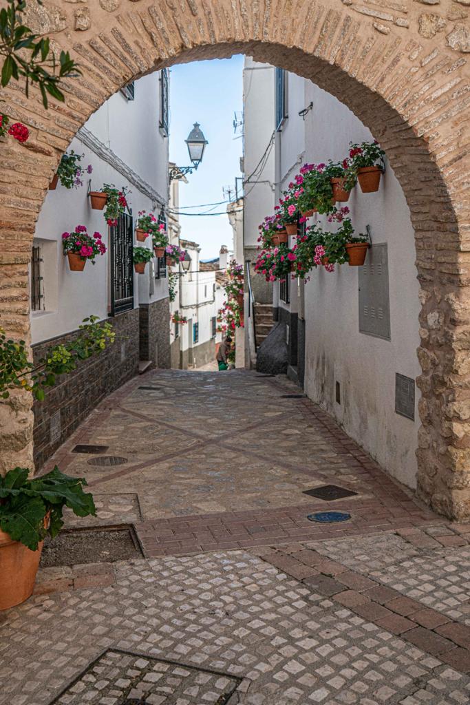
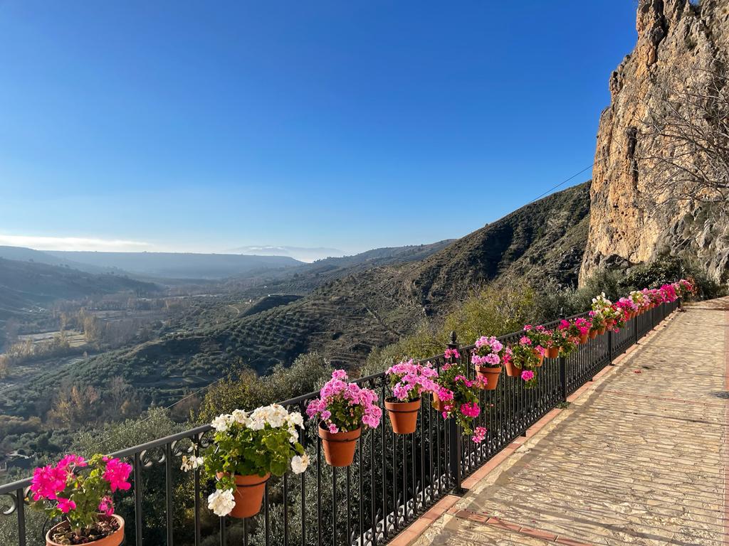
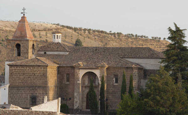
In 1982, the conservation of the urban framework of Castril led to it being declared a Site of Historical and Artistic Interest as a result of its historical, artistic and scenic value. The "Peña" or hill was classified as a Natural Monument in the inventory prepared by the Regional Government of Andalusia in 2001 and the old town centre was also included. The Sierra or mountain range became a nature reserve in 1989 and covers more than 12,000 hectares crossed by the Castril River.
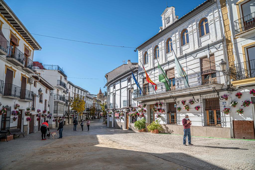
The structure of the town centre of Castril and its subsequent development were always subject to the conditions imposed by the topography. La Peña, as a natural bulwark, is connected to a gentle slope towards the north and this slope then veers downwards towards the west and the Castril River, and less steeply towards the east. It is exactly on this hill where the largest and most representative part of Castril was created: It consists of the axis of the Plaza Hernando de Zafra, the Calle Carmen and the Plaza Nueva (or "Árbol Gordo").
This clear axis is what generates the rest of the urban fabric. Historically the town grew in a north-south direction, creating long narrow blocks which were parallel to the contour lines of the slope (essentially the la Villa area and the eastern side).
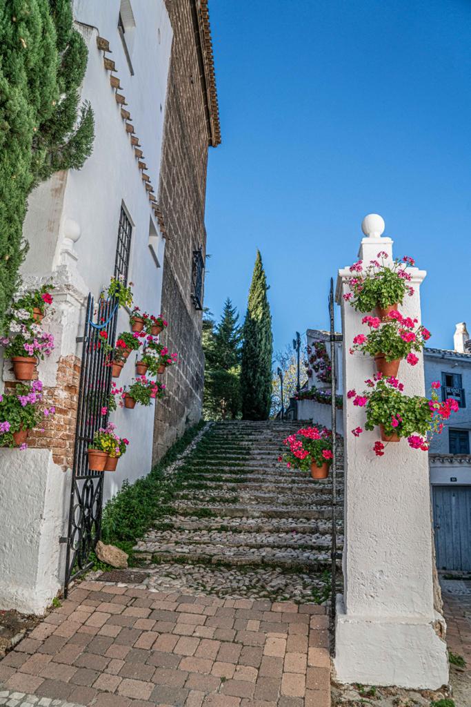
There are other transversal streets (these have a steeper slope) that join the main axis. There is another transverse axis that coincides with a traditional mountain path that comes from Quesada and goes on to Huéscar, these are the Calle Rio, Calle Vidrio and Calle Huéscar.
Information and bookings at the Tourist Office
Services and infrastructure
Target audiences
Segments
Specialties
Quality brands
Season
Duration
Open to visitors
You may be interested
