Casarabonela

The municipal AREA of Casarabonela, which stands to the west of the Guadalhorce Valley, stretches from the valley itself to the Sierra de Alcaparain y Prieta, in the Serrania de Ronda range.
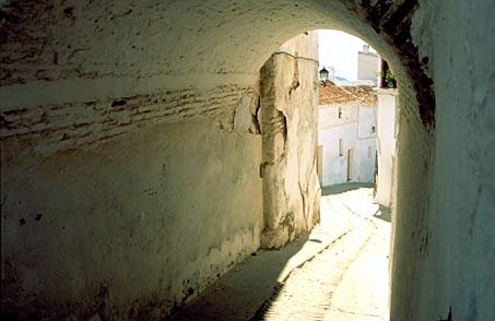
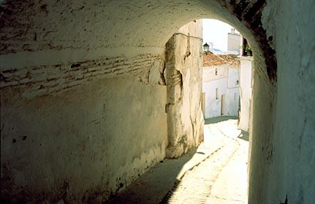
The village and its surroundings create a picturesque scene made up of orchards, olive groves and cereal fields, with a mountain vegetation backdrop. Though of Roman origin, the Arabs were responsible for the character and layout of its houses and streets.
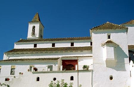
Places of Interest include the Town Hall, St. James Parish Church, and the caves of La Hoguera, Fuentequebrada and Las Columnas.
History
Although archaeological remains from the Neolithic have been found in the municipal district, the first permanent settlement and its first name, "Castra Vinaria " (meaning 'castle of wine') date from Roman times.
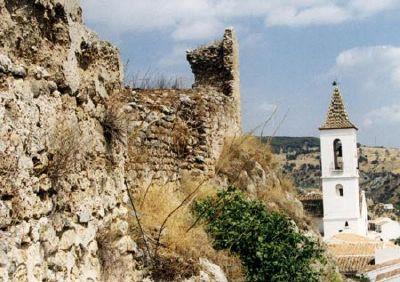
The second important period in the history of Casarabonela would come with Muslim rule. The Arabs preserved the original name, pronouncing it “Qsar Bonaira”, from which the present-day name is derived. It was also the Arabs who reinforced the old Roman fortification, which occupied a strategic location and was the last bastion of the area to be conquered by the Christian troops sent by the Catholic Monarchs.
In the second half of the 16th century, the definitive expulsion of the moriscos (Moslem converts to Christianity), left the area practically deserted; it was repopulated by Old Christians from Extremadura and other parts of Andalusia.
In 1574, according to the Village Charter conserved in the municipal archives, Philip II granted it full village status.

- Max 13
- Min 11
- Max 55
- Min 51
- °C
- °F


