Carcabuey – Los Villares - PR-A 88 Trail
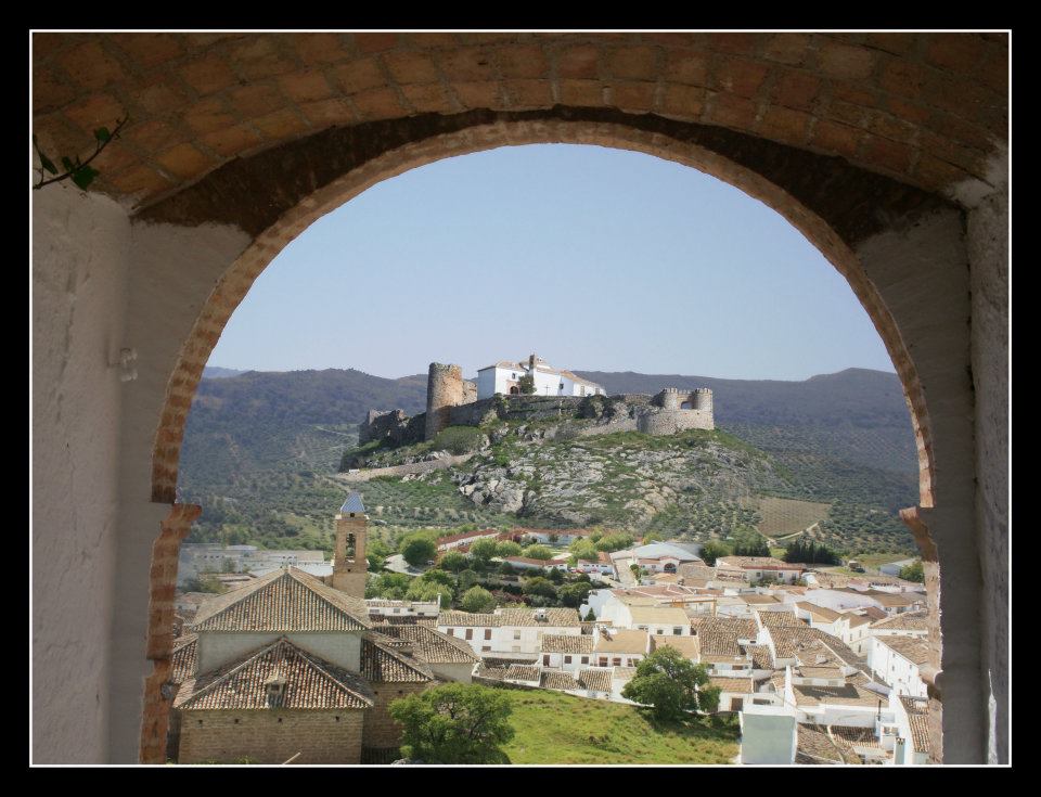
The Carcabuey – Los Villares Trail - PR-A 88 runs nearly entirely along a dirt track, which starts on the former Carcabuey road to Priego de Córdoba. It starts with quite a long and steep climb. During this first section, we will find many typical fruit trees of the area such as quince, cherry trees, walnut trees, etc. Also outstanding are the water outcrops which, in this section, will take us to cross two springs.
After the first few kilometres, we can see how the path begins to border, on its left, the Sierra de Jaula or de los Pollos. In this section of the route, the intensive use made by the inhabitants of the olive groves can be noted. When we arrive at the highest point, the track fades a little and gives way to a steeper section where a path between olive trees can be seen. From here, we can find a magnificent view of the Cabra massif and further on the Sierras de Gallinera and Horconera.
In the last part, we will soon find a series of farmhouses next to the Villares stream, which take advantage of its water for cultivating vegetables. When we turn left, we will go along a regional road where we will see, just over a kilometre away, the turn-off for Rute along the GR-7.
Type of Trail: Linear. Trail Status: Approved and signposted 2001. Total length: 7.6 Km (going) – 15.2 km (there and back) Sections: 1 Accessibility: Suitable for walking, horse riding and mountain biking. Download Brochure
Itineraries
Services and infrastructure
Target audiences
Segments
Season
You may be interested
