
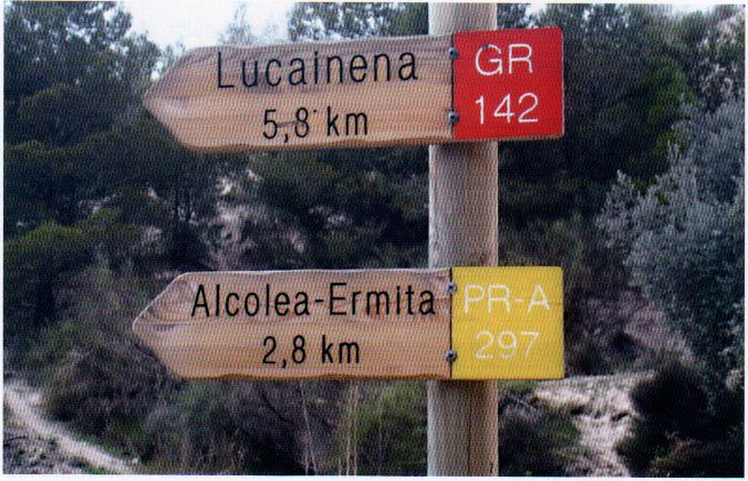
La Contraviesa Trail – PR-A 32
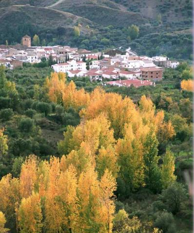
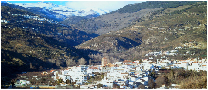
The La Contraviesa Trail – PR-A 32 winds through the Sierra de la Contraviesa mountains, with views of the Sierra Nevada and all highest peaks. The starting point is on the Camino del Cementerio path in Cádiar, which we reach after walking up a 300 m hill of olive trees. In front of the entrance there is a fountain, we take the path to the right and carry straight on beside an olive grove which every year is sown with oats. We continue through between century plants and fig trees and on down to the junction with the Rambla del Repenil. At this point we find an arrow signposting the track. We are at the Venta de Cuatro Caminos inn and continue straight on.
This point can be reached from the same road already mentioned one kilometre before. After Km 53 on the A-348 highway, we turn off to the right onto a track which we take for 400 m, to reach the ruins at the junction of Cuatro Caminos. If we turn left the path takes is to Cádiar, if we continue straight on down La Rambla, it takes us to Jorairátar along the GR 142., and if we turn we continue on our trail climbing up along the Vereda de la Cuesta de la Guitarra path which takes us to the Cortijo de la Mulera.
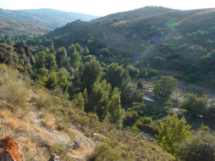
From here we continue along a ravine, lower part of the gully called the Barranco del Agua. We leave the ravine and take the path at the Cortijo de la Guitarra farmhouse. The path becomes a track at the Cortijo Carnerillo. Further on it passes by the Cortijo del Cura and continues until reaching the farmhouse of the Rambla del Banco. Here we start the next loop.
A path crosses the Barranco de la Crica stream and its spring, it passes near the Bodega Barranco Oscuro and reaches the Bodega Barranco (the loop returns to the Rambla del Banco)
It then takes us by a track to the Cortijo Pizarra, and there we take the Barranco de los Curas and the headwaters of Barranco del Agua stream. We pass by the Cortijo del Millionario and leave the ravine at the Cortijo Encina. We continue along the track and take the path leading to the Cortijo de los Cirujanos and then to the Alquería de Morayma.
The arrival at the other exit of the PR-A 32, taken in the opposite direction, is after Km 52 on the A-348 highway, where you'll find the Alquería de Morayma Agrotourism Centre. After about 500 m we take the A-345 highway to the right and leave it immediately turning left onto an old bend in the road from which we take a path between almond trees along which the trail runs.
Type of Trail: Linear. Trail Status: Approved and Signposted 2001. Total Distance: 19 Km (one way) Legs: 1 Accessibility: It can be done on foot. Download Brochure
Itineraries


Services and infrastructure
Target audiences
Segments
Season
You may be interested


EXPLORE ANDALUSIA
EXPERIENCES


