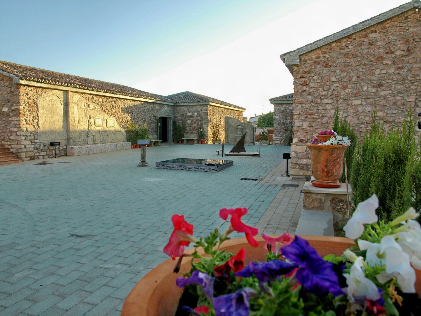
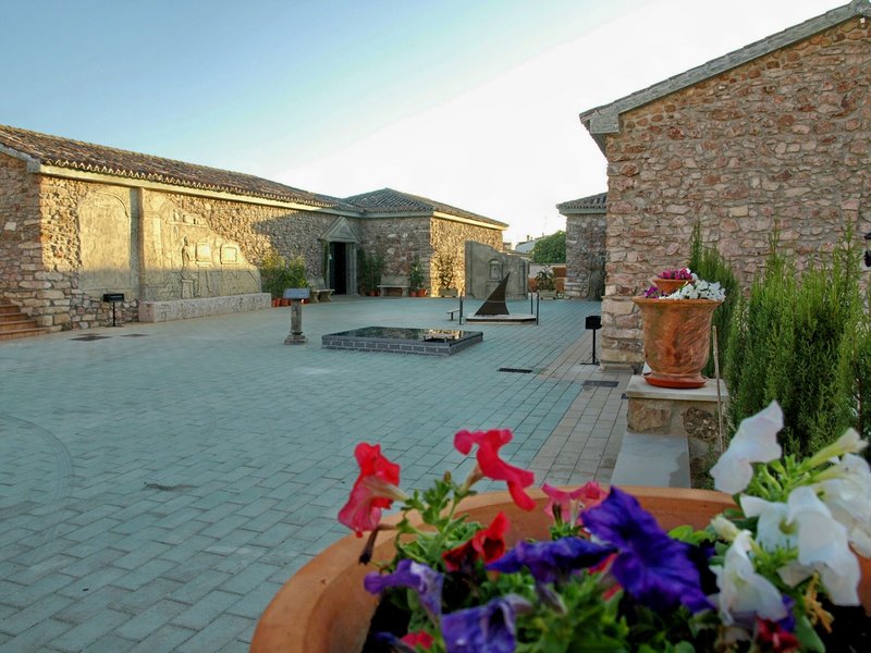
Arroyo del Ojanco

Arroyo del Ojanco is surrounded by endless olive groves, situated in the Guadalimar plain, next to the N-322 main road, which runs through the town centre. The town and services have grown around this important road.
Most of the district is used for growing olive trees. They produce top quality oil, under the Sierra de Segura Designation of Origin. The Rivers Guadalmena and Guadalimar run through the area, creating a beautiful landscape, which is part of natural heritage of the Sierra de Segura Mountains. Near the area, heading towards Puente de Génave, we can find the Guadalmena reservoir, the third largest reservoir in the province.
The urban structure of this municipality, which is at the foot of the Sierra de Segura Mountains, was built at the beginning of the 20th century, thanks to the incessant activity caused by the construction the Baeza-Utiel railway. The streets are long and the layout is completely flat.
History
Even though Arroyo del Ojanco was only founded recently – the current town centre dates from the end of the 19th century – there have been towns in its area of influence for centuries. In fact, there are remains from the Stone Age and Iberian period in the surrounding area, but the most important ones are from the Roman village of Los Baños.
When the Moors arrived this village disappeared, with only towers at either side of the stream remaining.
During the 19th century it had different names and it was also known as "de las Ventas", as well as Arroyo de los Ancos. At the beginning of the 20th century, it was sometimes called Ventas de la Camposanta, as well as Arroyo del Ojanco.
The movement to segregate from Beas de Segura began in 1950, although it remained part of that region until 2001.

- Max 18
- Min 5
- Max 64
- Min 41
- °C
- °F


