
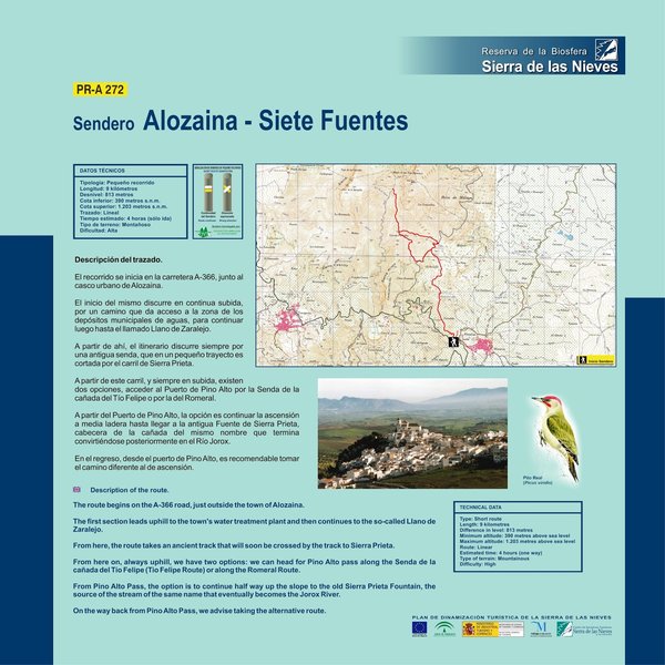
Alozaina – Siete Fuentes – PR-A 272 Trail
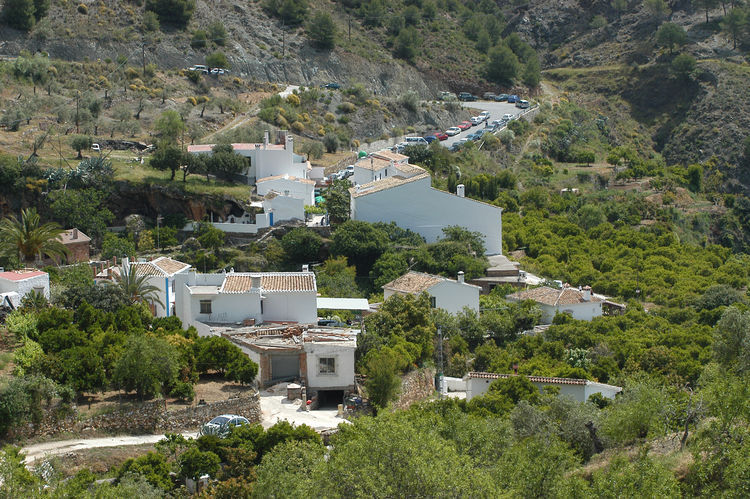
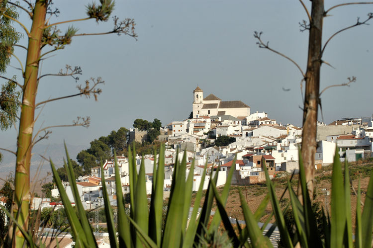
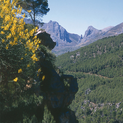
The Alozaina – Siete Fuentes – PR-A 272 Trail begins on the A-366 road, next to the town of Alozaina. It is a continually upward route along a path that leads to an area containing the municipal water tanks, before reaching an area of level ground known as Llano de Zaralejo.
From here, the route runs along an old path that, in a short distance, is intersected by the Sierra Prieta track.
From this track, always uphill, there are two options: take the Pino Alto pass by way of Cañada del Tío Felipe path or by way of El Romeral.
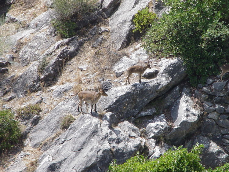
If we choose Pino Alto pass, we continue up to an old spring called Fuente de Sierra Prieta, the head of a dale of the same name, that later becomes the River Jorox.
On the return leg, from Pino Alto pass, it is best to take the other path, the one we did not take on the way up.
Type of Trail: Linear. Trail Status: Approved and signposted 2005. Total length: 9 Km (one way) Sections: 1 Accessibility: It can be done on foot. Download Brochure Maps: I.G.N. Scale 1:50.000. Maps: 1051 and 1052.
Itineraries


Services and infrastructure
Target audiences
Segments
Season


EXPLORE ANDALUSIA
EXPERIENCES


