Cordel de la Solana Trail - PR-A 16
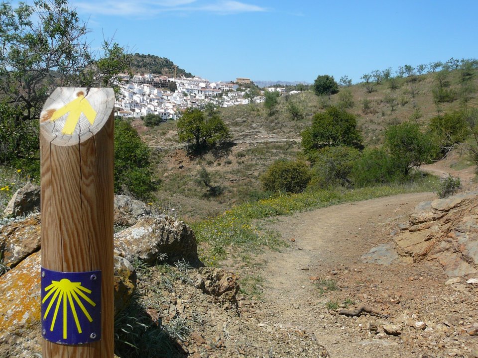
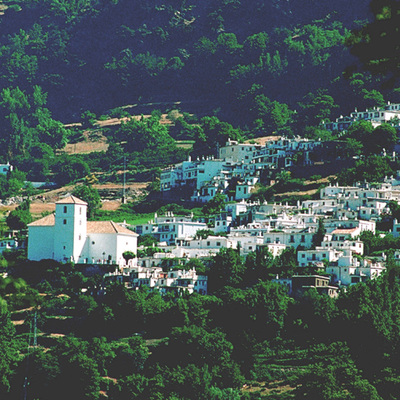
The Cordel de la Solana Trail PR-A 16 goes through the Sierra Nevada National Park and Nature Reserve, one of the nature paradises in Andalusia. It starts in Alboloduy, beside the church. We follow the signposts indicating the way out of the town by its highest point. Here are the information panels about the start of the “Senda del Caballo” local route and the PR-A 16.
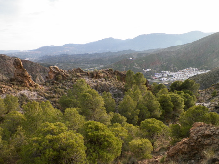
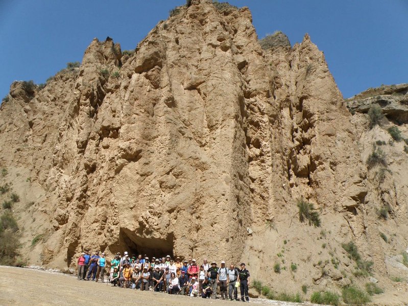
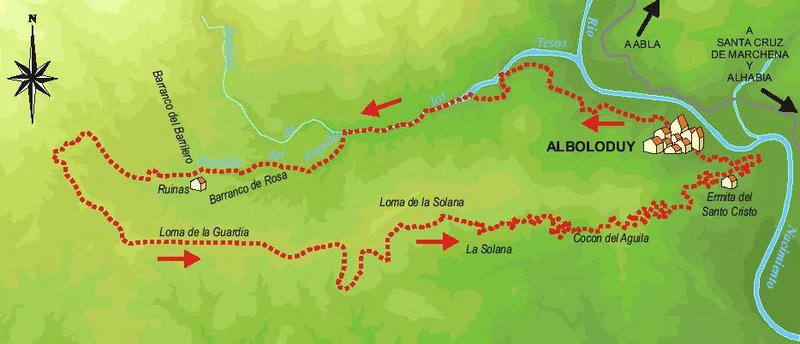
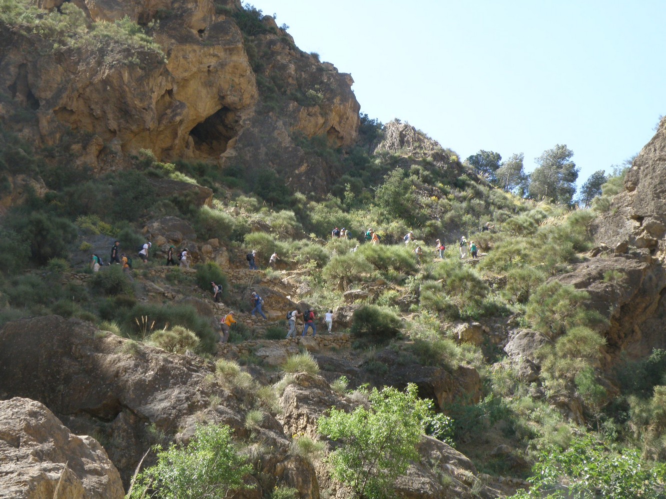
The path continues along a path near the Nacimiento river, it passes by a small waterfall and enters a small ravine, turning left beside a farmhouse. The path now runs among some repopulated pine groves until it meets the Rambla de los Yesos.
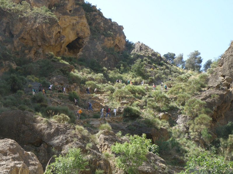
It continues for a little while along the course of the river and then ascends abruptly on the left to a mountain pass and down to the recreational area of Salto del Caballo.
The path returns to the mouth of the watercourse beside the Salto del Caballo dam running in an upward direction. About 300 m along, we ignore a track on the right and continue until we reach the fork with Rambla del Arquillo. Shortly afterwards, we leave the watercourse and take a path on the left. This is the Cordel de Los Arquillos. With views of the Alamillo de Los Reyes and the Barranco de Rosa. We continue with some ruins on our right until we reach a forest track.
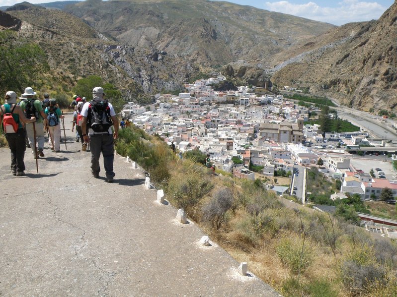
Viewing the sources of numerous gorges, the path goes gently up and down following La Loma de La Guardia. We ignore another track on the right until we reach the Balsilla de Illar, where the track ends and we take a path in the Loma de La Solana area again. It runs through the Cocón del Águila, soon starting a descent towards a hill where you can find a threshing floor. From here, we began a significant descent zigzagging to a natural viewpoint from where you can see Alboloduy and the shrine of Santo Cristo, and then continue as far as the town entering beside the sports facilities and leaving again next to the church, where the trail begins.
Type of Trail: Circular. Trail Status: Approved and Signposted 2007. Total Length: 12.2 km. Sections: 1 Accessibility: It can be done on foot. Download Topographic Guide
Itineraries
Services and infrastructure
Target audiences
Segments
Season
You may be interested
